معرفی
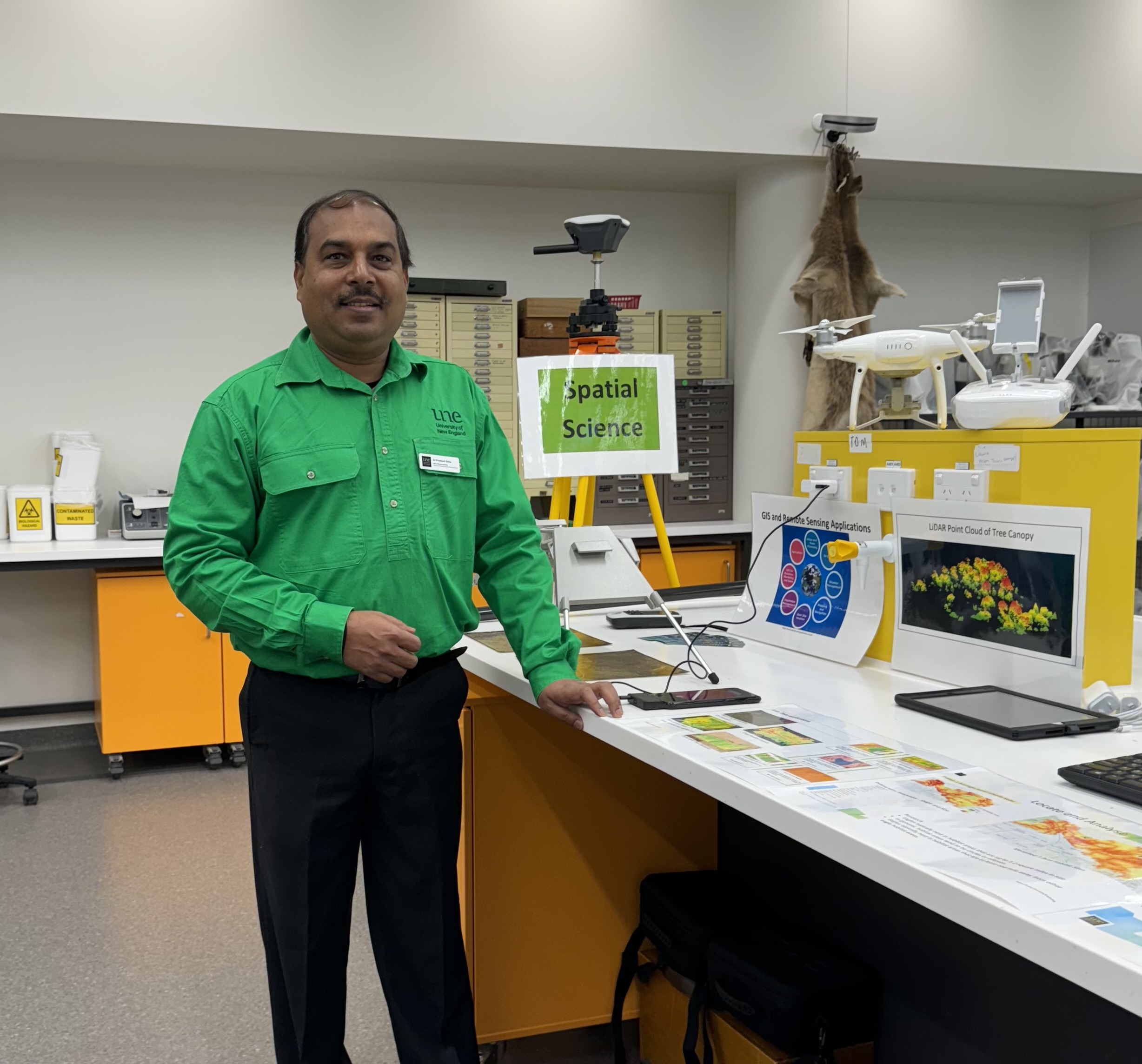
Dr. Priyakant Sinha is a Senior Lecturer in Spatial Science at the University of New England's School of Environmental and Rural Science, with over 20 years of research experience in remote sensing and geospatial science. He specializes in applying remote sensing technologies to agriculture, environmental monitoring, and natural resource management.
His research focuses on:
- Advanced agricultural remote sensing and precision agriculture
- Time-series crop monitoring and yield prediction
- UAV/Drone-based 3D imaging for farm management
- Vegetation species mapping and change detection
- Hyperspectral and LiDAR data analysis
Dr. Sinha teaches courses in GIS, spatial analysis, precision agriculture, and remote sensing applications. He has successfully supervised multiple PhD students in areas ranging from flood hazard mapping to drought monitoring using earth observation data.
Technical expertise includes advanced digital image processing, GIS analysis and modeling, and specialized software including ENVI, ArcGIS, QGIS, and Pix4D. He develops innovative methods for temporal change analysis using machine learning and Google Earth Engine.