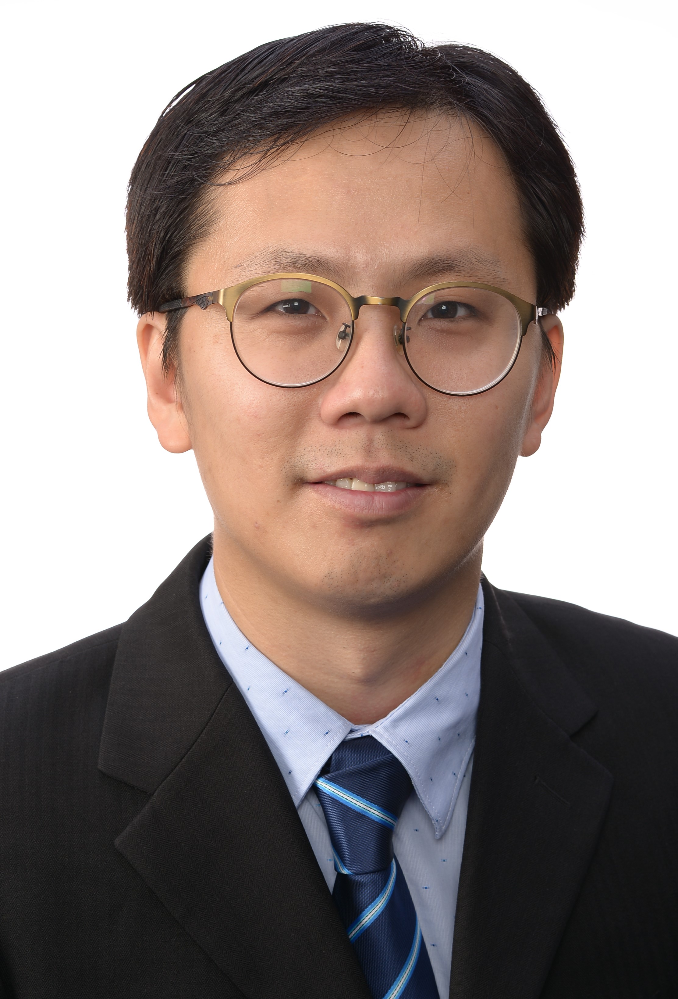
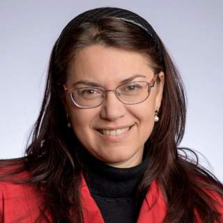
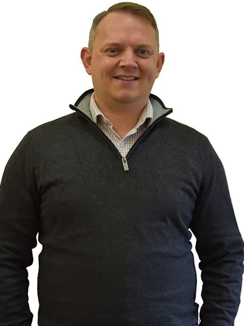
Zahra Gharineiat is an Associate Professor at the University of Southern Queensland , affiliated with the School of Surveying and Built Environment . She has over 8 years of tertiary teaching experience and 11 years of administrative responsibilities. Bachelor of Surveying (BSurv), University of Tabriz Master of Engineering Management (MEngMgt), University of Melbourne PhD, University of Newcastle Research Interests : Zahra specializes in Geomatic Engineering and Machine Learning , with a focus on applications like Unmanned Aerial Vehicles (UAVs) , LiDAR , Digital Twins , and Remote Sensing . Her work spans Earth Science Observations , Satellite altimetry , and Geodetic data capturing , integrating Computational Modelling and Geoinformatics for innovative solutions. Professional Affiliations : She is a member of the Surveying and Spatial Sciences Institute (SSSI) and the International Union of Geodesy and Geophysics (IUGG) . Her research affiliations include the Centre for Future Materials (CFM) , Institute for Advanced Engineering and Space Sciences (IAESS) , and Centre for Astrophysics (CA) .
Jan Skaloud serves as an Adjunct Professor at École Polytechnique Fédérale de Lausanne (EPFL), affiliated with the School of Architecture, Civil and Environmental Engineering (ENAC). He holds positions across multiple departments including SSIE (Institute of Earth Surface Dynamics), EDCE (Doctoral Program in Environmental Sciences and Engineering), and leads the Earth Sensing and Observation (ESO) Lab. His office is located at GC C2 397 in the EPFL campus in Lausanne, Switzerland. Dr. Skaloud's research expertise spans satellite positioning, inertial and integrated navigation systems, sensor orientation and calibration, attitude determination, mobile mapping, airborne laser scanning, and Kalman filtering techniques. His work bridges theoretical development with practical applications in UAV navigation, photogrammetry, and remote sensing. He teaches across three EPFL sections and two faculties, demonstrating his interdisciplinary approach to education. His publication record shows consistent contributions to the field, with recent work (2023-2025) focusing on vehicle dynamic model-based navigation for various UAV platforms, including delta-wing and fixed-wing drones. His research demonstrates a clear trajectory toward increasingly sophisticated navigation systems that integrate aerodynamic modeling with traditional sensor fusion approaches. This trend reflects the growing importance of model-based navigation in achieving higher precision and autonomy in UAV operations. 2021: Samuel Gamble Award for career contribution in photogrammetry & sensing (ISPRS) 2020: U.V. Helava Award for best paper in ISPRS Journal (2016-2019) 2017: Best Demo Award at IEEE International Workshop on Metrology & Aerospace 2014: Hansa Luftbild Award for best paper in PFG journal 2012: Karl Kraus Medal for best textbook in Photogrammetry 2009: GNSS Leader to Watch Innovation Award (GPS World) Dr. Skaloud has supervised numerous PhD students whose work focuses on advanced navigation systems, sensor calibration, and UAV applications. His research has received funding for projects involving direct georeferencing, mobile mapping systems, and UAV-based search and rescue operations. The ESO lab he directs serves as a hub for cutting-edge research in Earth observation technologies. The Earth Sensing and Observation Lab under Dr. Skaloud's direction brings together researchers working on navigation systems, sensor integration, and data processing techniques for geospatial applications. The lab maintains strong connections with industry partners and international research organizations, facilitating technology transfer and collaborative research projects.
Jiri Srba is a Professor at Aalborg University's Department of Computer Science, part of the Technical Faculty of IT and Design. He leads research in the Distributed, Embedded and Intelligent Systems group and contributes to projects like "ControLing wAter In an uRban Environment" and "Collective Adaptive System SynThesIs using Non-zero-sum Games". His office is located at Selma Lagerløfs Vej 300, 9220 Aalborg Øst, Denmark. Contact him at +4599409851 or srba@cs.aau.dk. His core research focuses on formal methods and applied computer science: Model checking and verification of concurrent systems Petri nets and their applications Network protocol verification and synthesis Distributed system correctness Automated reasoning for industrial systems His publication record shows strong emphasis on network verification, model checking optimization, and applying formal methods to environmental systems. Recent work integrates computer science with sustainable engineering, particularly in water management systems and energy control.
Dr. Chian Siau Chen is a Professor at the National University of Singapore (NUS), specializing in earthquake engineering and geotechnical engineering. His research focuses on soil liquefaction, land reclamation, and ground improvement. He holds leadership roles, including Vice President of the Geotechnical Society of Singapore (2016–2017) and President (2024–2025). He has been recognized with prestigious awards such as the Top 10 Innovators Under 35 in Asia (2016) and the Prominent Geotechnical Engineer Award (2022). Education: PhD in Engineering from Cambridge University (2012), B.Eng. (1st Class) from Nanyang Technological University (2006). Research Interests: Earthquake Engineering, Centrifuge Modelling, Ground Improvement, Remote Sensing, and Land Reclamation. His work bridges theoretical analysis and practical applications, including disaster risk reduction and sustainable construction. Publications: Over 50 peer-reviewed articles, focusing on seismic stability, soil mechanics, and innovative techniques for urban infrastructure. Recent trends emphasize digital tools (e.g., LiDAR, UAV) and probabilistic models for ground settlement predictions. Awards: Extensive accolades span technical excellence, teaching (ATEA 2017–2019), and professional service. He is a committee member for international geotechnical councils and editorial boards of journals. Grants & Projects: Funded by EPSRC for post-disaster reconnaissance and by Singaporean agencies for land reclamation. Leads collaborative efforts to recycle construction waste into sustainable fill materials. Labs/Teams: Active in NUS research groups and international collaborations, contributing to urban earthquake engineering and geotechnical innovation.
Dieu Tien Bui is a Full Professor in the Department of Business and IT at the University of South-Eastern Norway (USN) School of Business. His research focuses on Geospatial Artificial Intelligence Machine Learning GIS and Remote Sensing Natural Hazard Modeling Environmental Problems (landslides, floods, soil salinity, biomass) . He has contributed to over 15 recent publications in journals like Science of the Total Environment , Remote Sensing , and Geomorphology , emphasizing hybrid AI models for landslide and flood susceptibility. His work spans Vietnam, India, China, and Iran with applications in climate change adaptation and disaster management. Scientific Awards: Global Highly Cited Researcher PhD Supervision: He has supervised 8 PhD students at institutions including USN, NTNU, and Vietnamese universities.
Jason Ur is the Stephen Phillips Professor of Archaeology and Ethnology at Harvard University, specializing in early urbanism, landscape archaeology, and remote sensing. He directs the Erbil Plain Archaeological Survey (EPAS) in Iraqi Kurdistan and has conducted fieldwork in Syria, Turkey, and Iran. His work leverages declassified satellite imagery and geospatial technologies to study ancient settlement patterns, irrigation systems, and transportation networks. Research Focus: Early urban development in Mesopotamia, GIS-based landscape analysis, qanat systems, and postmortem segregation in colonial New England cemeteries. Field Projects: EPAS (2012–present), Tell Hamoukar Survey (1999–2001), and studies of colonial-era burying grounds since 2020. Methodology: Remote sensing (CORONA, HEXAGON, U2 imagery), UAV photogrammetry, 3D visualization, and intensive ground surveys. Key Findings: Discovery of undocumented urban centers, mapping of ancient canals and hollow ways, and analysis of rural Assyrian landscapes.
Roya Nasimi, Ph.D., is an Assistant Professor in the Department of Engineering at California State University, East Bay, where she joined in Fall 2023. Her expertise spans structural engineering, computer vision, and artificial intelligence, with a focus on developing innovative solutions for infrastructure monitoring and safety. Dr. Nasimi's educational background includes: Ph.D. with distinction in Structural Engineering from the University of New Mexico Master’s degree in Structural Engineering from the University of Tabriz Bachelor’s degree in Civil Engineering from the University of Tabriz Her research focuses on structural health monitoring using advanced technologies. She integrates computer vision , artificial intelligence , and machine learning to develop systems for monitoring aging infrastructure, particularly bridges. Her work includes designing low-cost and high-end sensor systems, conducting full-scale bridge experiments, and collaborating on interdisciplinary projects to enhance infrastructure safety and resilience. Her recent publications (2021-2025) demonstrate a strong emphasis on non-contact monitoring techniques using drones, lasers, and computer vision. Key trends include the application of deep learning for displacement measurement, digital twinning for infrastructure, and rockfall prevention through machine learning. Her work bridges civil engineering with cutting-edge technology to address critical infrastructure challenges. Dr. Nasimi's research is supported by multiple grants: U.S. Army Corps of Engineers Transportation Research Board (TRB) Transportation Consortium of South-Central States (Tran-SET) New Mexico Consortium She serves on two TRB standing committees and mentors students in structural health monitoring and infrastructure technology. Dr. Nasimi leads interdisciplinary research teams focused on infrastructure monitoring, utilizing drones, lasers, and computer vision systems. Her work involves field experiments on bridges and rail systems, often in collaboration with government agencies and research consortia.
Mila N. Koeva is a Vice Dean Research and senior Associate Professor at the University of Twente's Faculty of Geo-Information Science and Earth Observation (ITC), Department of Urban and Regional Planning and Geo-Information Management. Her research focuses on 3D modeling and Digital Twins for land management and urban planning, integrating geospatial technologies, UAV data, and AI/ML methods. PhD in architectural photogrammetry MSc in Engineering (Geodesy) Research Themes: Digital Twinning for urban ecosystems AI-driven cadastral boundary extraction 3D modeling with LiDAR and satellite data Global partnerships in Rwanda, Kenya, and Ethiopia Interoperability standards for local digital twins Scientific Contributions: Geospatial World Innovation Award 2021 Copernicus Masters Competition (3rd place 2016) Editorial roles in Photogrammetric Records and MDPI journals Keynote speaker at 3D GeoInfo, GI Forum, and FIG events Her educational impact includes developing courses, lecturing, and supervising students whose work has received top awards in The Netherlands and international competitions.
Antonia Teresa Spano is a Full Professor at the Department of Architecture and Design (DAD) of Politecnico di Torino, Italy. She serves as Vice Coordinator of the PhD Program in Architectural Heritage and is a member of the Future Urban Legacy Lab (FULL). Her research focuses on geomatics, 3D modeling, and digital documentation for cultural heritage preservation. University: Politecnico di Torino Department: Department of Architecture and Design (DAD) Spano's work integrates advanced geomatic techniques like LiDAR, UAV photogrammetry, and SLAM-based modeling to address challenges in architectural and archaeological heritage documentation. Her expertise spans GIS, digital photogrammetry, and machine learning applications in conservation processes. Her recent publications emphasize multi-sensor 3D surveys for Pier Luigi Nervi's structures, AI-driven decay detection, and semantic classification of LiDAR data. These works align with SDG goals for sustainable cities and quality education. Scientific Awards: Premio Giovani CNR (2005) Miglior Poster at GISTAM (2016) and GEORES (2019) Fellow of CIPA Heritage Documentation (2023-2033), CIRAAS ETS (2020-2030), and ISPRS (2017-2024) Spano supervises PhD students in architectural heritage programs and leads numerous research projects, including collaborations with institutions like the Pompeii Archaeological Park, CRAST, and international universities. She has contributed to editorial boards and program committees of journals and conferences such as Virtual Archaeology Review and ISPRS symposiums.
George Vosselman is a Full Professor at the University of Twente, Faculty of Geo-Information Science and Earth Observation (ITC), specializing in Geo-Information Extraction with Sensor Systems. Educated with honours at Delft University of Technology (1986) and PhD in Photogrammetry from Rheinische Friedrich Wilhelms University of Bonn (1991), he has held academic roles at the University of Stuttgart, University of Washington, and Delft University of Technology (1993–2004). Since 2004, he has been a key figure at ITC, serving as department head (2012–2018, 2023–). Education: Delft University of Technology (BSc with honours, 1986), Rheinische Friedrich Wilhelms University of Bonn (PhD with honours, 1991) His research focuses on leveraging sensor technology advancements for large-scale geo-information production. Key expertise includes quality analysis of laser altimetry data, point cloud segmentation/classification, 3D building/road modeling, and model-driven imagery analysis. He has published over 220 papers and co-edited the textbook Airborne and Terrestrial Laser Scanning (2010). Recent work integrates deep learning with geospatial data, addressing semantic segmentation, visual question answering, and drone-based mapping. Recent publications (2025–2023) highlight trends in deep learning for remote sensing , including multimodal question answering benchmarks (HRVQA), vectorized building extraction (RoIPoly), latent diffusion for road modeling (LDPoly), and drone obstacle avoidance systems. His work bridges photogrammetry , computer vision , and robotic mapping , with applications in urban planning, disaster management, and informal settlement monitoring. Scientific Awards : Hansa Luftbild (1993), ISPRS Otto von Gruber (2000), Schwidefsky Medal (2012), Karl Kraus Medal (2012), ASPRS Fairchild Award (2015), ISPRS Fellow (2020) As an educator, Vosselman has taught photogrammetry, remote sensing, and laser scanning at Delft University of Technology and globally. He chaired the ITC Examination Board (2015–2023) and modernized geo-information education in Asia/Africa. His software for point cloud processing is commercialized in Europe, and he currently leads ISPRS working groups on point cloud methodologies. Labs/teams include the Earth Observation Science Chair Group at ITC, collaborating on UAV-based datasets (UAVid, UAVPal) and indoor laser scanning systems. Recent activities (2025) involve invited talks on pulse matching limitations in laser scanning and deep learning for point cloud classification.
Dr. Craig Hancock is a Research Professor in Geospatial Engineering with 15 years of research experience in Surveying and Geodesy. His expertise spans GNSS error mitigation, structural monitoring, and geospatial techniques for digital construction. He has supervised 10 PhD students and published over 80 academic papers. Education: BSc and PhD in Surveying/Geomatics Key Projects: Principal Investigator for projects on GNSS error mitigation, structural health monitoring, and marine economy technology. His research focuses on three core areas: GNSS error categorization and mitigation (particularly ionospheric effects), structural and environmental change monitoring, and geospatial data acquisition for BIM and digital construction. Recent work includes improving 3D modeling accuracy, UAV-based GNSS spoofing detection, and BIM-enabled facility management in healthcare infrastructure. His articles explore topics like sensor optimization, structural dynamics, and geospatial data fusion. Grants include £150k for bridge deformation studies and £9k for ionospheric error analysis. He actively contributes to teaching and enterprise initiatives, integrating geospatial technologies with industry needs.
Nathan Hopkins is an Assistant Teaching Professor and Director of Undergraduate Studies in the Department of Geological Sciences at the University of Missouri. He serves as Director of the Geology Field Camp and specializes in geological field methods, geomorphology, glacial geology, and geographic information systems. His research emphasizes practical field techniques and earth surface processes. Professor Hopkins teaches foundational courses including Introduction to the Earth, The Clean Energy Transition, and the capstone Geology Field Camp course. His research focus includes till fabric analysis, glacial sedimentology, and applications of remote sensing technologies like UAVs and InSAR in geological mapping. Recent publications reflect Hopkins' expertise in glacial processes, particularly investigations of ice rheology using magnetic anisotropy techniques and studies of drumlin formation mechanisms. His work integrates field observations with laboratory analyses to understand subglacial processes and landform development. Field-based research spans locations from Alaska to Sweden, examining glacial deposits and landforms. Hopkins maintains active engagement in geological education through field instruction and curriculum development. As Field Camp Director, he oversees essential field training for geology students. His pedagogical research examines effective approaches to field education and geological mapping instruction.
Margaret Kalacska is an Associate Professor in the Department of Geography at McGill University, leading the Applied Remote Sensing Lab. Her research focuses on advancing remote sensing technologies like hyperspectral imaging, Remotely Piloted Aircraft Systems (RPAS), LiDAR, and thermal imaging for environmental science and natural hazard monitoring. She has pioneered the use of RPAS-HSI systems, including developing Canada’s first fully operational RPAS-HSI for the Canadian Airborne Biodiversity Observatory (CABO) since 2018. Dr. Kalacska holds a PhD and MSc in Earth and Atmospheric Sciences from the University of Alberta. Her interdisciplinary work spans Canada, Brazil, Tanzania, Ghana, the Peruvian Amazon, Panama, Madagascar, and Costa Rica. Notable achievements include being the first Canadian woman to lead an airborne hyperspectral mission (MAC-13) in Costa Rica (2013) and receiving the Silver Medal from the Canadian Remote Sensing Society (2018). Her lab specializes in integrating cutting-edge remote sensing tools for biodiversity conservation, ecosystem monitoring, and disaster response. Recent projects include the Fish + Forest initiative studying aquatic habitats in Brazil and advancing custom RPAS for hyperspectral imaging. She also collaborates with the National Research Council of Canada and international organizations like NATO. Awards: Fessenden Prize (2014), Silver Medal (2018), Steacie Prize Nomination (2020) Key Projects: CABO, Fish + Forest , RPAS-HSI System Development Technologies: UAV LiDAR, Structure-from-Motion Photogrammetry, Satellite Data Validation Her research bridges environmental science and technology, emphasizing global applications in conservation and climate resilience.
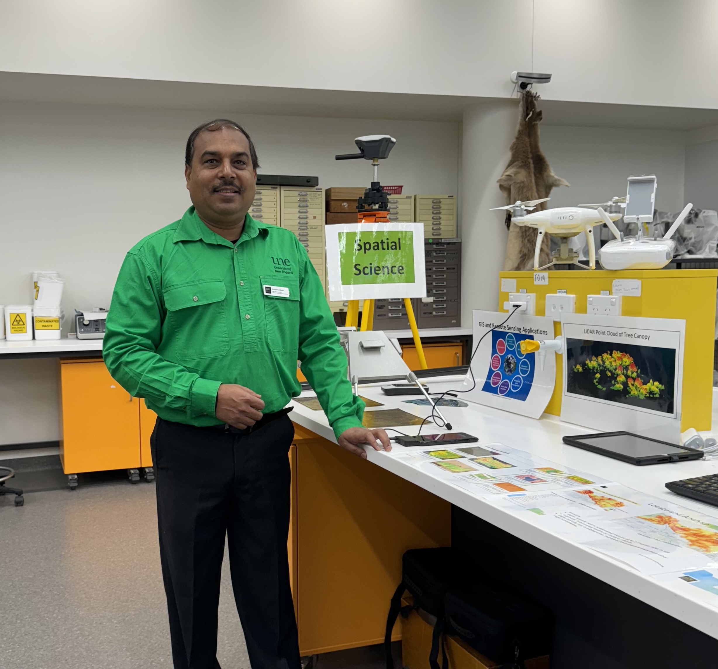
Dr. Priyakant Sinha is a Senior Lecturer in Spatial Science at the University of New England's School of Environmental and Rural Science, with over 20 years of research experience in remote sensing and geospatial science. He specializes in applying remote sensing technologies to agriculture, environmental monitoring, and natural resource management. His research focuses on: Advanced agricultural remote sensing and precision agriculture Time-series crop monitoring and yield prediction UAV/Drone-based 3D imaging for farm management Vegetation species mapping and change detection Hyperspectral and LiDAR data analysis Dr. Sinha teaches courses in GIS, spatial analysis, precision agriculture, and remote sensing applications. He has successfully supervised multiple PhD students in areas ranging from flood hazard mapping to drought monitoring using earth observation data. Technical expertise includes advanced digital image processing, GIS analysis and modeling, and specialized software including ENVI, ArcGIS, QGIS, and Pix4D. He develops innovative methods for temporal change analysis using machine learning and Google Earth Engine.
Dr. Jose Manuel Sánchez Peña is a Full Professor at Universidad Carlos III de Madrid (UC3M), affiliated with the Grupo Universitario de Tecnologías de Identificación (GUTI). His research focuses on precision agriculture technologies, optoelectronics, and neuroscientific interfaces. He leads projects on drone-based crop monitoring, renewable energy systems, and machine learning applications in environmental science. Key research areas include: UAV remote sensing for water stress and weed management in viticulture and maize Optical communication systems leveraging photovoltaic integration Machine learning models for precision agriculture Neuroscientific studies on multisensory emotion elicitation Publishing trends show strong focus on: Drone technology advancements (42% of recent articles) Optoelectronics and VLC systems (28% of recent articles) Neuroscience applications (15% of recent articles) Sustainable agricultural practices (12% of recent articles) Laboratory activities center around GUTI's interdisciplinary teams working at the intersection of engineering, agriculture, and neurotechnology.