معرفی
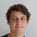
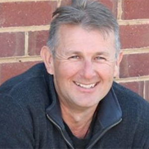
Remy Dehaan is a Spatial Scientist and Researcher at Charles Sturt University (CSU), affiliated with the Agricultural, Environmental and Veterinary Sciences School and the Cropping, Horticulture and Soil Health Department. He specializes in remote sensing, drone technology, and precision agriculture. His research focuses on hyperspectral imagery for weed mapping, stubble burning effects, vegetation changes in national parks, and soil health improvements. As Chief Pilot of CSU's drone fleet, he integrates drone data to enhance decision-making in agriculture and environmental management.
- Key research areas include:
- Hyperspectral and multispectral imaging
- Drone-based environmental monitoring
- Weed detection and management
- River system geomorphic processes
- Soil amelioration techniques
Dr. Dehaan has been awarded grants for projects such as developing drone technology for weed control, national vegetation mapping frameworks, and creating a 'Weed Managers Guide to Remote Detection.' His work bridges remote sensing innovations with practical agricultural and environmental applications. He is also a registered supervisor, guiding research students in these interdisciplinary areas. His contributions include over 35 peer-reviewed publications, emphasizing precision agriculture, environmental monitoring, and AI-driven solutions for land management challenges.