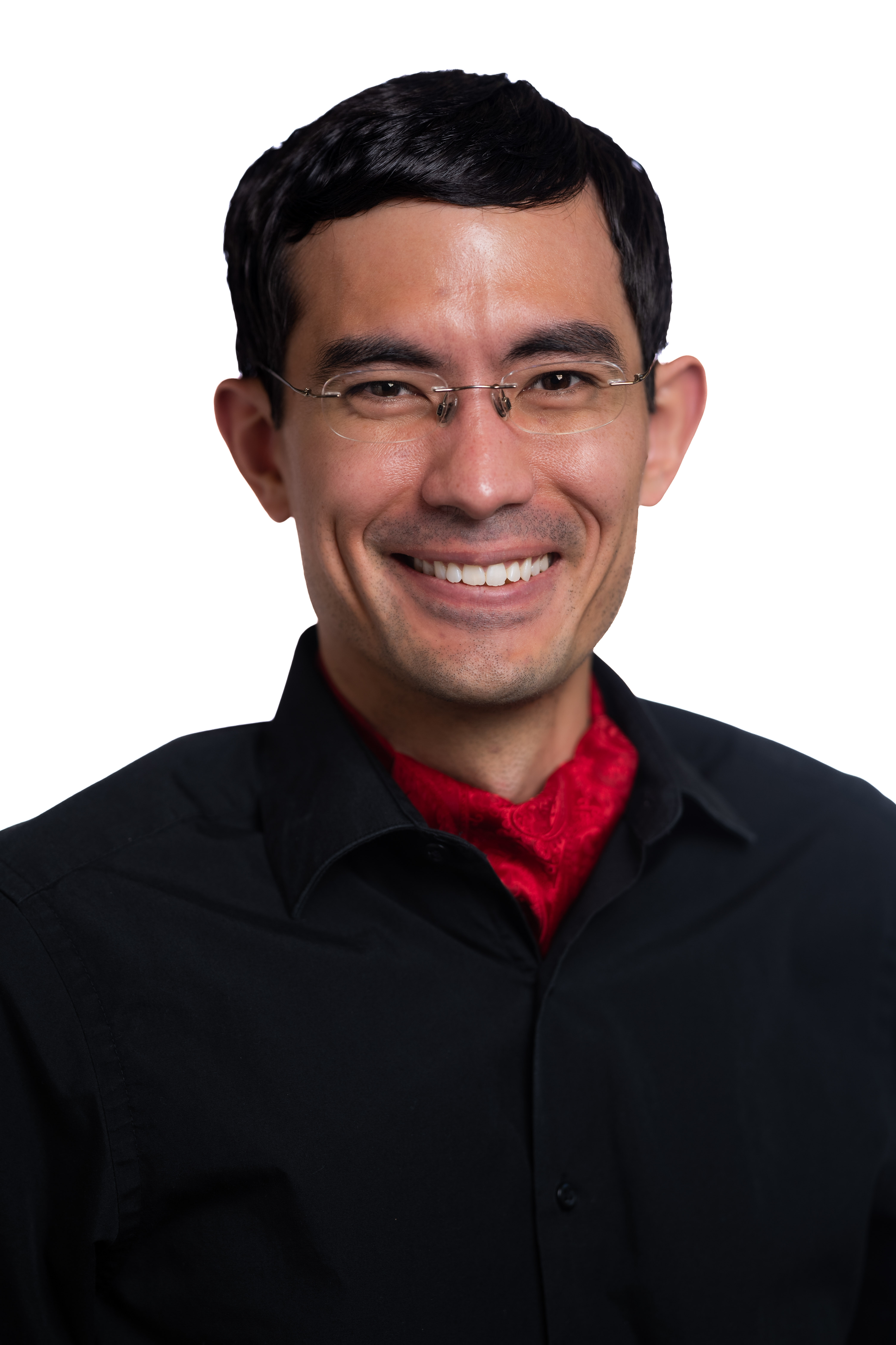
Daniel Hayesمشاهده پروفایل
دانشیار
Daniel Hayes serves as Associate Professor of Remote Sensing & Geospatial Analysis and Director of the Wheatland Geospatial Laboratory at the University of Maine's School of Forest Resources. He actively contributes to NASA Science Teams for the Global Ecosystem Dynamics Investigation (GEDI) and Carbon Monitoring System (CMS), while maintaining leadership in major collaborative initiatives including the North American Carbon Program (NACP) and NASA's Arctic-Boreal Vulnerability Experiment (ABoVE). His educational credentials include: Ph.D. from Oregon State University (2006) M.S. from the University of Maine (1999) B.S. from SUNY ESF (1996) Hayes' research integrates remote sensing technologies with ecosystem science to address carbon cycle dynamics and climate change impacts across forested landscapes. His expertise spans Arctic-boreal ecosystems, permafrost-carbon feedbacks, and advanced LiDAR applications for forest inventory. Current investigations focus on vegetation-permafrost interactions, forest health monitoring through satellite imagery, and developing cost-effective workflows for large-area forest assessment. He directs substantial research funding including NSF's $6M INSPIRES project on forest ecosystem resiliency and a $3M NRT Traineeship in conservation science. Additional active grants involve NASA EPSCoR forest health assessments, National Park Service intertidal zone mapping, and DOE investigations of permafrost dynamics. As Director of the Wheatland Geospatial Laboratory, Hayes oversees interdisciplinary research infrastructure supporting geospatial analysis across natural resource applications. The laboratory serves as a hub for advancing remote sensing methodologies and training the next generation of forest resource scientists.