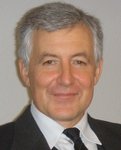
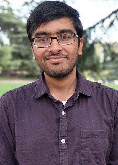
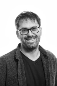
Serdar Bilgiمشاهده پروفایل
دانشیار
Assoc. Prof. Dr. Serdar Bilgi is an academic at Istanbul Technical University (ITU), affiliated with the Civil Engineering Faculty and the Department of Geomatics Engineering . He holds the rank of Associate Professor and has served in leadership roles such as Head of Department and Vice Dean at ITU. His research focuses on Cartography , Surveying Techniques , and interdisciplinary applications of geomatics, including 3D modeling, deformation monitoring, and geospatial analysis. Education : PhD in Geomatics Engineering, ITU (2003–2012) MSc in Geodesy and Photogrammetry Engineering, ITU (1997–2001) BSc in Geodesy and Photogrammetry Engineering, ITU (1997–2001) Research Interests : Prof. Bilgi’s work spans cultural heritage documentation (using UAVs and 3D modeling), deformation monitoring of dams and fault zones via GPS and geodetic methods, and GIS applications in urban planning and disaster management. He has led projects on topics like laser scanning for endoscopic imaging and integrating historical data into modern systems. Publications : His recent work includes studies on visual localization algorithms, dam deformation analysis, and spatial patterns in Istanbul. These reflect his expertise in computational geomatics, sensor fusion, and geophysical modeling. Awards : BİDEB 2214 International Research Scholarship (TUBITAK, 2010) Grants & Projects : He has executed over 15 research projects, including: Deformation Monitoring of Atatürk Dam (2006–2013) – Geodetic risk assessment Integration of 3D UAV Models into GIS (2019–2024) – Heritage site preservation CBS Sel Heyelan Hasar Tahmini (2009–2017) – Flood risk modeling Labs/Teams : Though not explicitly named, his projects involve collaboration with ITU’s geomatics and engineering teams, focusing on fieldwork and computational modeling.