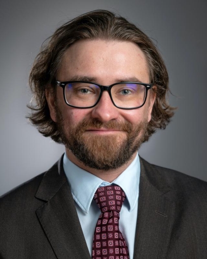
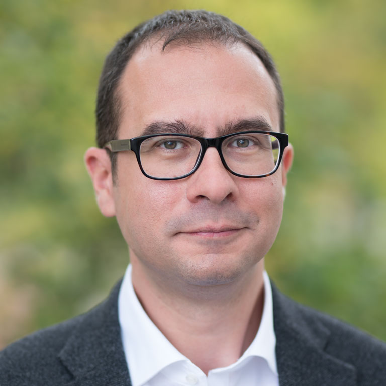
Hans van der Kwast is an academic affiliated with IHE Delft Institute for Water Education since 2012. He previously worked as a researcher at the Flemish Institute for Technological Research (VITO) between 2007 and 2012, focusing on spatial dynamic environmental modeling. His teaching emphasizes Free and Open Source Software (FOSS) and open data for professionals in the Global South, fostering innovative entrepreneurship. At IHE Delft, he coordinates eLearning support for partners and leads research on spatial data infrastructure (SDI), Citizen Observatories, and remote sensing for water productivity. He is a QGIS Certified Lecturer, developing OpenCourseWare, online courses, and training programs in GIS, remote sensing, and hydrological modeling. He initiated the GIS OpenCourseWare platform and authored the book QGIS for Hydrological Applications . He contributes actively to the QGIS and FOSS4G communities, serves on the Dutch QGIS User Group board, and developed the PCRaster Tools plugin for QGIS. His YouTube channel, with over 17k subscribers, provides tutorial videos on GIS and remote sensing. His research spans water resource management, climate change impacts, and environmental modeling, with a focus on tropical regions. He has collaborated on projects addressing nitrogen dynamics in rivers, floodplain inundation mapping, and uncertainty analysis in remote sensing-derived evapotranspiration estimates. Van der Kwast’s work integrates technology and education to enhance capacity building in water management, particularly leveraging open data and collaborative platforms. His contributions bridge academic research with practical training, emphasizing sustainability and innovation in developing contexts.