معرفی
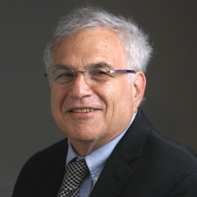
Tim Elrick serves as Faculty Lecturer and Director of the Geographic Information Centre (GIC) at McGill University, leading a full-time team that provides comprehensive geospatial support across campus. Located in Burnside Hall (805 Sherbrooke St West), the GIC operates Monday-Thursday 9:30 a.m.–4:30 p.m. as McGill's central hub for geospatial data science, offering specialized computer labs, study spaces, and expert consultation services.
His research expertise spans Geographic Information Science, Geospatial Data Science, and Remote Sensing, with notable emphasis on computational methods using R programming. As described in team profiles, he functions as a "geospatial jack-of-all-trades," supporting diverse analytical workflows from drone imagery acquisition to advanced spatial modeling across academic disciplines.
The GIC under his direction provides critical infrastructure including 24/7 remote computer access via AnyDesk (requiring McGill VPN), individual ArcGIS Pro licenses for all university members, and sustainability-focused operations. The center holds Silver Sustainable Workplace Certification from McGill Office of Sustainability and actively supports campus-wide sustainability initiatives through the $1M annual Sustainability Projects Fund.
Dr. Elrick oversees a hybrid support model combining full-time technical staff (Ruilan Shi, Sichen Wan) with student employees from Geography, Urban Studies, and Sustainability programs. The team delivers both in-person front-desk assistance and virtual consultations for GIS project development, methodological troubleshooting, and geospatial software training, serving all McGill affiliates regardless of academic discipline.