معرفی
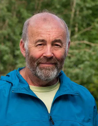
James Boxall is an Adjunct Professor in the Marine Affairs Program and holds a Lecturer appointment in Earth and Environmental Sciences at Dalhousie University. He serves as the Geographer and Map Curator in the GIS Centre within Dalhousie University Libraries. His interdisciplinary research focuses on geography, GIS, digital libraries, and climate impacts on coastal communities, with a specialization in sea level rise. He co-edited the book *GIScience Teaching & Learning Perspectives* (Springer).
Professional affiliations include past presidencies of the Canadian Cartographic Society and Geomatics Association of Nova Scotia, and roles as Past-Governor of the Royal Canadian Geographical Society and Board member of the Nova Scotia Museum. Awards include the RGS Fellowship and the Lifetime Achievement in GIS Award.
His work bridges geospatial technologies with environmental and health studies.obbies include photography, sailing, and non-academic writing.