معرفی
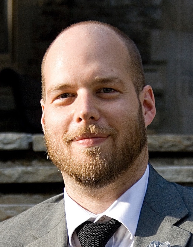
Christopher Higgins is an Assistant Professor at the University of Toronto, affiliated with the Department of Geography and Planning across the Scarborough (UTSC) and St. George (UTSG) campuses. His research integrates GIS and geographic data science to analyze urban form-function relationships, focusing on spatial modeling of urban networks, accessibility, travel behavior, and sustainable development.
- PhD, McMaster University
His work spans 2D/3D/4D econometrics, urban volumetrics, and geodemographic modeling, with applications in transit priority corridors, telework impacts on housing markets, and policy interventions. Recent projects include SSHRC-funded research on transit-oriented development in Canadian cities.
Key trends in his publications include: (1) 3D/4D accessibility modeling for urban planning, (2) spatiotemporal analysis of land value uplift from transit, (3) methodological innovation in Floating Catchment Area techniques, and (4) multimodal accessibility frameworks for housing markets. He actively develops open-source tools in R for accessibility analysis, including integration with the {r5r} and {accessibility} packages.
Professor Higgins advises PhD and graduate students like Robert Arku, teaching courses such as GGRC30 Advanced GIS and JPG1400 Advanced Quantitative Methods. His technical blog posts demonstrate detailed workflows for accessibility analysis in Toronto using OpenStreetMap, GTFS transit data, and spatiotemporal modeling.