معرفی
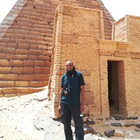
Dr. Ahmed Mahmoud is a Remote Sensing Geoscientist and Research Associate at the University of Leicester's School of Archaeology and Ancient History. He holds a PhD in Surveying Engineering and Space Geodesy from the University of Nottingham. His work focuses on applying Remote Sensing, GIS, and Land Surveying techniques for Earth Observation and Environmental Monitoring.
Currently, he contributes to the Endangered Archaeology in the Middle East and North Africa (EAMENA) project, developing a Machine Learning Automated Change Detection (ACD) system to monitor threats to archaeological sites and creating user-friendly cloud-based interfaces for heritage site management by local authorities.
His expertise bridges geospatial technologies with cultural heritage preservation, emphasizing practical applications for environmental and archaeological conservation.