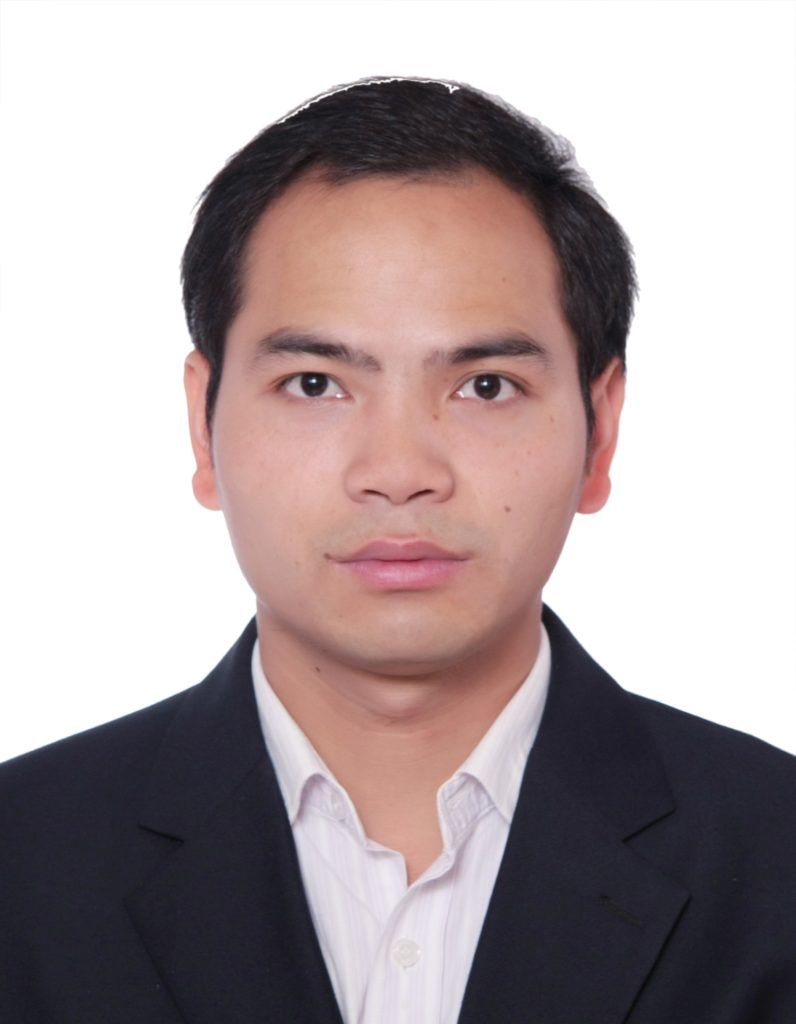
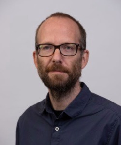
Thomas Oommen is Professor and Chair of the Department of Geology and Geological Engineering at the University of Mississippi. His research utilizes remote sensing, machine learning, and geospatial analysis for geohazard characterization and infrastructure monitoring. Education includes a PhD from the University of Michigan (2013) and positions at Michigan Technological University (2010-2023) where he directed the Computational Science & Engineering PhD program. Research focuses on landslide susceptibility modeling, flood risk assessment, and infrastructure monitoring using multi-sensor remote sensing data. Recent work employs UAVs, InSAR, and machine learning for terrain characterization and disaster resilience. Publications (2023-2025) demonstrate advancements in landslide prediction algorithms, flood mapping techniques using Google Earth Engine, and machine learning applications for soil characterization. Key methodological innovations include synthetic data augmentation for tailings impoundment classification and HAND model improvements for flood risk assessment. Grant funding includes NSF awards for community resilience projects in Mississippi. Laboratory facilities include geophysical equipment for field investigations and computing resources for spatial analysis. Dr. Oommen leads field investigations of significant geohazards including the 2024 Wayanad landslide and Edenville Dam failure. Research teams collaborate with USGS on earthquake hazard projects in the Eastern Tennessee Seismic Zone.