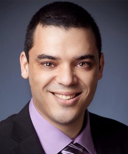
Pierre Lacroixمشاهده پروفایل
مدرس ارشد
Dr. Pierre Lacroix is a Senior Lecturer at the Institute for Environmental Sciences, University of Geneva, where he conducts research and teaches in GIS, Spatial Data Infrastructure, and programming. He is also Head of Unit at UNEP/GRID-Geneva, leading initiatives such as the MapX platform for natural resource data management. His work bridges environmental science and policy through geospatial technologies. His research focuses on environmental modelling, geoprocessing, and the science-policy interface , with a strong emphasis on Spatial Data Infrastructure (SDI) and Earth Observation. He applies these domains to critical global challenges including sustainable mining, land degradation, water security, and the implementation of Sustainable Development Goals (SDGs). His expertise is grounded in both technical GIS development and policy-oriented applications. The trend in his recent publications reveals a consistent focus on leveraging satellite data and open geospatial platforms—such as Data Cube and MapX—to monitor environmental change, detect artisanal mining, assess land degradation, and support evidence-based environmental governance. His work spans multiple continents, particularly Africa and Europe, and integrates interdisciplinary methods from remote sensing, data science, and environmental policy. Scientific Awards: No scientific awards mentioned in the provided text. Dr. Lacroix has led and contributed to numerous international research projects, including H2020 ERA-PLANET, FP7 IASON, EOPOWER, enviroGRIDS, and GEF TWAP. He has trained over 1,500 professionals in GIS and has mentored multiple researchers in environmental geoinformatics. His grants and projects often involve collaboration with UNEP, the European Commission, and academic institutions worldwide. He is actively involved in the enviroSPACE Lab at the University of Geneva and leads technical teams at UNEP/GRID-Geneva , particularly on the MapX platform. These teams focus on developing scalable tools for environmental data integration, visualization, and policy support using open-source geospatial technologies.