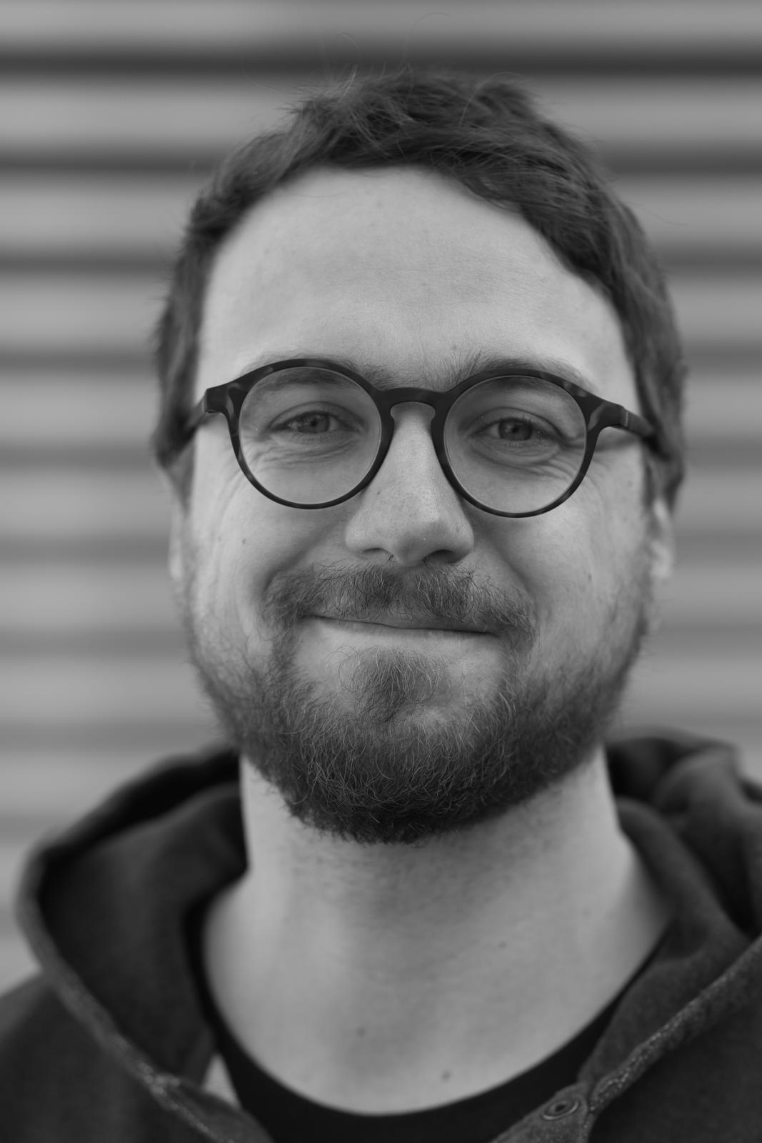
معرفی
Uğur Algancı is an Associate Professor at Istanbul Technical University's Department of Geomatics Engineering in the College of Engineering. His research focuses on remote sensing, satellite image processing, and artificial intelligence applications in geospatial sciences.
Current projects include:
- 2025: Multi-sensor Bathymetric Mapping (SRP Project)
- 2021-2023: Satellite-Derived Bathymetry for Horseshoe Island (TUBITAK Project)
Research interests span:
- Coastal and marine geospatial analysis
- Land use/land cover change detection
- Super-resolution image enhancement
- AI-driven environmental monitoring
- Shallow water bathymetry
- Geospatial decision support systems
Recent work demonstrates expertise in:
- Deep learning for coastline segmentation
- Historical aerial photograph restoration
- Forest fire prevention systems
- Earthquake-related air quality analysis
- Antarctic bathymetric mapping
۰مقاله منتشرشده