معرفی
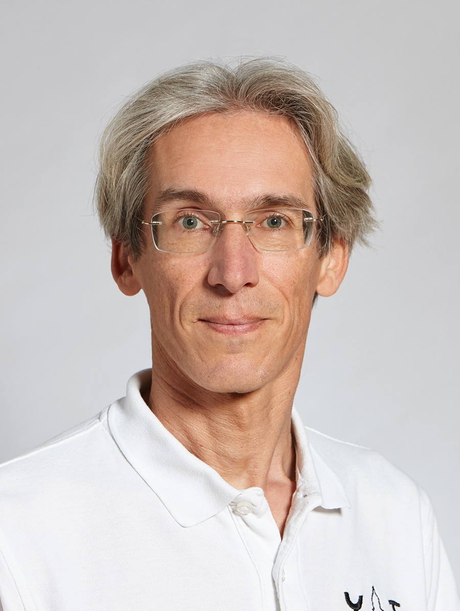
Torben Peters is a Lecturer in the Department of Civil, Environmental and Geomatic Engineering at ETH Zürich. His research focuses on 3D computer vision, deep learning, and generative models applied to geospatial analysis and photogrammetry.
Research Focus: Peters develops computational tools for processing LiDAR point clouds, aerial imagery, and satellite data. His work enables automated environmental monitoring (e.g., forest inventories and avalanche mapping) and urban modeling through advanced segmentation and 3D reconstruction techniques. Generative models like TetraDiffusion expand capabilities in geometric deep learning.
Publication Trends: Recent articles emphasize scalable geospatial AI, including war damage assessment in Ukraine, global biomass datasets, and self-supervised shape completion. Methodological innovations center on reducing annotation dependencies and improving geometric accuracy.
Teaching: Leads courses on image-based mapping and geodetic data processing at ETH Zürich.