معرفی
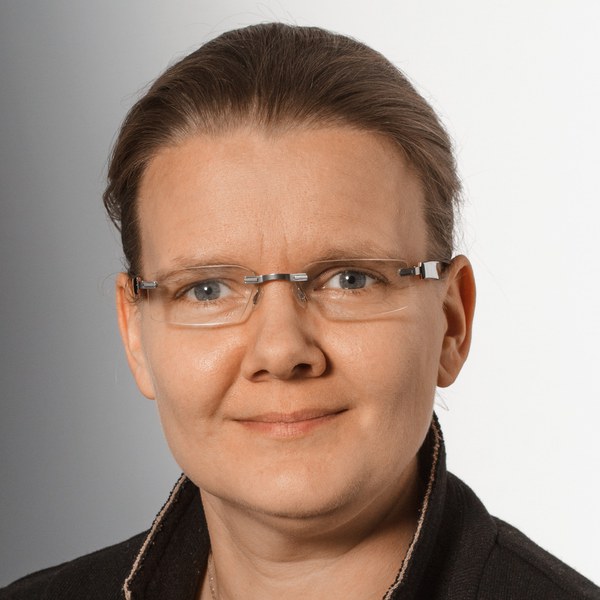
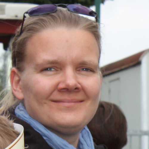
Dr. Susanne Wenzel is a postdoctoral researcher and teaching assistant at the Photogrammetry group (IGG - Institute of Geodesy and Geoinformation) at the University of Bonn, and a scientific coordinator at Forschungszentrum Jülich since February 2018. Her academic journey began with studies in Geodesy at the Technical University of Berlin and University of Bonn, following professional training as a surveying technician at the Berlin Senate of Urban Development.
Her research focuses on pattern recognition and image interpretation, particularly applying machine learning and deep learning techniques to photogrammetry and remote sensing problems. Wenzel's work prominently features Markov Marked Point Processes and the analysis of symmetries and repeated structures in images, with applications ranging from facade interpretation to oceanographic analysis. Her interdisciplinary approach bridges computer vision, geospatial analysis, and machine learning.
The analysis of her 15 most recent publications reveals a strong trend toward applying advanced machine learning techniques, particularly deep learning and self-taught learning approaches, to photogrammetric and remote sensing problems. Her research spans multiple domains including urban modeling (facade interpretation), environmental monitoring (ocean eddies, sea level anomalies), and forensic applications (latent trace detection), demonstrating remarkable versatility while maintaining a core focus on image interpretation methodologies.
- Faculty Teaching Award 2014
- Faculty Award for the best student in 2007 in Geodesy and Geoinformation
- Turbo-Preis 2007 of Society for Geodesy, Geoinformation and Land Management (DVW)
Dr. Wenzel has supervised numerous Master's and Bachelor's students on diverse topics including neural network applications for ocean eddy tracking, hyperspectral imaging for latent trace detection, and deep learning for remote sensing image classification. Her teaching portfolio includes Photogrammetrie I and II courses since 2009, and she managed the development of the Geodetic Engineering Master's program at IGG from 2015-2018. Her research has been supported through positions at both the University of Bonn and Forschungszentrum Jülich, where she contributes to interdisciplinary projects bridging geospatial analysis and machine learning.