معرفی
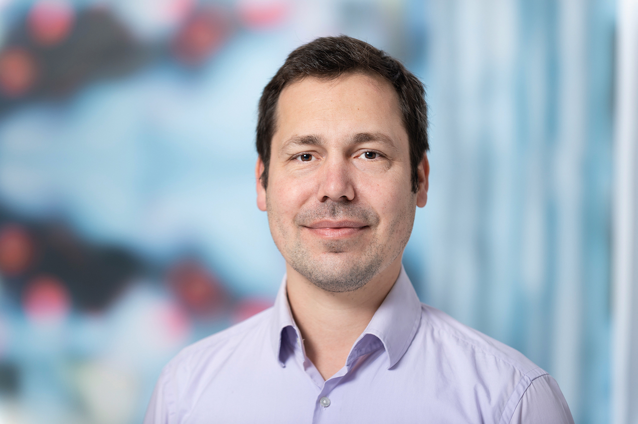
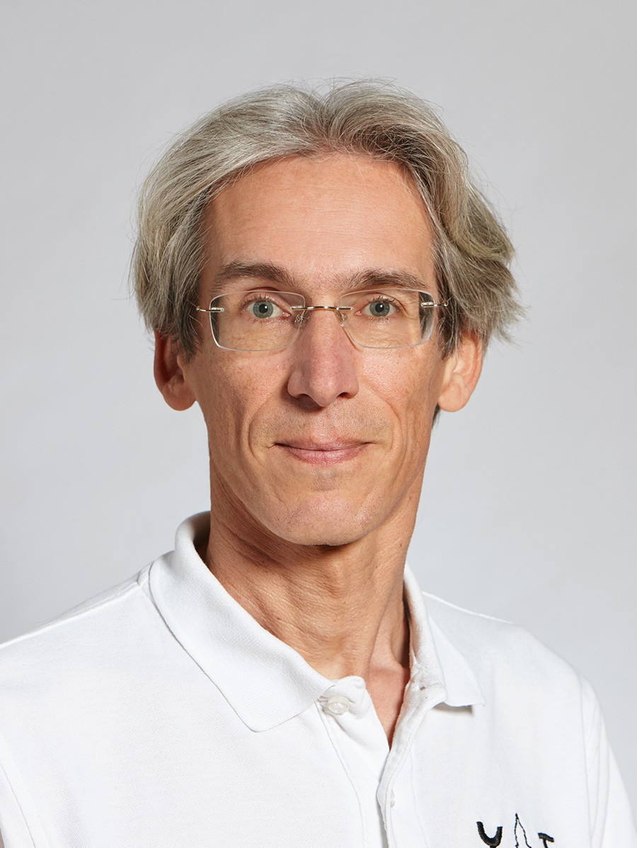
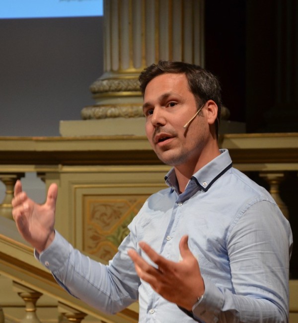
Prof. Jan Dirk Wegner holds a professorship at ETH Zürich within the Department of Civil, Environmental and Geomatic Engineering (Baug), specifically in the Institute of Geodesy and Photogrammetry. His research focuses on integrating advanced technologies such as Geospatial Computer Vision, Large-Scale Machine Learning applied to Ecology, and Deep Convolutional Neural Networks with traditional fields like Remote Sensing and Photogrammetry. His work bridges geomatics, environmental science, and computational methods to address complex spatial data challenges.
Prof. Wegner’s affiliations include ETH Zürich’s I. f. Geodäsie u. Photogrammetrie (HIL D 44.2, Stefano-Franscini-Platz 5, Zürich). While no specific grants, awards, or advised students are listed in the provided texts, his role as staff in the 'Lehre Bau, Umwelt und Geomatik' (Teaching in Construction, Environment, and Geomatics) suggests active involvement in academic instruction and curriculum development. His research emphasizes interdisciplinary applications of geospatial technologies, particularly in ecological monitoring and large-scale environmental data analysis.
Key technical areas include leveraging machine learning for ecological remote sensing, optimizing photogrammetric workflows with deep learning, and advancing geospatial data interpretation through neural networks. His work contributes to both foundational and applied aspects of geomatics, with potential implications for environmental policy, urban planning, and sustainable resource management.