معرفی
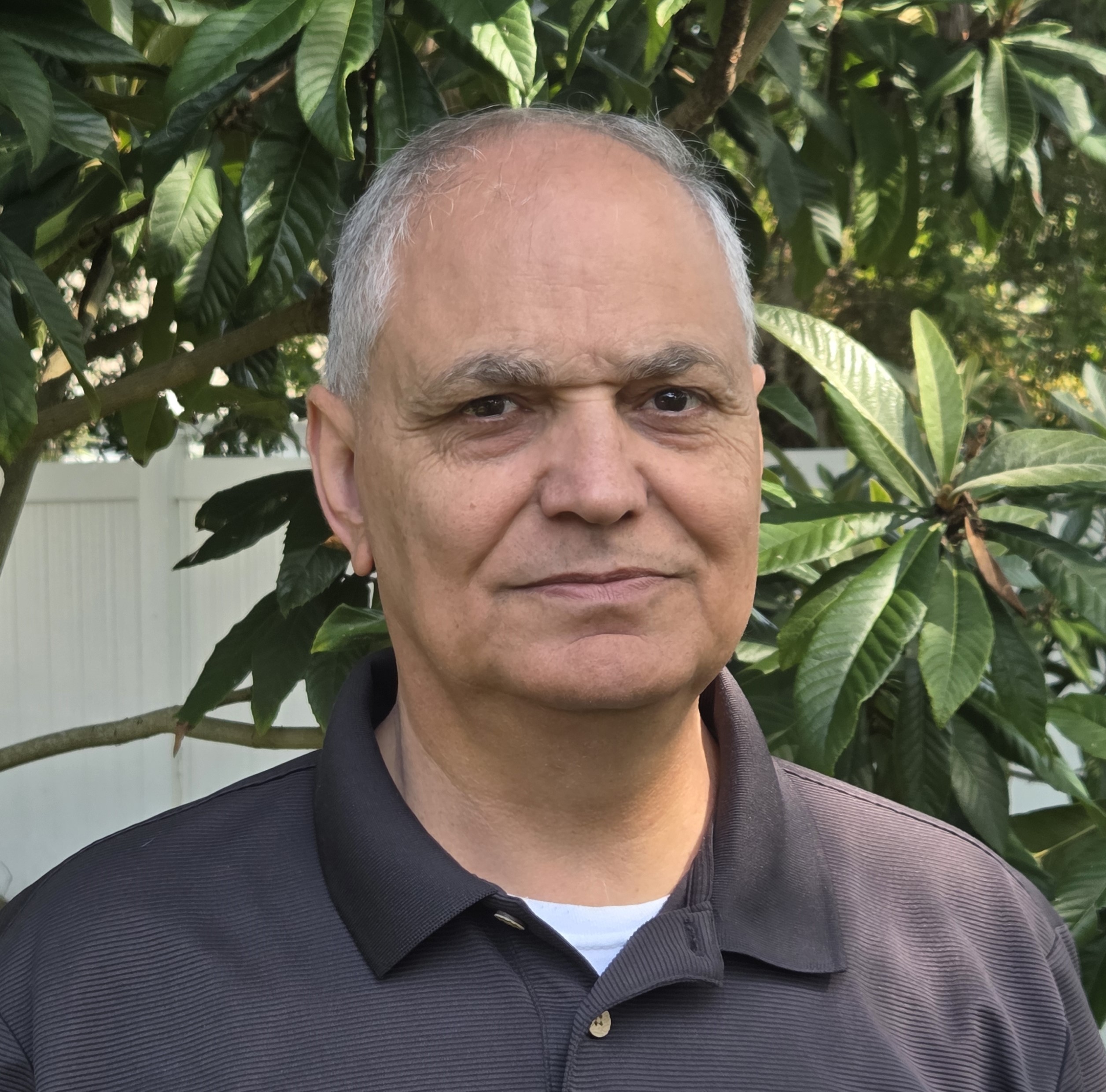
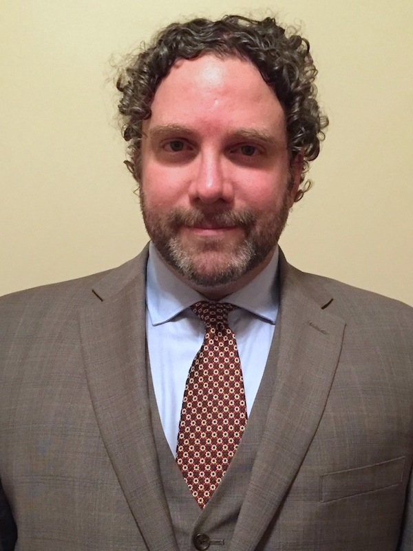
Shawn Landry is a Research Associate Professor and Director of the USF Water Institute at the University of South Florida's School of Geosciences. His research focuses on environmental equity, water resource management, and geospatial technologies, with a strong emphasis on applied projects addressing urban forests, wetlands, and land cover change. He holds a Ph.D. (2013), two M.S. degrees (2005, 1996), and a B.S. (1992) from the University of South Florida and University of New Hampshire.
Key projects include the Statewide Ecosystem Assessment of Coastal and Aquatic Resources (SEACAR) and the development of decision-support tools like the Water Atlas and Tampa Tree Map. His work integrates remote sensing, machine learning, and GIS to support policy and community engagement in coastal and urban environments. Landry is a PI on multiple NSF-funded initiatives and collaborates with state agencies and municipalities on flood mitigation, urban forest resilience, and environmental justice.
- Education:
- Ph.D., University of South Florida (2013)
- M.S., University of South Florida (2005)
- M.S., University of South Florida (1996)
- B.S., University of New Hampshire (1992)
- Key Projects:
- RAPID Collaborative Research on urban forest resilience post-Hurricane Irma
- SEACAR database for coastal resource assessment
- Orange/Seminole County Water Atlas initiatives
- GIS-based tools for urban forestry and floodplain management
His research outputs span over 50 peer-reviewed articles and technical reports, focusing on topics like urban tree canopy analysis, groundwater dynamics, and policy-driven environmental decision-making. Landry also teaches GIS 6355 (Water Resources GIS) and serves on committees for organizations including the American Association of Geographers and the Tampa Bay Estuary Program.