معرفی
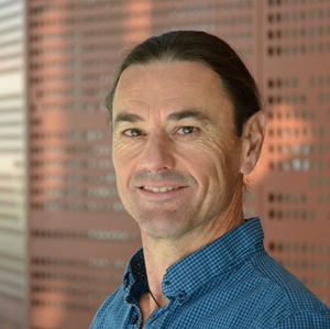
Ruopu Li is a full-time Professor in the Department of Geography and Environmental Resources at Southern Illinois University, where he directs the GeoFEW Research Lab focused on Geoinformatics for Food-Energy-Water systems. His research integrates geospatial AI, drone technology, and social data mining to address water resource management, energy geography, and rural community connectivity challenges.
Education
- Ph.D., University of Nebraska-Lincoln
- M.S., Tianjin University
- B.S., Nankai University
Research Focus
Dr. Li's research explores the intersection of geospatial technologies and environmental systems, with emphasis on: Water Resources Modeling, Food-Energy-Water Nexus, Social-Hydrological Systems, Smart Communities, and Energy Geography. His methodological toolkit includes geospatial artificial intelligence, multispectral drone analysis, social media mining, and community surveys to address complex socio-environmental challenges.
Publication Trends
Analysis of Dr. Li's recent scholarly output (2023-2025) reveals three dominant themes: 1) Advanced geospatial AI applications for hydrographic mapping and drainage classification using deep learning and high-resolution DEMs, 2) Rural technology disparities including telehealth access and smart infrastructure divides, and 3) Environmental monitoring through hyperspectral analysis of agricultural diseases and water quality management. His work frequently appears in interdisciplinary journals bridging geospatial science, environmental engineering, and social sciences.
Research Funding
- PI: $300,000 NSF EAGER grant for groundwater resilience research (2024-2026)
- PI: $1.33M NSF grant for geoscience education (2023-2027)
- PI: $278,812 NSF grant for rural smart infrastructure (2021-2023)
- Co-PI: $209,015 Illinois Soybean Association grant for nematode management
- Total secured funding exceeds $2.5 million across 9 active grants
Laboratory
Dr. Li leads the GeoFEW Research Lab, which develops computational geospatial approaches for Food-Energy-Water systems using drone-based sensors, social media analytics, and community-engaged research methodologies.