معرفی
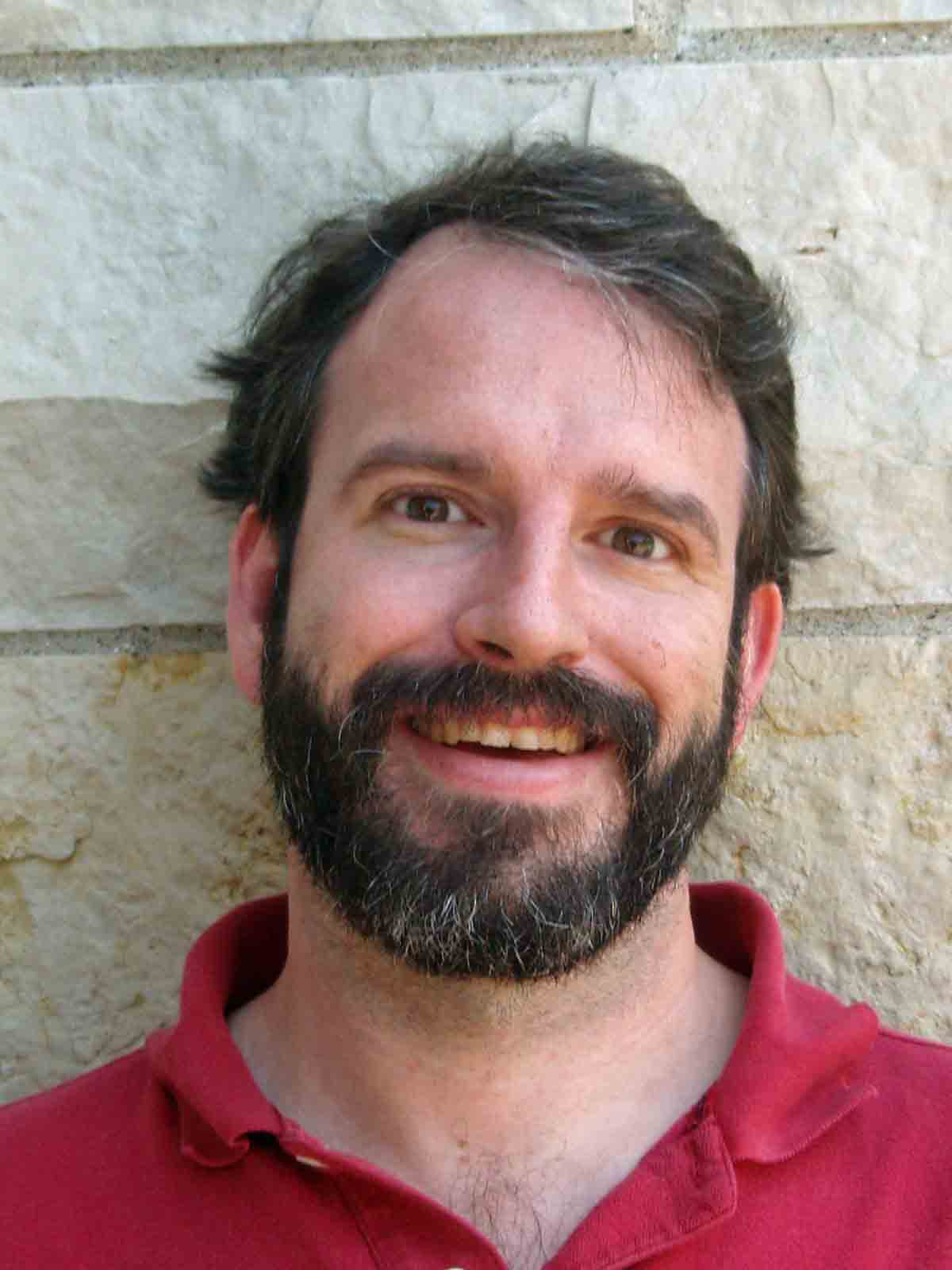
Dr. Richard Becker is a Professor in the Department of Environmental Sciences at the University of Toledo, affiliated with the College of Natural Sciences and Mathematics. He directs the Environmental Remote Sensing Lab, where he employs interdisciplinary methods including remote sensing, geochemistry, hydrologic modeling, and UAV technologies to address geological and environmental challenges.
- Education: Ph.D. (2008) from Western Michigan University, M.A. and B.A. from Washington University
- Contact: richard.becker@utoledo.edu | 419.530.4571 | Wolfe Hall, Toledo, OH
Research Focus
Dr. Becker's work spans three decades, concentrating on:
- Environmental applications of remote sensing and GIS for geohazard mapping
- Assessment of land subsidence in arid regions and coastal areas
- Monitoring toxic algal blooms in the Laurentian Great Lakes
- Hydrological impacts of engineering projects on wetland systems
- Climate change effects on groundwater resources in Africa and the Middle East
Article Trends
His recent publications (2018-2024) demonstrate a consistent focus on:
- Integration of UAV/drone technologies for high-resolution environmental monitoring
- Application of remote sensing to track climate change impacts on water systems
- Development of multi-model ensembles for watershed management
- Analysis of human-environment interactions through geospatial methods
۰مقاله منتشرشده