معرفی
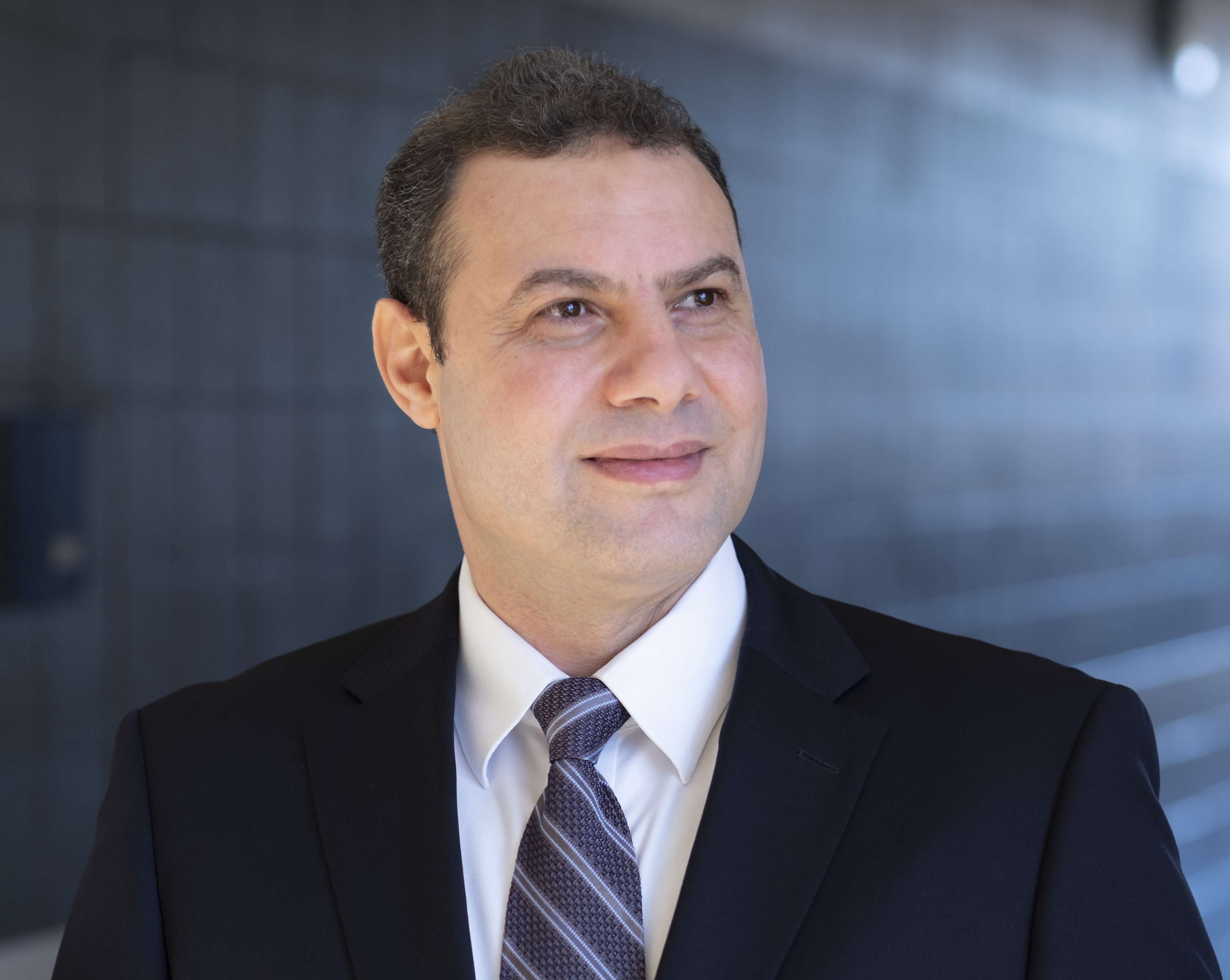
Reda Amer serves as Associate Professor in the Department of Computer Science at the University of Missouri–St. Louis (UMSL) within the College of Arts and Sciences, and directs the UMSL Geospatial Collaborative. His interdisciplinary work bridges computer science with environmental geoscience through advanced geospatial technologies.
His academic credentials include:
- Ph.D. in Geophysics, Saint Louis University (2011)
- Graduate Certificate in Advanced Remote Sensing and GIS, Saint Louis University (2011)
- MS in Remote Sensing, Al-Azhar University, Cairo, Egypt (2005)
- BS in Geology, Al-Azhar University, Cairo, Egypt (2000)
Dr. Amer's research centers on Remote Sensing, Geographic Information Science, and Climate Change adaptation, with emphasis on community resilience in vulnerable coastal regions. He develops computational methods for environmental monitoring, particularly using LiDAR and satellite data to model subsidence, flood risks, and land degradation. His work integrates machine learning with geospatial analysis to address pressing challenges in deltaic systems and arid environments.
Analysis of his 2019-2025 publications reveals strong focus on Gulf Coast subsidence monitoring through LiDAR/InSAR fusion, expanding into machine learning-driven flood mapping and port resilience. His research spans environmental geoscience, disaster response, and sustainable resource management across coastal Louisiana, Texas, and arid regions including Egypt and the Arabian Shield.
No scientific awards were documented in the provided materials.
Information regarding student advising and research grants was not included in the source documentation.
As Director of the UMSL Geospatial Collaborative, Dr. Amer leads interdisciplinary teams advancing geospatial research applications for environmental challenges, fostering partnerships across computer science, earth sciences, and civil engineering disciplines.