معرفی
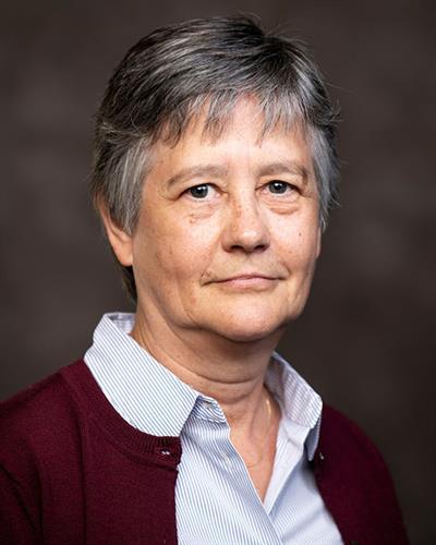
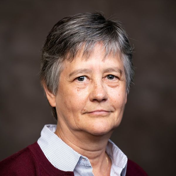
Magaly Koch is a Research Associate Professor at Boston University’s Center for Remote Sensing. Her work focuses on applying remote sensing and GIS technologies to study groundwater resources, environmental change in arid regions, and disaster response. She holds a Ph.D. in Geology from Boston University (1993), an M.Sc. in Geology from the University of Cologne (1986), and a Diploma in Groundwater Hydrology from the Polytechnic University of Catalonia (1987).
Her research integrates interdisciplinary approaches to address global challenges like water scarcity, flooding from extreme weather, and coastal zone vulnerability. Notable projects include analyzing post-disaster impacts (e.g., Sulawesi earthquake, Türkiye-Syria earthquake) using satellite imagery and developing flood mapping systems for arid and snow-covered terrains. She also explores climate-driven changes in Indonesia’s ecosystems and the socio-economic consequences of recurrent flooding in Central Java. Koch’s methodologies include deep learning frameworks for damage detection, transfer learning for landslide mapping, and geospatial modeling for policy-relevant insights.
Her recent work emphasizes bridging science and policy, exemplified by studies linking environmental data to public health outcomes (e.g., asthma hospitalizations) and food security. She collaborates on projects in Antarctica (ice-free landform mapping), Egypt (groundwater potential assessment), and the Philippines (tsunami damage analysis). Her contributions span environmental monitoring, disaster risk reduction, and sustainable resource management, leveraging advanced remote sensing techniques and big data analytics.