معرفی
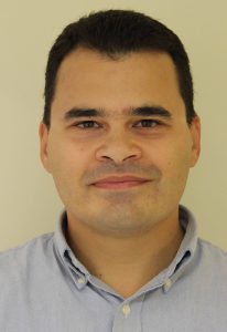
Dr. Pete Bunting is a Reader in Remote Sensing at Aberystwyth University's Department of Geography and Earth Sciences. His research focuses on computational processing of spatial data for land surface mapping, including mangrove ecosystems and wetland dynamics. He leads the Global Mangrove Watch initiative, developing automated techniques for satellite-based environmental monitoring.
He created the open-source Remote Sensing and GIS software library (RSGISLib), supporting global mangrove extent mapping and change detection. Awards include Remote Sensing Journal's Best Paper Award. His work informs international conservation policies through collaborations with Wetlands International and the European Space Agency.
۰مقاله ثبتشده