معرفی
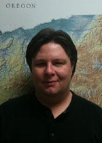
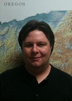
Dr. Patrice Carbonneau is an Associate Professor in the Department of Geography at Durham University. With a background in physics and engineering, he specializes in fluvial geomorphology and remote sensing, having developed pioneering methods for salmonid habitat characterization and UAV-based topographic mapping. His research spans diverse environments from the Atacama Desert to Svalbard.
- Université de Sherbrooke (Physics BSc)
- Université Laval (Engineering BSc)
- INRS-ETE (MSc and PhD in Fluvial Geomorphology)
His research interests focus on digital image processing, UAV photogrammetry, and fluvial ecology. Recent work integrates attention-based deep learning with PlanetScope satellite data for river water masking and global sediment bar mapping. He has pioneered robotic photosieving using low-cost UAVs and advanced structure-from-motion (SfM) methodologies for fluvial analysis.
Publications highlight his expertise in multiscale remote sensing, from Martian glacial features to anthropocene river systems. Key contributions include texture-based segmentation for sand quantification in salmonid habitats and automated grain size measurements from airborne imagery. His current decade-long objective involves data-driven Ganges River basin restoration using global-scale remote sensing.
- Editor of Fluvial Remote Sensing for Science and Management (2012)
- Developed Geosalar method for riverscape habitat mapping
- Conducted UAV campaigns in UK, Swiss Alps, Atacama Desert, and Svalbard