معرفی
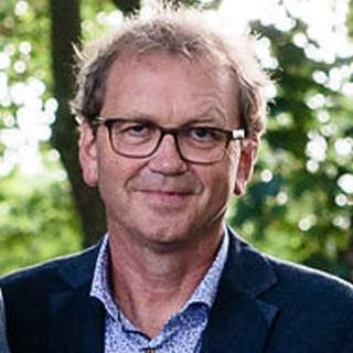
Norman Kerle is a Professor at the Faculty of Geo-Information Science and Earth Observation (ITC) of the University of Twente, holding the chair of Geoinformatics for Disaster Risk Management within the Earth Systems Analysis department. He earned Masters degrees in geography from the University of Hamburg and Ohio State University, and a PhD in volcano remote sensing from the University of Cambridge (2002).
His research spans volcanology, landslide detection, and quantitative geomorphology, with a focus on object-oriented remote sensing methods for disaster risk management. He leads the ITC Object-Based Image Analysis research group and coordinates EU-funded projects like RECONASS and INACHUS, emphasizing UAV-based structural damage mapping. Recent work includes post-disaster recovery assessment using remote sensing and macro-economic modeling.
His scientific contributions include over 221 research outputs (peer-reviewed articles, book chapters, conference papers) and datasets such as Evaluating Resilience-Centered Development Interventions with Remote Sensing (2020). He has received the 2011 Lloyd's Science of Risk Prize (Natural Hazards) and served as Associate Editor for journals like Remote Sensing and Natural Hazards and Earth Systems Sciences.
Prof. Kerle’s professional affiliations include the European Geosciences Union (EGU), American Geophysical Union (AGU), International Society for Photogrammetry and Remote Sensing (ISPRS), and Remote Sensing and Photogrammetry Society (RSPS). He has examined PhD theses and reviewed proposals for Horizon 2020, STEREO, and UNESCO.