معرفی
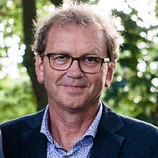
Bart Krol is a Lecturer in natural hazard studies at the Faculty of Geo-Information Science and Earth Observation (ITC), University of Twente, specializing in Earth Systems Analysis. With an MSc in Earth and Environment from Wageningen University, his expertise spans remote sensing, digital terrain analysis, and disaster risk reduction.
- Education:
- MSc in Earth and Environment, Wageningen University
His research focuses on leveraging geo-information and open-source tools to address environmental and climate-related challenges in data-scarce regions. He works closely with rural communities, small towns, and NGOs to improve disaster risk assessment and planning. Key areas include natural hazard modeling (floods, landslides), spatial data quality, and ecosystem-based approaches to risk management.
While his publications highlight interdisciplinary applications of GIS in soil mapping, flood hazards, and cultural heritage preservation, his work also aligns with UN Sustainable Development Goals, particularly those related to climate resilience and sustainable communities.