معرفی
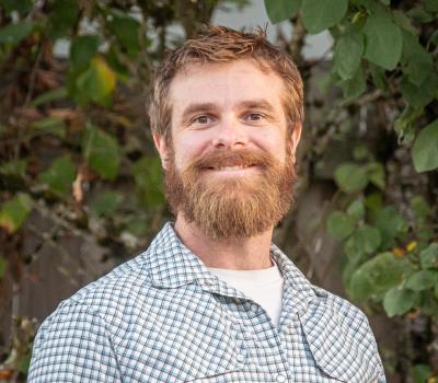
Michael Wing is an Associate Professor in Forest Engineering, Resources & Management at Oregon State University's College of Forestry. He holds professional licensure as a Professional Engineer, Land Surveyor, and Water Right Examiner in Oregon.
Research focuses on geospatial technologies including:
- Airborne and terrestrial LiDAR applications
- Unmanned aerial systems for forestry
- Spatial decision support systems
- Precision forestry techniques
He co-directs the Environmental Remote Sensing Applications Laboratory (ERSAL), developing methods for forest fire impact quantification, road sediment reduction, and riparian zone assessment. Teaching includes GIS applications, forest geomatics, and spatial analysis.
۰مقاله منتشرشده