معرفی
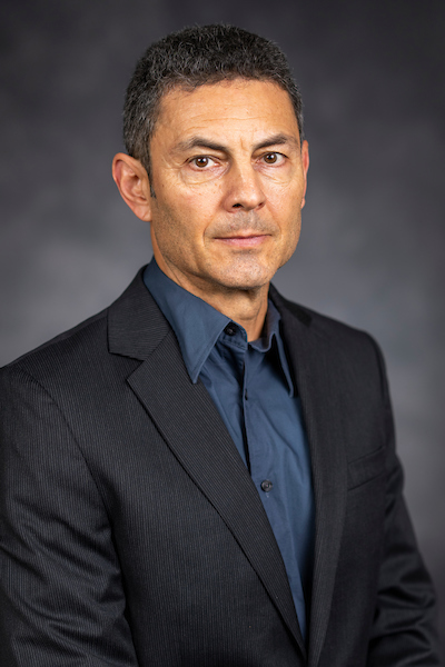
Jan van Aardt is a Professor and Director of the Chester F. Carlson Center for Imaging Science at the Rochester Institute of Technology (RIT), within the College of Science. His research focuses on remote sensing, imaging spectroscopy, lidar, and unmanned aerial systems (UAS) for environmental and agricultural applications.
- BSc, Forestry, University of Stellenbosch, South Africa
- Hons., Forestry (Remote Sensing & GIS), University of Stellenbosch, South Africa
- MS, Forestry, Virginia Polytechnic Institute and State University
- PhD, Forestry, Virginia Polytechnic Institute and State University
Dr. van Aardt's research centers on the application of hyperspectral, lidar, and multi-temporal remote sensing in forestry and ecosystem monitoring. His work includes forest structural assessment, vegetation physiology, foliar chemistry estimation, and precision agriculture. He actively uses UAS-based sensing for crop yield prediction, nutrient status assessment, and growth stage classification, particularly in snap beans and table beets.
His recent publications demonstrate a strong trend in applying UAS-based hyperspectral and lidar data for precision agriculture, with a focus on crop yield modeling, leaf area index estimation, and structural characterization of crops. The integration of multispectral and LiDAR data for biomass and vegetation structure analysis is a recurring theme, especially in forestry and savanna ecosystems.
Scientific honors include membership in multiple Technical Working Groups for the National Ecological Observatory Network (NEON) from 2017 to 2021, focusing on airborne sampling design and lidar applications.
Dr. van Aardt advises numerous graduate and undergraduate students, and has secured research funding for projects involving geospatial disaster response, forest carbon modeling, and crop health monitoring. He teaches courses in environmental applications of remote sensing, imaging science senior projects, and graduate research.
He leads research efforts involving advanced imaging systems and has co-designed drone imaging systems for assessing grape farm health. His lab works with terrestrial and airborne lidar, hyperspectral sensors, and simulation models for scaling photosynthesis and vegetation structure.