معرفی
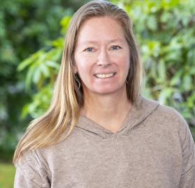
Mary Henry is an Associate Professor in the Department of Geography at Miami University, affiliated with the Geospatial Analysis Center. She holds a B.A. in Geography & Environmental Studies from the University of California, Santa Barbara (1992), an M.A. in Geography from San Diego State University (1996), and a Ph.D. in Geography from the University of Arizona (2002). Her research focuses on remote sensing applications, GIS techniques, and landscape ecology, with a particular emphasis on environmental monitoring, wildfire patterns, and invasive species dynamics.
Dr. Henry’s work involves satellite and multispectral data analysis to study land-use changes, fire history reconstruction, and vegetation dynamics. She has contributed to studies of burn scars in Kenya, American beech distribution in Ohio, and the impact of agricultural expansion on Midwestern ecosystems. Her methods often integrate optical and microwave remote sensing with GIS modeling to address ecological and conservation challenges.
Her publications highlight advancements in detecting invasive shrubs using remote sensing, modeling dissolved organic carbon in alpine lakes, and analyzing wildfire occurrence in diverse landscapes. She has mentored graduate students who have authored or co-authored several of her papers, particularly in fire ecology and GIS applications.
Mary Henry has no explicitly listed scientific awards but has maintained a prolific publication record since the late 1990s, demonstrating sustained contributions to geospatial science and environmental research. Her teaching includes courses on physical environments, natural hazards, landscape ecology, and remote sensing techniques.