معرفی
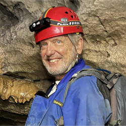
John Maingi is an Associate Professor at Miami University's Department of Geography, affiliated with the Center for Aquatic and Watershed Sciences, Geospatial Analysis Center, and Institute for the Environment and Sustainability. His expertise spans remote sensing, GIS, ecology of wooded ecosystems, and surface hydrology. He holds a B.S. in Forestry from Moi University (1987), M.S. in Renewable Natural Resources from the University of Arizona (1992), and Ph.D. in Arid Lands Studies (1998).
Research focuses on integrating remote sensing and GIS for environmental monitoring, wildfire analysis, biodiversity conservation, and human-environment interactions. Notable projects include burn scar mapping in Kenya, elephant poaching patterns, and ecological studies in afromontane forests. His work bridges geospatial technologies with socioecological systems in Africa and the U.S.
Publications emphasize African ecosystems, wildfire dynamics, and GIS applications. He teaches courses like Geographic Information Systems, Remote Sensing Techniques, and Global Change Studies. Active in interdisciplinary research, he collaborates with institutions globally on environmental sustainability challenges.