معرفی
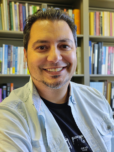
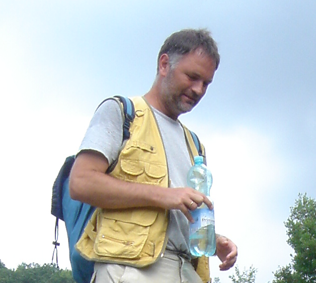
Dr. Martijn van Leusen is an Associate Professor and Researcher in Landscape Archaeology and GIS at the University of Groningen's Faculty of Arts. He specializes in integrating Geographical Information Systems (GIS) with archaeological methodologies to study Mediterranean landscapes, particularly in Italy. His roles include Program Manager for Archaeology programs (2021-23) and Convenor of the International Mediterranean Survey Workshops since 2000. His research focuses on field survey methodologies, volcanic impact studies, and geoarchaeological processes in upland and coastal regions. Key projects include the Avellino Event Project (studying volcanic effects on pre-industrial societies) and the Raganello Basin Studies (investigating slope dynamics and settlement patterns). He has developed guidelines for archaeological documentation (FIDO) and contributed to ontology standards for survey data (CRMsurv). His work emphasizes interdisciplinary collaboration, combining earth sciences, GIS, and archaeology to enhance understanding of human-environment interactions. Recent publications address low-density assemblages, subsidence impacts on archaeological records, and digital data integration for Mediterranean surveys.
Research interests span spatial modeling, biases in field surveys, and protohistoric land use in southern Italy. He has led excavations and surveys in regions like Calabria and Lazio, reconstructing ancient landscapes through geomorphological and geochemical analyses. His contributions to archaeological theory include critiques of predictive modeling and advocacy for FAIR data practices in heritage management.