
معرفی
Dr. Kithsiri Perera is a Lecturer in Surveying and Spatial Science at the University of Southern Queensland's School of Surveying and Built Environment. He holds an MEng and PhD from Chiba University. His research focuses on remote sensing, GIS applications, environmental management, and disaster mitigation, with a particular emphasis on land use analysis and spatial data science. Dr. Perera has contributed extensively to understanding human-elephant conflict dynamics in Sri Lanka using satellite imagery, flood mapping with SAR data, and bushfire warning systems leveraging social media. His work bridges geospatial technologies with real-world environmental and societal challenges.
Education:
- MEng, Chiba University
- PhD, Chiba University
Research Interests:
- Remote sensing and GIS for environmental monitoring
- Disaster risk reduction and mitigation
- Land cover/land use change analysis
- Wildlife conservation strategies
- Sustainable infrastructure planning in developing countries
Recent Article Trends: His recent work emphasizes integrating satellite data (e.g., Sentinel-2, MODIS) with GIS for conflict mitigation, flood modeling, and climate change impacts. He also explores geospatial education for civil engineers and digital health record systems in Sri Lanka.
Awards: No scientific awards explicitly mentioned.
Grants & Advising: No grants or advising details provided in the text. His contributions are primarily through research publications.
Kithsiri Perera در سایتهای دیگر
جستوجوهای مرتبط
شاید اینها هم برایتان مناسب باشند
- KKithsiri PereraUniversity of Southern Queensland · مدرس
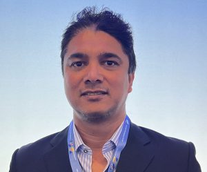 Srimal SamansiriUniversity of Salford · پژوهشگر ارشد
 Egli MichailidouThe Cyprus Institute · پژوهشگر
 Indishe SenanayakeUniversity of Newcastle Australia (UON) · پژوهشگر
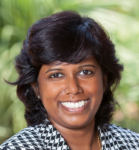 Muditha HeenkendaLakehead University · دانشیار
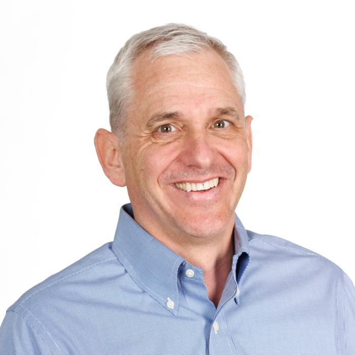 Ryan EngstromGeorge Washington University · استاد