
معرفی
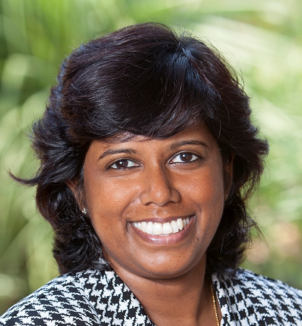
Dr. Muditha Heenkenda is an Associate Professor in the Department of Geography & The Environment at Lakehead University, Canada, with expertise in remote sensing, GIS, and geostatistics. Holding a PhD in GIS and Remote Sensing from Charles Darwin University, Australia, and an MSc in Geo-information Science from Wageningen University, Netherlands, he focuses on natural resource management through geospatial technologies.
- PhD (GIS and Remote Sensing) - Charles Darwin University, Australia
- MSc (Geo-information Science) - Wageningen University, The Netherlands
- Higher Diploma (Surveying) - Institute of Surveying and Mapping, Sri Lanka
- BSc (Mathematics & Physics) - University of Peradeniya, Sri Lanka
His research explores remote sensing applications in forestry and agriculture, including wildfire mapping, precision farming, and machine learning techniques for image analysis. Recent work involves UAV-based forest inventory, sugarcane nutrient monitoring, and integrating LiDAR with multispectral imagery.
Dr. Heenkenda contributes to the Lakehead Applied Geomatics Research Lab, advancing practical geospatial solutions for natural resource challenges. Though no scientific awards are listed, his interdisciplinary approach bridges geomatics with agricultural and environmental decision-making.
Muditha Heenkenda در سایتهای دیگر
جستوجوهای مرتبط
شاید اینها هم برایتان مناسب باشند
- RRanjani KulawardhanaAlabama A&M University · دانشیار
 Qi ChenUniversity of Hawaiʻi at Mānoa · استاد
 Sytze de BruinWageningen University & Research · دانشیار
- KKithsiri PereraUniversity of Southern Queensland · مدرس
 Stefan PetersUniversity of South Australia · مدرس ارشد
 Sharareh AkbarianUniversity of New South Wales · عضو هیئت علمی