معرفی
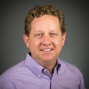
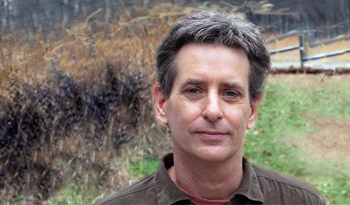
James M. Dyer is a Professor in the Department of Geography at Ohio University's College of Arts and Sciences, where he conducts research in biogeography, landscape ecology, and forest dynamics. His work focuses on eastern North American forests, integrating field studies, GIS, and spatial modeling to understand vegetation responses to climate change, historical land use, and invasive species.
- Ph.D., University of Georgia, 1992
Dr. Dyer's research centers on the interactions between physical environments, biotic processes, and disturbances in forest ecosystems. He investigates vegetation-site relationships using water balance modeling, explores long-term forest compositional changes in southeastern Ohio, and leads baseline monitoring of hemlock forests threatened by the Hemlock Woolly Adelgid. His work combines witness tree records, historic aerial photos, and modern field sampling to reconstruct ecological change over centuries. He emphasizes the role of humans in altering natural landscapes and the implications for biodiversity.
His recent publications reveal a strong focus on fine-scale vegetation patterns, forest response to climate and land use, and the ecological significance of foundation species like hemlock. Using tools such as LiDAR-derived DEMs and GIS water balance models, his research bridges remote sensing, ecology, and biogeography to address pressing environmental challenges.
Dr. Dyer has advised numerous graduate and honors students on diverse topics including urban flora, forest succession, stream health, and invasive species management. His students have conducted research on hemlock ecosystems, mined landscapes, and freshwater mussel distributions, often combining field ecology with GIS and spatial analysis.
He teaches a range of courses including Physical Geography, Biogeography, Landscape Ecology, Geographic Field Methods, and the Capstone Experience in Geography. He also leads the Seminar in Biogeography at the graduate level.
Dr. Dyer maintains extensive research resources, including the Water Balance Toolbox for ArcGIS, revised maps of Braun's forest regions, historic land use maps for the eastern U.S., and detailed datasets for Ohio University's Ridges Land Lab, which supports long-term ecological research and education.
حوزههای پژوهشی