معرفی
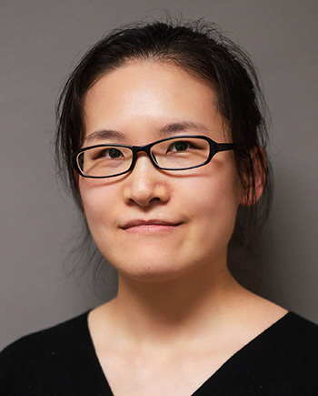
Fanghui Deng is a Researcher in the Department of Civil and Environmental Engineering at the University of Houston. She specializes in using satellite and ground-based geodetic data to analyze Earth's surface and subsurface changes, focusing on coastal regions, oil and gas fields, volcanoes, and earthquakes.
- Education: Ph.D. in Geology (University of South Florida, 2020), M.E. in Photogrammetry and Remote Sensing (Wuhan University, 2015), B.E. in Remote Sensing Science and Technology (Wuhan University, 2012)
Research Interests
Deng’s work integrates geodetic techniques like InSAR and LiDAR to assess natural and anthropogenic hazards. Key areas include:
- Volcanic and tectonic deformation
- Fluid injection and extraction impacts
- Seafloor monitoring via offshore platforms
- DEM generation for hazard modeling
- Post-seismic deformation analysis
- Glacial dynamics in polar regions
Scientific Awards
Deng has received:
- NASA Earth and Space Science Fellowship (NESSF), 2017-2020
- Richard A. Davis Endowed Fellowship, University of South Florida, 2020
Advising and Collaborations
While no direct students are listed, Deng collaborates on projects involving volcano hazard assessment, earthquake dynamics, and glacial monitoring. Her work often involves field studies and student training opportunities.
۰مقاله منتشرشده