معرفی
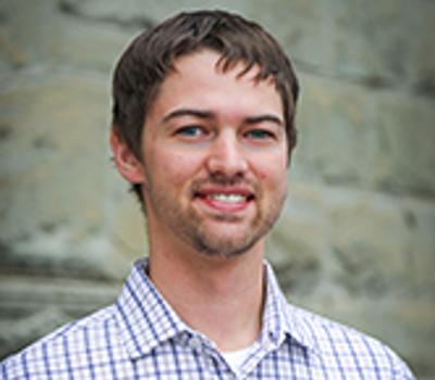
Chase Simpson is an Assistant Professor of Practice and Jim and Billie Plasker Faculty Scholar in Geomatics at Oregon State University's College of Engineering, Civil and Construction Engineering Department. His work focuses on geospatial technologies including Unmanned Aerial Systems (UAS), lidar, and photogrammetry for infrastructure, environmental, and disaster applications. He specializes in integrating geomatics disciplines like physics, computer science, and geography to solve real-world challenges.
Research interests include UAS-based surveying, GNSS positioning accuracy, and shoreline mapping. He has contributed to projects like the Tumwata Village 3D point cloud analysis and post-disaster survey methods in the US Virgin Islands. His educational efforts involve developing UAS training modules and QA/QC procedures for geospatial data sharing.
Key focus areas span pavement smoothness measurement, marine debris surveys, and automated GNSS network corrections for disaster recovery. Simpson collaborates with industry, government, and academic stakeholders to advance geomatics applications in civil engineering contexts.
His Geomatics Research Group explores cutting-edge technologies like polarimetric imaging and machine learning integration with geospatial data. Current initiatives include national real-time network alignment services and improving survey standards for infrastructure management.