
معرفی
Attila Juhász serves as an Associate Professor within the Department of Photogrammetry and Geoinformatics at the Faculty of Civil Engineering, Budapest University of Technology and Economics (BME). His academic responsibilities include teaching courses such as Digital Surface Modeling, Geospatial Information, Civil Engineering Informatics, and Monitoring and GIS, alongside supervising thesis work through course BMEEOFTTATZ. He maintains active research in geospatial technologies with emphasis on historical applications.
His research program centers on applying geospatial information systems and remote sensing to reconstruct historical military operations, particularly World War II events. He develops methodologies for bomb crater detection, fortification mapping, and battlefield analysis using LiDAR and multi-temporal GIS. A significant contribution involves solving temporal data management challenges in historical reconstructions, enabling accurate modeling of evolving military landscapes. His work bridges technical geospatial innovation with humanities scholarship in archaeology and military history.
Analysis of his publication record reveals consistent specialization in automated detection of World War II artifacts through LiDAR and spatial data fusion. His research demonstrates progressive technical sophistication from early 2000s case studies to current AI-enhanced object recognition systems. The work establishes critical frameworks for conflict archaeology and has produced notable reconstructions including Budapest defense lines and the Attila-line fortifications.
No scientific awards or major fellowships are documented in the available sources.
Dr. Juhász supervises thesis research as evidenced by course BMEEOFTTATZ, but specific student names and research grant details remain unreported in the source material. His teaching portfolio indicates extensive mentorship across undergraduate and graduate geospatial curricula.
He maintains operational affiliation with the Endre Németh Measurement Station and Education Center, which provides critical infrastructure for geospatial data collection, LiDAR processing, and field-based historical reconstruction projects. This facility supports both his research initiatives and practical student training in advanced surveying techniques.
Attila Juhász در سایتهای دیگر
جستوجوهای مرتبط
شاید اینها هم برایتان مناسب باشند
- JJUHÁSZ AttilaBudapest University of Technology and Economics · دانشیار
- JJuhász János AttilaBudapest University of Technology and Economics · دانشیار
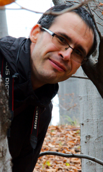 Balázs JuhászEötvös Loránd University · دانشیار
- TTony J PollardUniversity of Glasgow · استاد
 József LaszlovszkyCentral European University · استاد
 Iain B BanksUniversity of Glasgow · مدرس ارشد