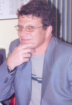
Jun Zhu is a professor at the Faculty of Geosciences and Environmental Engineering, Southwest Jiaotong University, Chengdu, China. His research is centered on geospatial digital twins, virtual geographic environments, and intelligent visualization for disaster risk management, with strong interdisciplinary work in AI, remote sensing, and VR-based simulation. His research interests include: Geospatial Digital Twins Virtual Geographic Environments AI for Remote Sensing 3D and VR-based Disaster Visualization Knowledge Graphs in GIS Public Risk Communication The recent articles (2023–2025) demonstrate a strong trend in integrating large language models, knowledge graphs, and deep learning with geospatial data to build intelligent, interactive, and immersive systems for infrastructure monitoring, disaster simulation, and public engagement. His work emphasizes data-knowledge fusion, human-centered visualization, and real-world applicability in urban and environmental contexts. Scientific Awards: No awards listed in the provided text. Advising and Grants: While Jun Zhu has extensive collaboration with researchers such as Weilian Li, Qing Zhu, Yakun Xie, and Jianbo Lai, and appears to lead research projects, there is no explicit mention of student advising, grant funding, or project titles in the provided data. Labs and Teams: Jun Zhu is likely part of a research group focused on digital twins and geospatial AI at Southwest Jiaotong University, collaborating closely with colleagues in geoinformatics and remote sensing, though specific lab names are not mentioned.
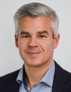
Prof. Dr.-Ing. Boris Resnik is a full professor at Berlin University of Technology (BHT Berlin) in the Department of Civil Engineering and Geoinformation. Born in 1960 in Leningrad, he holds a diploma in Geodesy from the Leningrad Mining Institute (1982) and a doctorate from VNIMI (1990). His academic career spans over two decades at BHT Berlin, with prior positions at Rostock University and Brandenburg Technical University Cottbus. His research focuses on: Geodetic monitoring and deformation analysis Structural health assessment of wind turbine foundations AI and neural network applications in structural monitoring Sensor technologies (MEMS, accelerometers, inclinometers) Automated early warning systems for infrastructure He leads significant projects including the IFAF-funded WEsaFE (2014-2016) on wind turbine foundation monitoring and the DAAD Eastern Partnerships initiative (2018-2023) with Central Asian universities. Publication analysis shows a strong evolution toward AI-driven methodologies since 2019, with recent works focusing on neural networks for real-time structural monitoring, vehicle classification, and vibration analysis. His 2023-2025 publications demonstrate increasing integration of drone-based thermography and advanced sensor networks. No scientific awards are documented in the provided materials. Contact is maintained through resnik@bht-berlin.de, with office at Building D (Civil Engineering) Room D 422.
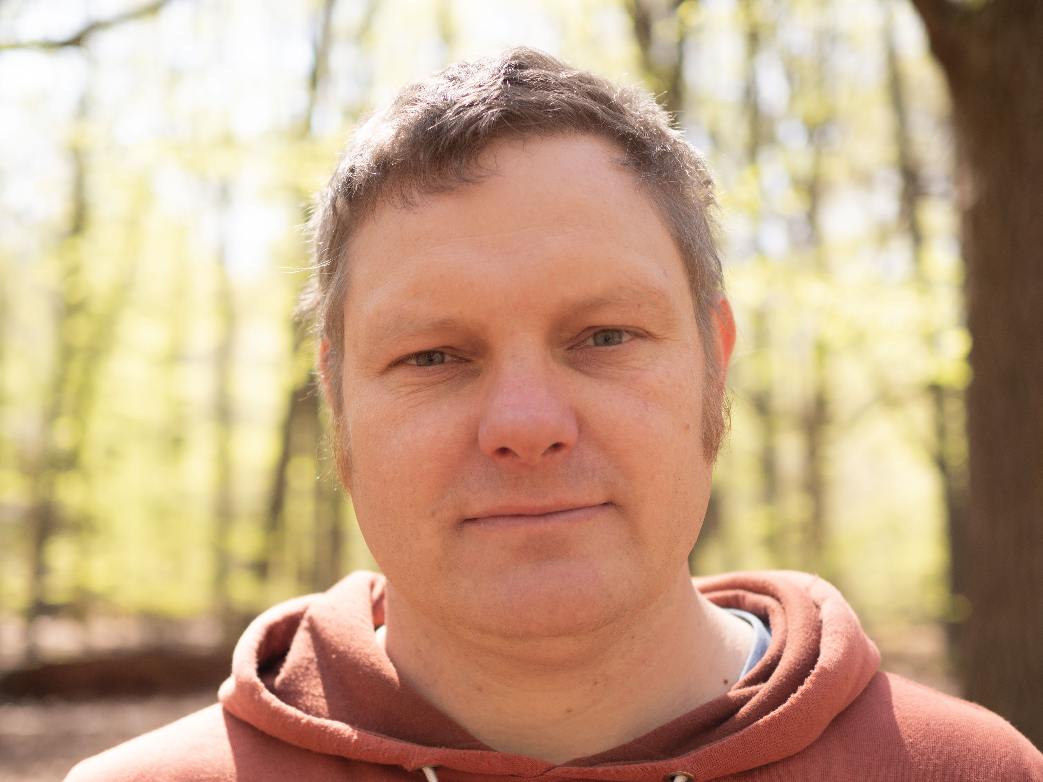
Nathalie Triches is a doctoral researcher at the Max Planck Institute for Biogeochemistry , affiliated with the Biogeochemical Signals (BSI) Department and the Integrating surface-atmosphere Exchange Processes Across Scales - Modeling and Monitoring (IPAS) research group . She is a PhD student in the International Max Planck Research School for Global Biogeochemical Cycles (IMPRS-gBGC) , focusing on greenhouse gas flux measurements in Arctic ecosystems. 2019-2021: MSc in International Masters of Soils and Global Change (Gent, Aarhus, and BOKU Vienna) 2013-2017: BSc in Forest Sciences (Bern University of Applied Sciences) Her research explores spatial and temporal patterns of N2O, CH4, and CO2 fluxes in Arctic microhabitats, emphasizing disturbances from global warming. She uses dark and transparent chamber measurements , UAV-based monitoring , and eddy covariance flux towers (e.g., at Stordalen Mire, Sweden). Collaborations include the University of Eastern Finland , University of New Hampshire , and University of Helsinki . Her publications address N2O emissions in nutrient-poor ecosystems , UAV-flux coupling methodologies , and permafrost carbon-nitrogen interactions . She collaborates on projects like N-PERM (Finland) and EMERGE (USA) to analyze microbial drivers of Arctic greenhouse gas budgets. She works with the Biogeochemical Signals Team and ICOS eddy covariance flux tower in Sweden, combining field data with modeling to improve understanding of Arctic GHG fluxes.
Prof. Dr. Bernhard Höfle is a Professor of Geoinformatics and 3D Geospatial Data Processing at the University of Heidelberg, where he leads the 3DGeo Research Group. His work focuses on computational methods for analyzing 3D/4D point clouds, with applications in environmental monitoring, natural hazard assessment, and vegetation studies. Research Interests: 3D/4D point cloud analysis for environmental observation Development of computational algorithms for geospatial data Integration of machine learning in remote sensing applications Virtual laser scanning simulations (VLS-4D) Real-time monitoring systems for critical infrastructure Digital Twin integration across scales Article Trends: His recent publications emphasize real-time 3D environmental monitoring, virtual simulation of dynamic scenes, multi-temporal analysis of natural processes, and machine learning applications for point cloud classification. They span from 2025 back to 2023 and cover diverse applications including rock glaciers, forest monitoring, building damage assessment, and bee activity tracking. Key Techniques: His work prominently features terrestrial laser scanning, UAV-based LiDAR, and open-source software development. He has contributed datasets like FOR-species20K and developed simulation frameworks such as HELIOS++.
Rajendra Akerkar is a Professor and coordinator of the Big Data and Emerging Technologies subgroup at the Western Norway Research Institute. With over 30 years in academia across Asia, Europe, and North America, he specializes in combining theoretical AI research with practical applications for societal benefit. Research Focus: Artificial Intelligence for crisis management (resilient communities, situational awareness) Social cybersecurity (hate speech prevention, misinformation) Urban transport systems optimization Energy analytics through data-driven approaches Semantic technologies and intelligent information systems Scientific Awards: DAAD Exchange Fellowship BOYSCASTS Young Scientist Award Leadership & Publications: Associate Editor for International Journal of Metadata, Semantics and Ontologies and Editor for Web Intelligence . Published 16 monographs, 154 scientific articles, and coordinated international networks like ISO15926 Semantic Web Technologies Network.
Adnan Akhunzada is a prolific researcher with extensive contributions to computer science, particularly in artificial intelligence, cybersecurity, and internet of things. His work spans deep learning architectures, software defined networks, and security frameworks for emerging technologies. Research Interests include: Deep learning for micro-expression and image analysis Quantum control systems with reinforcement learning AI-based phishing and malware detection Federated learning for drone services Cryptographic protocols for UAV communications Publication Trends show expertise in: Hybrid neural network architectures Cybersecurity for industrial IoT Privacy-preserving crowdsourcing Sign language recognition datasets 5G-assisted cognitive communication
Florian Noichl is a Group Lead in Spatial Computing at the Chair of Computing in Civil and Building Engineering at the Technical University of Munich . His work focuses on methods for creating digital twins of industrial environments, particularly car manufacturing plants, and includes collaborative projects with Siemens . He was a Visiting Researcher at the Department of Geomatics Engineering at the University of Calgary, Canada (May–August 2023). Research interests include Spatial computing Digital twinning Point cloud processing Artificial intelligence in construction Scan planning optimization GeoAI for retrofitting Recent publications emphasize automation in point cloud segmentation, material passport creation for steel structures, semantic facade analysis, and energy efficiency estimation using vision-language models. His work often integrates BIM with laser scanning and AI . Teaching includes Bau- und Umweltinformatik 1 (WS22/23, WS23/24) and Softwarelab . He supervises theses on topics like UAV mission planning Point cloud enrichment Image-based localization CAD model matching BIM design reviews Review activities cover journals such as Automation in Construction , IEEE Sensors Journal , and Remote Sensing . He is listed on OrcID : 0000-0001-6553-9806 Google Scholar ResearchGate Labs associated with include the BIM-Lab and Robotic Fabrication Lab . His work intersects digital construction with industrial AI applications.
Prof. Dr.-Ing. Klaus Kefferpütz serves as Professor at Ingolstadt University of Applied Sciences (THI) since 2022 within Faculty E, specializing in autonomous cooperative systems. He maintains dual research affiliations with the Fraunhofer Application Center 'Connected Mobility and Infrastructure' and AImotion Bavaria AI Mobility Hub Ingolstadt. His research focuses on coordination algorithms for autonomous systems and distributed sensor data fusion , with significant contributions to UAV navigation, swarm robotics, and constrained control systems. Recent work integrates nonlinear control theory with practical mobility applications, emphasizing real-world implementation challenges. Publications from 2020-2022 reveal consistent output in robotics and control engineering venues, demonstrating expertise in solving practical constraints like input saturation and windup phenomena. His patent portfolio indicates translational research impact. Through AImotion Bavaria and Fraunhofer partnerships, Prof. Kefferpütz accesses substantial industry-connected research funding, facilitating student involvement in applied mobility projects. His background bridges academic theory (TU Darmstadt PhD) and industry practice (MBDA flight control engineering). As a core member of THI's AImotion AI Node, he contributes to Bavaria's strategic mobility research initiative, focusing on AI applications for intelligent transportation systems and cooperative vehicle infrastructure.
Dr. Paul Magdon is a Professor of Geoinformation and Forest Planning at the Faculty of Resource Management, HAWK University of Applied Sciences and Arts (HAWK) in Göttingen, Germany. He specializes in geospatial data management, remote sensing applications for forestry, and spatial data infrastructure development. His core research focuses on: Advanced remote sensing techniques (LiDAR, radar, multispectral) Forest inventory methodologies and carbon monitoring Geospatial web platforms and data infrastructure Biodiversity assessment through landscape metrics 3D forest modeling and structural analysis Recent publications demonstrate strong emphasis on: Machine learning applications in tree crown detection Multi-temporal analysis of forest dynamics Integration of airborne/satellite data with ecological studies Development of open-source geospatial tools Cross-scale biodiversity pattern analysis He leads significant research projects including a BMVI-funded initiative on climate-adapted tree species distribution modeling and coordinates spatial data for the CRC 990 ecological research program. He teaches courses on remote sensing image processing, forest inventory, and drone applications at the University of Göttingen. As part of the ForestEye research group and UAV Campus initiative, he develops operational tools like the EFForTS-WebGIS platform for spatial data analysis in tropical rainforest research.
Dr. Patric Seifert is a Scientist at the Leibniz Institute for Tropospheric Research (TROPOS) in Leipzig, Germany, where he has been working since 2010. He is affiliated with the Remote Sensing of Atmospheric Processes department and leads the Ground-Based Remote Sensing group. His work focuses on atmospheric remote sensing, particularly using the LACROS instrument suite for aerosol and cloud observations. He also maintains a strong connection with the University of Leipzig, where he earned his PhD and currently teaches courses on cloud radar and remote sensing to master's students. PhD in Meteorology from University of Leipzig (2010) Diploma in Meteorology from University of Leipzig (2006) Student of Meteorology at University of Leipzig (2000-2006) Dr. Seifert's research centers on understanding aerosol-cloud interactions, particularly how aerosols influence ice formation processes in the atmosphere. His work involves extensive use of ground-based remote sensing instruments, including the LACROS suite, to observe cloud and aerosol properties. He investigates how aerosol particles affect numerical weather forecast models and develops methods to derive continuous datasets of aerosol and cloud microphysical properties through the Cloudnet data processing scheme. His current research spans multiple international projects across diverse geographical locations including the Arctic, Southern Ocean, Cyprus, and Antarctica. Analysis of Dr. Seifert's recent publications reveals a strong focus on cloud microphysics, particularly mixed-phase and ice clouds. His work frequently employs advanced remote sensing techniques including polarimetric radar and lidar to study ice nucleation processes, particle shape distribution, and aerosol-cloud interactions. A significant portion of his recent research relates to the MOSAiC expedition in the Arctic, examining cloud life cycles and the impact of wildfire smoke on cirrus formation. His publications also highlight innovative approaches to cloud seeding experiments using UAVs and the development of new methods for analyzing cloud radar data. Member of Deutsche Meteorologische Gesellschaft (DMG) since 2006 Ordinary Member of the DFG Transregio programme Arctic Amplification: Climate Relevant Atmospheric and Surface Processes and Feedback Mechanisms (AC3) since 2021 Dr. Seifert actively collaborates on numerous international research projects including ACTRIS/Cloudnet, DACAPO-PESO (focusing on the Southern Ocean), PICNICC (examining hemispheric cloud contrasts), SPOMC (polarimetric observations of clouds), COALA (Antarctic observations), ATMO-ACCESS, ACTRIS-D, and EXCELSIOR. His work often involves mentoring students and conducting outreach activities to demonstrate TROPOS's contributions to understanding aerosol-cloud interactions and career opportunities in atmospheric sciences. He has been instrumental in operating and extending the LACROS instrument suite for various field campaigns around the world. Dr. Seifert leads the Ground-Based Remote Sensing group at TROPOS, which operates the LACROS (Leipzig Aerosol and Cloud Remote Observations System) infrastructure. This mobile observation platform has been deployed in diverse environments including Punta Arenas, Chile for the DACAPO-PESO campaign, Cyprus for multiple projects, and Antarctica for the COALA campaign. His team collaborates with international partners across Europe, New Zealand, and the Americas to study atmospheric processes in different climatic regions, with particular emphasis on aerosol-cloud interactions in pristine environments.
Anette Eltner is a Junior Professor for Geosensor Systems at the Technical University of Dresden since 2021. Her work focuses on developing innovative methods for environmental monitoring using AI and remote sensing technologies. She leads research projects that aim to improve flood forecasting systems and monitor geomorphological changes through advanced imaging techniques. Her educational background includes: PhD in Geography from TU Dresden (2016), awarded by the German working group for geomorphology Diploma in Geography from TU Dresden (2010) with minors in Photogrammetry/Remote Sensing, Soil Science and Hydrology Professor Eltner's research spans multiple cutting-edge areas in geospatial technology and environmental science. She specializes in UAV photogrammetry and remote sensing, developing methods for precise geomorphological and hydrological monitoring. Her work integrates artificial intelligence with environmental sciences to create more accurate predictive models for natural processes. She focuses particularly on erosion processes in fragile landscapes and has pioneered techniques for spatio-temporal high resolution topography using laserscanning, structure-from-motion, and time-lapse imaging. Her innovative approach to image processing enables automatic feature detection and tracking in geographic applications, while her development of low-cost geosensor systems makes advanced monitoring accessible in resource-limited settings. Her publication record demonstrates consistent advancement from foundational photogrammetric techniques to sophisticated AI integration for real-time environmental assessment. The research shows increasing emphasis on practical flood warning applications and dynamic landscape monitoring, particularly for small waterways where traditional monitoring systems are lacking. Her notable scientific achievements include: PhD thesis award from the German working group for geomorphology (AK Geomorphologie) TUD Young Investigator status (recognizing excellent, independent junior research group leaders) Editorial board membership for Geoscientific Instrumentation, Methods and Data Systems and Photogrammetric Record Professor Eltner leads the "Artificial Intelligence for Flood Warning (KIWA)" project, evaluating camera-based water level monitoring systems along small tributaries of the Elbe River in Saxony. Her research group develops AI-supported methods to analyze water surface imagery and predict flood events in small waterways. She has secured funding for projects in Germany and internationally, including current work in Oman combining cameras and seismic sensors to monitor rare flood events in wadis. Her team is developing systems that allow sensors to communicate with each other for dynamic environmental monitoring. Her laboratory work focuses on developing cost-effective monitoring solutions using accessible technology like Raspberry Pi computers and standard cameras. She has demonstrated that these low-cost systems can effectively monitor significant landscape changes, making advanced environmental monitoring more widely available. Current projects involve creating 3D point cloud analysis methods that incorporate temporal components to better predict dynamic processes like soil erosion, rockfalls, and landslides.