معرفی
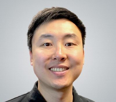
Prof. Dr. Bernhard Höfle is a Professor of Geoinformatics and 3D Geospatial Data Processing at the University of Heidelberg, where he leads the 3DGeo Research Group. His work focuses on computational methods for analyzing 3D/4D point clouds, with applications in environmental monitoring, natural hazard assessment, and vegetation studies.
Research Interests:
- 3D/4D point cloud analysis for environmental observation
- Development of computational algorithms for geospatial data
- Integration of machine learning in remote sensing applications
- Virtual laser scanning simulations (VLS-4D)
- Real-time monitoring systems for critical infrastructure
- Digital Twin integration across scales
Article Trends: His recent publications emphasize real-time 3D environmental monitoring, virtual simulation of dynamic scenes, multi-temporal analysis of natural processes, and machine learning applications for point cloud classification. They span from 2025 back to 2023 and cover diverse applications including rock glaciers, forest monitoring, building damage assessment, and bee activity tracking.
Key Techniques: His work prominently features terrestrial laser scanning, UAV-based LiDAR, and open-source software development. He has contributed datasets like FOR-species20K and developed simulation frameworks such as HELIOS++.