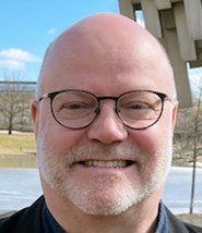
Clayton Blodgettمشاهده پروفایل
استاد آموزشی
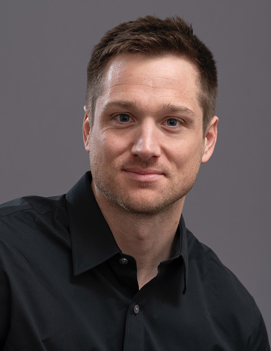
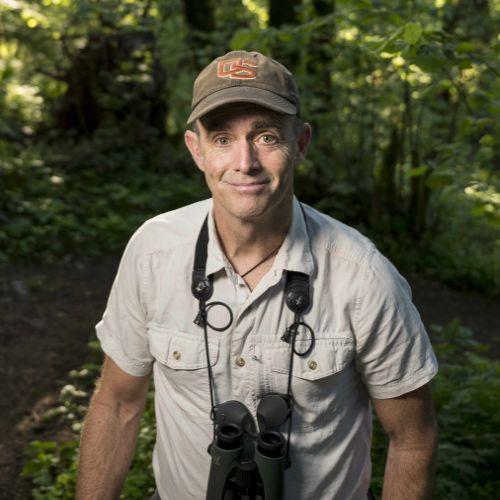
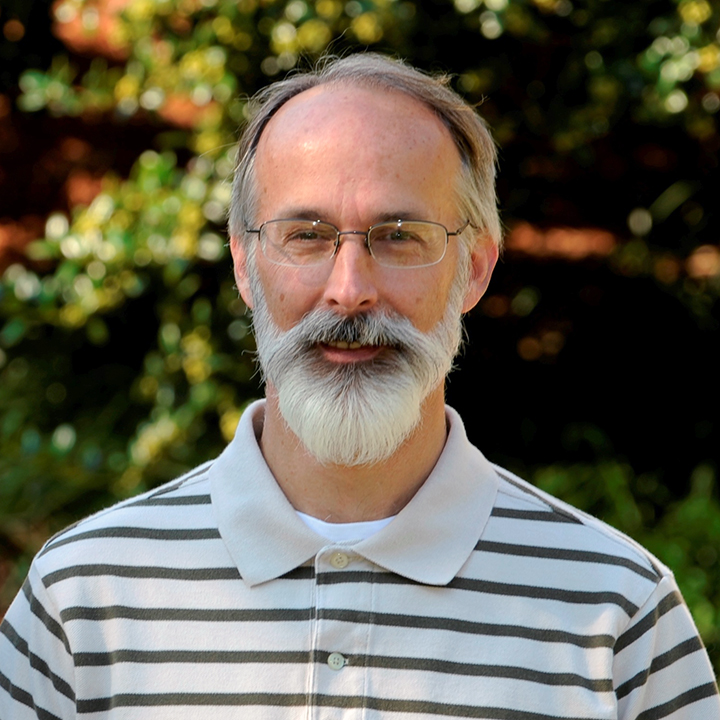
Clayton Blodgett is a **Teaching Professor** in the Department of Geography at the University of Missouri-Columbia. He holds a Ph.D. in Geography from the University of Kansas, an M.Sc. from the University of Calgary, and a B.S. from Utah State University. His research focuses on integrating remote sensing, GIS, and spatial analysis to address challenges in natural resource management, conservation ecology, and landscape ecology. He teaches courses in GIS, remote sensing, cartography, and spatial analysis. **Education:** Ph.D., Geography, University of Kansas M.Sc., Geography, University of Calgary B.S., Geography, Utah State University **Research Interests:** Dr. Blodgett’s work emphasizes practical applications of geospatial technologies to environmental problems. Key areas include wetland mapping, habitat characterization for species like elk and ruffed grouse, and the use of LiDAR and Sentinel-2 satellite imagery for land-use analysis. His interdisciplinary approach bridges archaeology, ecology, and environmental policy. **Publications:** His recent work includes studies on coastal erosion impacts on Native American communities, ceramic analysis in the Casas Grandes region, and ecological mapping for Texas and Missouri. Publications highlight trends in remote sensing innovation and GIS-driven conservation strategies. **Grants/Advising:** No formal grants or student advisees are listed. His contributions focus on applied research and teaching. **Labs/Teams:** Not explicitly mentioned, though collaborations with agencies like the Texas Parks & Wildlife Department and the Missouri Department of Conservation suggest involvement in applied projects.