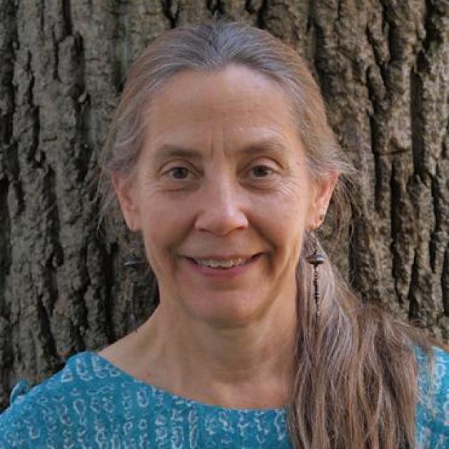
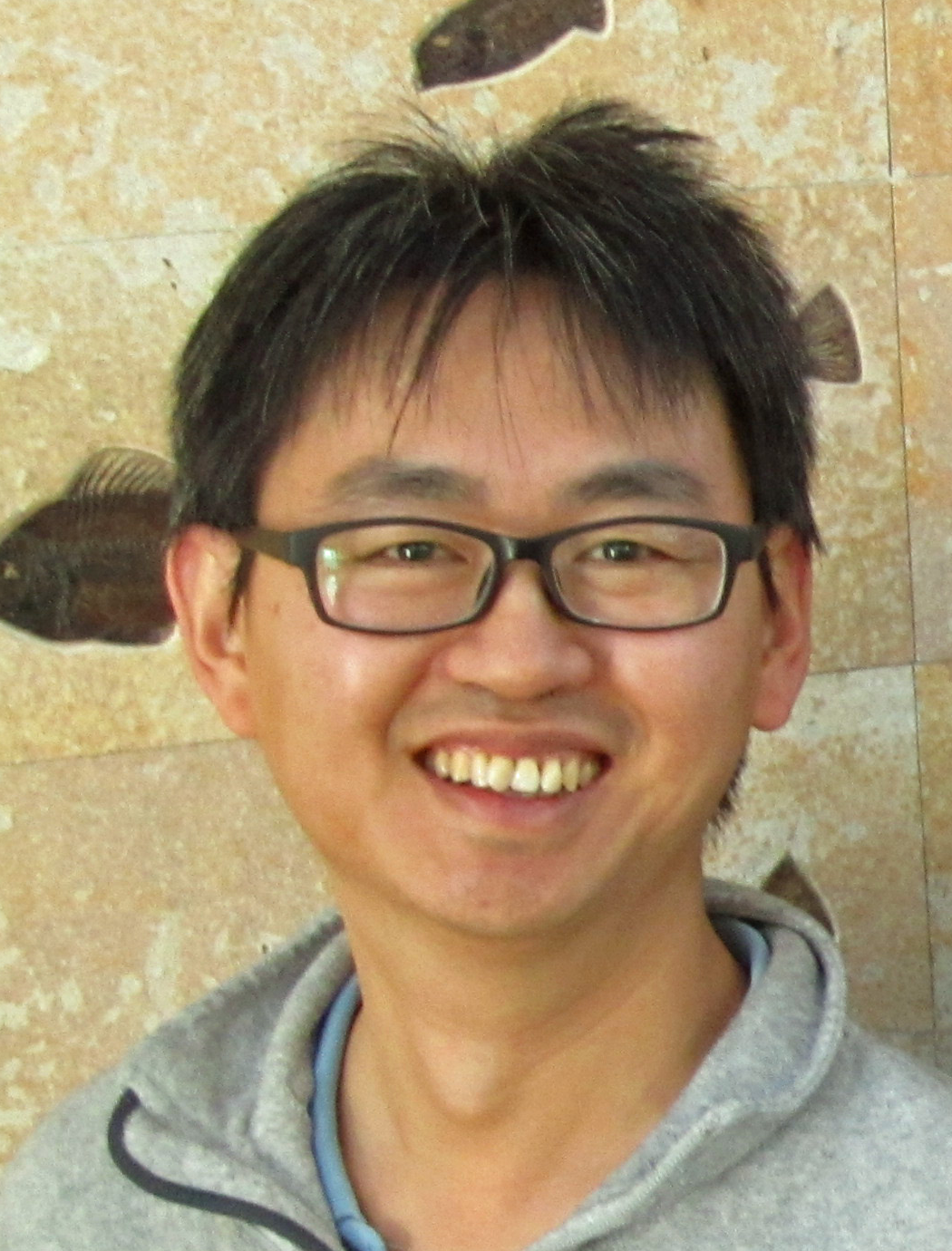
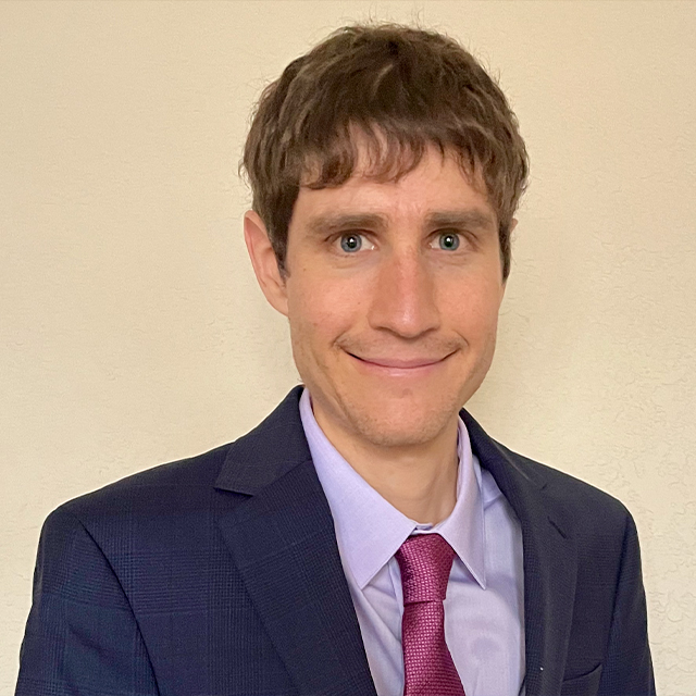
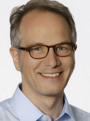
Michele Cooke is an Associate Professor at the University of Massachusetts Amherst , affiliated with the School of Earth and Sustainability. Her research focuses on mechanical modeling of fault systems, particularly in Southern California, and she leads initiatives for disability equity in geosciences. Contact: cooke@umass.edu | (413) 577-3142 | Morrill 3 230, 611 N Pleasant St, Amherst, MA Research Interests: Active faulting and work minimization in fault evolution Integration of analog experiments (sandbox/claybox) with numerical models Disability equity in geosciences (e.g., The Mind Hears mentoring forum) Subduction zone hazards and energy budgets Earthquake early warning accessibility for deaf communities Education: Ph.D., Stanford University
Anne Meltzer is a Professor in the Department of Earth and Environmental Sciences at Lehigh University, specializing in observational seismology with a focus on continental lithosphere evolution, solid earth-surface process interactions, and crustal/mantle deformation. Her work integrates field deployments of seismic arrays in active tectonic regions to study earth structure and earthquake dynamics. Her core research areas include Solid Earth Geophysics, Seismology, Tectonics, Geodynamics, and Natural Hazards. She employs earthquake-based imaging techniques alongside active source reflection seismology and ground penetrating radar to investigate near-surface environments, with applications spanning active tectonics, hydrology, and climate change impacts. Her methodology emphasizes collaborative international research to address seismic hazard mitigation in developing regions. Analysis of her 15 most recent publications (2020-2008) reveals concentrated expertise in subduction zone dynamics (particularly Ecuador's Pedernales earthquake sequence), intraplate seismicity in eastern North America, and continental margin processes. Key geographic foci include the Andes, Mid-Atlantic U.S., Mongolia, and the Tibetan Plateau, with recurring themes of seismic hazard assessment, lithospheric deformation, and innovative instrumentation deployment. Professor Meltzer teaches foundational and advanced courses including Natural Hazards (EES 027), Seismology (EES 201/407), and Tectonic Processes (EES 426), while maintaining active collaborations with global earth science institutions to advance observational seismology and risk reduction strategies.
Dimitris Karlis is a Professor in the Department of Statistics at the Athens University of Economics and Business (AUEB), within the School of Information Sciences and Technology. He has been a key academic figure since earning his BSc and PhD in Statistics from AUEB in 1992 and 1999, respectively, and was promoted to Associate Professor in 2012 before advancing to full Professor. Education: BSc in Statistics, AUEB (1992) PhD in Applied Statistics, AUEB (1999) His research spans computational statistics, mixture models, EM algorithms, copulas, multivariate discrete data, and applications in sports, insurance, and seismicity. He has published extensively in top-tier statistical journals such as the Journal of the Royal Statistical Society and Statistics in Medicine . The 15 most recent publications reveal a strong focus on multivariate count data, integer-valued time series, model-based clustering using copulas, and applications in actuarial science and health. His work frequently involves mixture models, Bayesian inference, and innovative extensions of Poisson-based frameworks. Scientific Service and Recognition: Associate Editor: Metron, Communications in Statistics, IMA Journal of Management Mathematics, Stochastic Environmental Research and Risk Assessment Editor: Biometrics Bulletin of IBS Member: American Statistical Society, International Statistical Institute, International Association of Statistical Computing, Hellenic Statistical Institute Publicity Officer: Eastern Mediterranean Region, International Biometric Society Advising and Grants: He has supervised 4 completed PhDs and 18 Master’s theses, with several more in progress. He has led and participated in research projects funded by the European Union and EUROSTAT, particularly in official statistics. His advising spans methodological and applied topics in statistics. Labs and Teams: While no formal lab is named, he collaborates extensively with researchers in actuarial science, transportation, biostatistics, and environmental risk, often through joint projects and publications.
Shujuan Mao is an Assistant Professor in the Department of Earth and Planetary Sciences at the University of Texas at Austin, part of the Jackson School of Geosciences. She holds a B.S. from Peking University, a Ph.D. from MIT, and conducted postdoctoral research at Stanford University and the Institut des Sciences de la Terre in France. Her research focuses on environmental seismology, hydrogeophysics, and geothermal energy, with an emphasis on understanding subsurface fluid dynamics using seismic interferometry. Key areas include groundwater monitoring, carbon sequestration, and volcanic unrest. She leads the 'Seismo4D' research group, which develops cutting-edge seismic techniques for 4D subsurface imaging. Mao's work spans academic contributions (over 15 peer-reviewed articles), student supervision (two current advisees), and international collaborations. Her group actively recruits PhD students and postdocs interested in environmental seismology and energy transition challenges. Her mailing address is Jackson School of Geosciences, Austin, TX 78712-1692, with contact via smao@jsg.utexas.edu or shujuan.c.mao@gmail.com.
Dr. David E. Lumley is the Cecil & Ida Green Endowed Chair in Geophysics and Professor of Earth Sciences & Physics at the University of Texas at Dallas (UTD), serving as Department Head since 2021. He holds a PhD from Stanford University (1995), MSc and BSc from the University of British Columbia (1989/1986). His research focuses on wavefield inversion methodologies for 4D time-lapse seismology, subsurface imaging, and applications to CO2 sequestration, induced seismicity, and planetary geodynamics. Lumley directs UTD's Seismic Imaging & Inversion Lab and previously led the Center for Energy Geoscience at University of Western Australia (2009-2017). Education: PhD in Geophysics, Stanford University (1995) MSc in Geophysics & Astronomy, UBC (1989) BSc (Hons) in Geophysics & Astronomy, UBC (1986) Research Interests: Pioneering 4D time-lapse seismology, seismic full-waveform inversion (FWI), ambient noise imaging, and applications to energy transition challenges. Current projects include monitoring Yellowstone's magmatic system, CO2 storage validation, and induced seismicity characterization. Combines HPC, AI, and geostatistical methods to solve inverse problems in exploration geophysics and environmental monitoring. Awards: SEG's J. Clarence Karcher Award (1996), 8 Best Paper Awards, Distinguished Lecturer for AAPG/SEG/SPE, and SEG Endowed Scholarships. Named SEG's first 'Pioneer of Geophysics' in 2005. Grants: Over $135M in competitive funding from NSF, DOE, DOD, and international agencies. Active in industry partnerships through ventures like 4th Wave Imaging (acquired by Fugro, 2007). Labs/Teams: Leads Seismic Imaging & Inversion Lab at UTD, collaborating with global networks in Australia, Europe, and industry consortia. Co-developer of seismic inversion software tools used in energy and environmental sectors.
Colin G. Farquharson is a Professor in the Department of Earth Sciences at Memorial University of Newfoundland. His career spans roles including Assistant Professor (2008-2018), Associate Professor (2014-2018), and full Professor since 2018. He holds a Ph.D. in Geophysics from the University of British Columbia (1995) and a B.Sc. (Honours) in Geophysics from the University of Edinburgh (1990). His research focuses on forward modeling and inversion of geophysical electromagnetic data, particularly surface geometry inversion (SGI), meshfree methods for unstructured grids, and joint inversion techniques. Key projects include SGI for hydrothermal vent systems, 3D EM modeling for mineral exploration, and computational methods on unstructured tetrahedral meshes. His work addresses challenges in uranium exploration, subsurface imaging, and geological interface reconstruction. Publications emphasize advancements in electromagnetic theory, inversion algorithms, and applications in mineral and hydrocarbon exploration. Notable collaborations include work with Peter Lelièvre on surface-based inversion and stochastic optimization. Research groups include the CAG Group and FacetModeller team, focusing on integrating geological models with geophysical data. Awards and recognitions are not explicitly listed, but his extensive contributions to geophysical methodology and exploration geophysics are well-documented. He advises numerous graduate students and leads projects funded by NSERC, industry partnerships, and international collaborations.
Fan-Chi Lin is an Associate Professor in the Department of Geology and Geophysics at the University of Utah. With expertise in seismic methods and earth structure analysis, Dr. Lin leads research in seismic interferometry and tomography to understand Earth's structure from shallow to deep. Dr. Lin earned a Ph.D. in Geophysics from the University of Colorado Boulder in 2009. Since then, they have established themselves as a leading researcher in seismic methods development and application. Dr. Lin's research focuses primarily on seismic interferometry and seismic tomography. Seismic interferometry is a method that extracts useful information from diffusive wavefields (like ambient noise and coda wavefields) that were traditionally considered unusable noise. Their work has demonstrated that signals extracted through seismic interferometry provide important new constraints on Earth structure across various scales. This research has applications in studying 3D sedimentary basin structure, regional/continental crust and upper mantle structure, volcano magma bodies, and deeper mantle and core structure. As a member of the University of Utah, Dr. Lin also applies these techniques to model the 3D structure of the Salt Lake Valley and the geometry of the Wasatch fault system to better understand seismic hazards in the area. Analysis of Dr. Lin's recent publications (2021-2025) reveals a strong focus on applying dense seismic arrays and advanced processing techniques to study geological structures. Their work spans multiple geographical areas including Yellowstone National Park, the Wasatch fault system, Taiwan, Hispaniola Island, and the Wyoming Craton. The research demonstrates expertise in Rayleigh wave analysis, ambient noise tomography, and joint inversion techniques. A notable trend is the increasing use of dense linear arrays and double beamforming techniques to achieve higher resolution imaging of subsurface structures. Dr. Lin maintains an active research program with numerous collaborations across institutions. Their work has been featured in high-impact journals including Nature, Science, and Geophysical Research Letters, with several papers receiving media attention from outlets like BBC Science Focus, Discover Magazine, and Phys.org. Dr. Lin leads the "noise.earth.utah.edu" research group, which focuses on developing and applying seismic noise-based methods for Earth structure imaging. The lab utilizes both permanent and temporary seismic arrays to study various geological settings, with particular emphasis on geothermal systems, fault zones, and volcanic regions.
Dr. Daniel Trugman is an Assistant Professor in the Department of Geological Sciences and Engineering at the University of Nevada, Reno (UNR), affiliated with the Mackay School of Earth Sciences and Engineering. He holds a BS in Geophysics from Stanford University and MS/PhD in Earth Sciences from Scripps Institution of Oceanography at UC San Diego. Previously, he was a Richard P. Feynman Postdoctoral Fellow at Los Alamos National Laboratory (2018–2020) and an Assistant Professor at the University of Texas at Austin (2020–2022). His research focuses on earthquake rupture processes, seismic hazards, and leveraging machine learning and big data in seismology. He leads projects at the Nevada Seismological Laboratory, investigating Nevada seismicity, fault interactions, and earthquake early warning systems. Education: • Ph.D., Earth Sciences, UC San Diego (2017) • M.S., Earth Sciences, UC San Diego (2015) • B.S., Geophysics, Stanford University (2013) Research interests include: Nevada seismicity and tectonics Earthquake source properties (stress drop, radiated energy) Seismic hazard analysis Machine learning for glacier dynamics and seismic monitoring Induced seismicity and fracking impacts Awards: Charles F. Richter Early Career Award (2023) Mousel-Feltner Award for Research Excellence (2023) His work integrates high-fidelity physical modeling with data-driven techniques, including studies on glacier basal sliding, ground motion prediction, and fault network complexity. He teaches courses on Python for Earth Sciences and earthquake engineering. Labs/Teams: Active member of the Nevada Seismological Laboratory and collaborates with the Southern California Earthquake Center (SCEC) and USGS.
Matthias Baitsch serves as Professor of Construction Informatics and Numerical Methods in the Department of Civil and Environmental Engineering at Bochum University of Applied Sciences, where he concurrently heads the BIM Institute. His academic trajectory includes research assistant and senior engineer roles at Ruhr-University Bochum (2000-2009), academic coordination at the Vietnamese-German University (2009-2012), and an acting professorship at the University of Kassel (2012-2014). His educational foundation comprises: Civil Engineering studies at the University of Dortmund (1991-1997) under the interdisciplinary "Dortmund Model" Doctorate from Ruhr-University Bochum (2003) on geometric imperfection-based optimization of compressive beam structures Professor Baitsch's research integrates computational mechanics with civil engineering practice, specializing in construction informatics, numerical optimization, and high-order finite element methods. His work pioneers distributed optimization frameworks, structural health monitoring for wind energy infrastructure, and BIM-based construction informatics. Key methodological contributions include hp-FEM implementations, parallel optimization algorithms, and mobile structural analysis tools. Analysis of his recent publications reveals three dominant research trajectories: (1) Advanced numerical methods for structural optimization under uncertainty, (2) Health monitoring-driven lifetime prediction for wind turbine systems, and (3) Computational modeling of tunnel environments using viscoacoustic inversion techniques. These threads demonstrate consistent focus on robust numerical implementations and real-world civil engineering applications. As Head of the BIM Institute, he leads institutional efforts in digital construction technologies, fostering industry-academia collaboration on building information modeling standards and applications. His teaching portfolio spans foundational mathematics, numerical methods, and computer science for civil engineering students, emphasizing practical computational skills.
Christine Baker is an Assistant Professor in Civil & Environmental Engineering at Stanford University , part of the School of Engineering . She leads the Environmental Fluid Mechanics Lab , focusing on coastal processes, wave dynamics, and climate change impacts. Her research explores nearshore currents, sediment transport, and coastal hazards like rip currents, using tools such as LiDAR, 3D modeling, and a custom wave tank (11m x 5m) to simulate multidirectional waves. Her work addresses how rising sea levels and extreme storms reshape coastlines, emphasizing interdisciplinary approaches to coastal ecosystems, public health, and infrastructure resilience. She collaborates with federal agencies like the Army Corps of Engineers to improve predictive models for coastal management. Dr. Baker prioritizes equitable student admission and fosters a lab environment centered on mental health and diversity. Key research themes include surfzone eddies, rip current dynamics, and dune erosion during storms. Her studies integrate field measurements (e.g., LiDAR for dune evolution) with experimental and numerical models to enhance understanding of coastal processes. Labs/Teams: Environmental Fluid Mechanics Lab (wave tank experiments) Future Work: Interdisciplinary projects on coastal ecosystems and public health impacts
Lee Liberty is a Research Professor in the Department of Geosciences at Boise State University. His research focuses on seismic reflection imaging of active tectonic processes, including earthquake hazards, fault systems, and geothermal exploration. He leads projects funded by agencies such as the US Geological Survey, NSF, and the Research Council of Norway. Education: M.S. in Geosciences from the University of Wyoming (1992); B.S. in Geosciences from Syracuse University (1987). Key research areas include neotectonics, basin-scale geophysical studies, and humanitarian geophysics. His tools include seismic reflection, gravity/magnetic surveys, and ground-penetrating radar. Recent projects address earthquake hazards in Idaho, fault characterization in Nevada and Alaska, and CO2 containment monitoring in Utah. Publications span seismic imaging, fault dynamics, and geothermal resource assessment. He is an active member of the American Geophysical Union (AGU), Geological Society of America (GSA), and Society of Exploration Geophysicists (SEG).
Costas Smaragdakis is an Assistant Professor in Numerical Analysis and Scientific Computing at the Department of Statistics and Actuarial - Financial Mathematics, University of the Aegean. He is also a Member of the Institute of Applied and Computational Mathematics (IACM) at FORTH. His work bridges numerical methods, machine learning, and applied mathematics, with a focus on solving complex problems in finance and oceanography. Research Interests : Numerical Analysis Scientific Computing Mathematical Modelling Deep Learning Machine Learning Applications to PDEs/PIDEs Recent Research Trends : His articles highlight a strong focus on integrating deep learning with traditional numerical methods for functional minimization, PDE/PIDE solutions, and financial applications. Earlier work emphasizes acoustic signal processing, inverse problems in oceanography, and wavelet-based analysis. Events : Organized a mini-symposium on Machine Learning Methods in Finance (ICCF24, Amsterdam) and attended international workshops in Canada and Greece. Contact : kesmarag@aegean.gr , kesmarag@iacm.forth.gr , Office A5, Vourlioti Building, Karlovassi, Samos, Greece.
Dr. Lanbo Liu is a Professor at the University of Connecticut specializing in geophysics and engineering geology. His research focuses on advanced geophysical methods for subsurface imaging, including seismic and electromagnetic techniques applied to urban infrastructure, permafrost environments, and fault detection. He holds a Ph.D. in Geophysics from Stanford University, complemented by M.S. degrees in Environmental Engineering and Geophysics from Stanford and Peking University, as well as a B.S. in Geophysics from Peking University. Research interests include engineering site characterization, wave propagation modeling, environmental geophysics, and the integration of passive and active seismic data. Notable work involves using ambient noise for urban subsurface imaging and developing novel GPR and radar techniques for infrastructure assessment. His projects span global locations such as Tibet, South Korea, and Inner Mongolia, addressing challenges in permafrost thawing, fault zone analysis, and tunnel prospecting. Dr. Liu’s work emphasizes practical applications of geophysical methods for civil engineering and environmental sustainability. He has published extensively on topics including ground-penetrating radar innovations, seismic hazard assessments, and subsurface structure characterization. His contributions advance both theoretical geophysics and applied engineering solutions in complex environments.
Professor Ian Ferguson is a faculty member in the Department of Earth Sciences at the University of Manitoba, affiliated with the Clayton H. Riddell Faculty of Environment, Earth, and Resources. He holds a Ph.D. in Geophysics and B.Sc. (Hons) in Geology/Geophysics from the Australian National University. His research focuses on electromagnetic methods to study Earth's crust and upper mantle, including tectonic history, groundwater systems, environmental geophysics, archaeological investigations, and carbon sequestration monitoring. Notable projects include magnetotelluric surveys in Canada's Cordillera and Superior Craton, as well as geophysical studies at the Aquistore CO2 sequestration site. Dr. Ferguson teaches advanced courses such as GEOL 3810 - Applied Geophysics and GEOL 7820 - Environmental Geophysics , emphasizing practical skills in geophysical data analysis and field methodology. His work integrates cutting-edge techniques like deep learning algorithms for geophysical inversion and multidisciplinary approaches in Arctic archaeology. His publications span over 40 years, addressing diverse topics from continental-scale tectonics to near-surface environmental applications. Collaborations include international projects like the SNORCLE initiative and domestic studies on Canadian geohazards and resource exploration.
Hefeng Dong is a Professor in Acoustic Remote Sensing at the Department of Electronic Systems (IES) at NTNU since 2002. She leads the Acoustics Group and focuses on underwater acoustics, geoacoustic modeling, and marine environmental impact studies. Her research integrates signal processing, seismic inversion, and distributed sensing technologies. Education: BSc/MSc in Physics (Northeast Normal University, 1983/1986), PhD in Geoacoustics (Jilin University, 1994). She held positions at SINTEF Petroleum and conducted research visits at the University of Victoria (2008–2009) and University of Delaware (2014–2015). She is a member of IEEE and the Acoustical Society of America. Research interests span underwater acoustic communication, fiber-optic sensing for geophysics, and environmental monitoring. Recent work includes advancements in distributed acoustic sensing (DAS) for seabed monitoring and underwater localization using vector sensors. Her publications emphasize machine learning applications in geophysical data analysis and signal processing. Notable contributions include studies on shear wave velocity estimation via deep learning and the development of underwater communication protocols using fiber-optic cables. She has also explored the environmental impact of low-frequency sound on marine life, integrating acoustic measurements with ecological studies. Grants and collaborations include projects on quick clay monitoring and geophysical sensing technologies for energy applications. Her academic outreach includes hands-on acoustics training courses at NTNU and international conference participation.