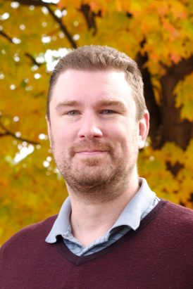
Bahram Salehiمشاهده پروفایل
دانشیار
- Remote Sensing
- Environmental Science
- GIS
- +۴ مورد دیگر
Bahram Salehi is an Associate Professor and Graduate Students Coordinator in the Department of Environmental Resources Engineering at SUNY College of Environmental Science and Forestry (ESF). His research focuses on remote sensing applications, including wetland mapping, forest biomass estimation, water quality monitoring, and 3D urban tree modeling using SAR, multispectral, and UAV technologies. He leads the Salehi-Geolab, which develops advanced remote sensing and machine learning techniques for environmental monitoring. Education: Ph.D., University of New Brunswick, Canada (2012) M.Sc., K.N. Toosi University of Technology, Iran (2005) B.Sc., University of Tehran, Iran (2002) Research Interests: Salehi's work integrates cutting-edge technologies like PolSAR, UAV photogrammetry, and deep learning to address environmental challenges. Key areas include: Wetland and forest monitoring at national scales Carbon storage assessment using SAR and optical data Water quality prediction in inland waters 3D urban tree modeling with LiDAR and multispectral data Articles Trends: His recent publications emphasize machine learning-driven approaches for wetland classification (e.g., using GANs and ensemble models), UAV-based forest 3D modeling, and biomass estimation using multi-source data. Key applications include New York State forest biomass mapping and harmful algal bloom detection in Finger Lakes. Advising & Grants: Salehi supervises graduate students in remote sensing and geospatial analytics. He leads projects funded by NIFA, NYS DEC, and the Clarkson-ESF Healthy Water Solutions Center. Past work includes developing Canada's wetland inventory using Google Earth Engine. Labs & Teams: The Salehi-Geolab (salehi-geolab.com) collaborates on projects like the New York State Carbon Assessment and NASA-ISRO SAR Mission (NISAR) wetland monitoring. Outputs include software tools (ARSenAL) and datasets like the 10m resolution NY State canopy height map.