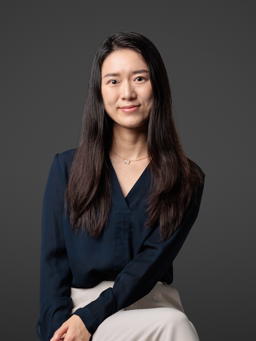
Introduction Dr. Shelley Xuelian Meng is an Associate Professor in the Department of Geography and Anthropology at Louisiana State University (LSU), part of the College of Humanities & Social Sciences. Her research focuses on leveraging remote sensing technologies (e.g., UAVs, LiDAR, multispectral imaging) to study coastal dynamics, wetland restoration, vegetation health, and precision agriculture. Education Ph.D. in Geography and GIScience, Texas State University (2010) M.S. in GIS and Cartography, Chinese Academy of Sciences (2003) B.E. in Information Engineering, Wuhan University (2000) Research Interests Meng’s work emphasizes the application of advanced geospatial technologies to address environmental challenges. Key areas include: Coastal wetland die-off and restoration using multi-scale remote sensing LIDAR and UAV-based terrain and vegetation mapping Object-oriented classification algorithms for environmental monitoring GIS integration for precision agriculture and disaster management Awards & Recognition 2023 Tipton Team Award (for Roseau cane die-off research) 2014 Best Paper Award in Remote Sensing CPGIS Young Scholar (2012) Grants & Projects Notable funded projects include: USDA-funded Roseau cane die-off studies ($1.6M+ across multiple years) Development of LiDAR and thermal sensing tools for coastal research Acquisition of terrestrial LiDAR equipment for multidisciplinary studies Labs & Affiliations Meng directs the Technology Intensive Geospatial and Remote Sensing (TIGeRS) Lab , which houses advanced equipment including drones, LiDAR scanners, and multispectral sensors. The lab collaborates with the LSU Coastal Studies Institute and other institutions.