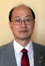
Dr. Yun Zhang is a Professor and Canada Research Chair in the Department of Geodesy and Geomatics Engineering at the University of New Brunswick. He holds a PhD from the Free University of Berlin and has pioneered research in remote sensing, image processing, and computer vision since 2000. His patented technologies are licensed to global companies including PCI Geomatics and DigitalGlobe. Research Focus: Optical/radar image processing, digital photogrammetry, AI applications in geomatics, and sensor fusion for UAV systems. His work enables advanced geospatial analysis across environmental, urban, and defense sectors. Distinctions: First Giuseppe Inghilleri Award (ISPRS 2012) NSERC Synergy Innovation Award from Governor General of Canada (2011) ASPRS Talbert Abrams Grand Award (2005) Featured in CFI 20th Anniversary Book for breakthrough innovations Technology Impact: Solutions deployed by NASA, USGS, Google Earth, and DND Canada across five continents. Recognized among top 9 Canadian research achievements in AUTM's global case studies alongside MIT and Stanford innovations.
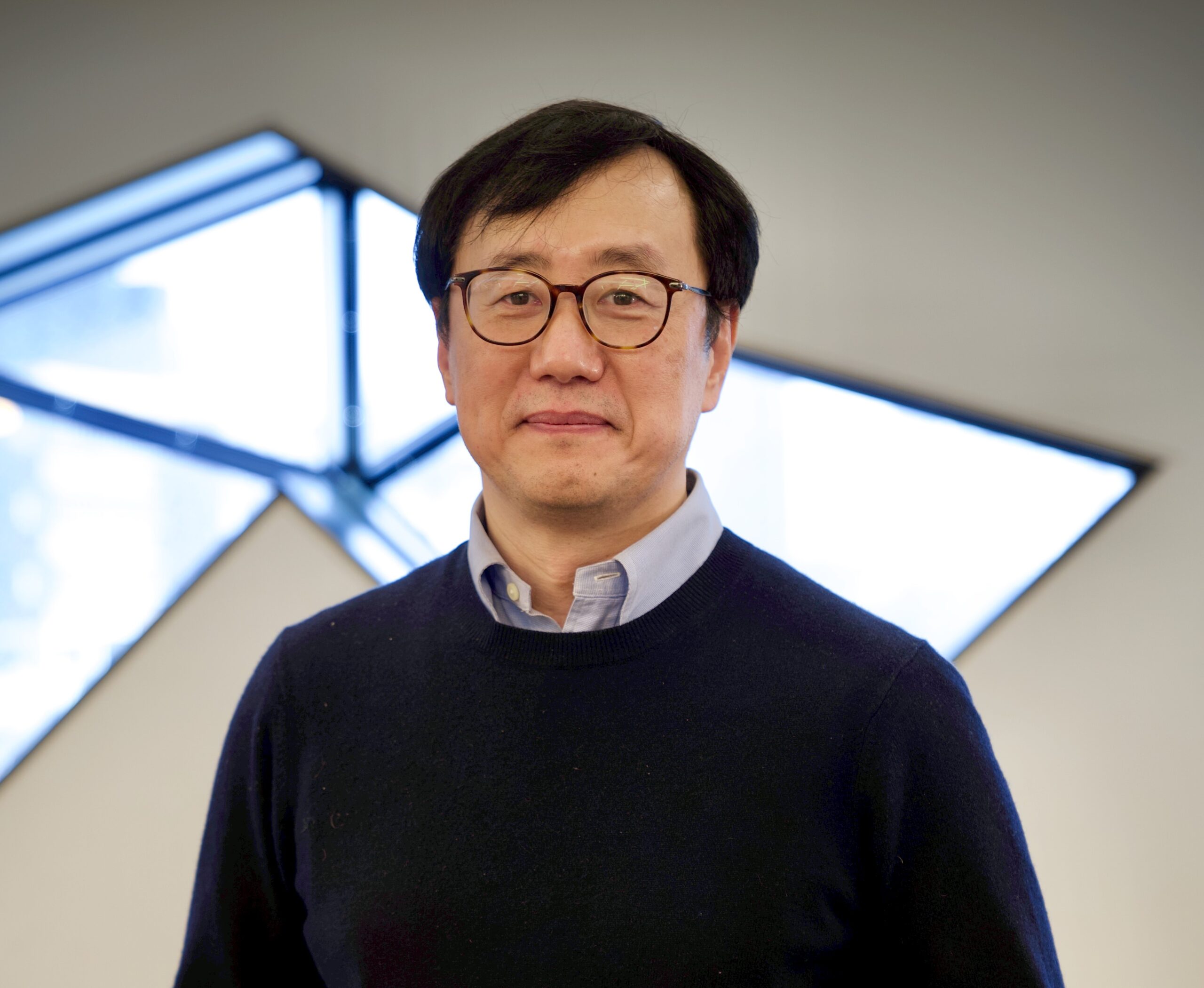
Gunho Sohn is an Associate Professor and Department Chair in the Earth and Space Science and Engineering (ESSE) Department at York University's Lassonde School of Engineering. His research focuses on advanced geomatics engineering applications, including 3D urban modeling, photogrammetric computer vision, and geospatial data integration. He specializes in developing innovative solutions for navigation systems, energy optimization, and autonomous robotics through interdisciplinary approaches. Dr. Sohn's work emphasizes practical implementations of remote sensing technologies, with notable contributions to LiDAR data processing, SLAM systems, and BIM-GIS integration. His research has addressed real-world challenges such as improving air quality models using industrial plume observations and creating inclusive pedestrian navigation tools using open geospatial datasets. Recent trends in his publications highlight advancements in deep learning for geospatial tasks, including semantic segmentation of aerial LiDAR data, noise reduction in sensor networks, and UAV positioning systems. His work also explores digital twin applications for simulating urban environments and optimizing building energy consumption through BIM data analysis. While no specific awards or grants are listed, his extensive publication record reflects significant contributions to the fields of geomatics and computer vision. His research group collaborates on large-scale datasets like YUTO MMS and Yuto Semantic, advancing mobile mapping and semantic understanding of urban infrastructure.
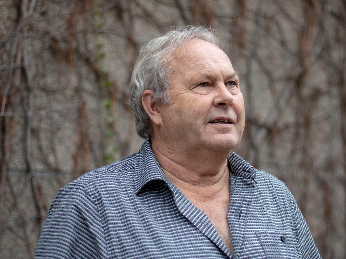
Dr. Michael A. Chapman serves as a Professor in the Department of Civil Engineering at Toronto Metropolitan University, specializing in image processing, deformation analysis, and sensor-integrated geospatial modeling for infrastructure applications. His work bridges civil engineering with advanced computational techniques for real-world problem solving. His academic credentials include a BT from Toronto Metropolitan University (1977), MSc from Ohio State University (1979), and PhD from Laval University (1989). BT: Toronto Metropolitan University (1977) MSc: Ohio State University (1979) PhD: Laval University (1989) Chapman's research centers on deformation monitoring of structures like the Rogers Centre roof, mobile mapping for road condition assessment, and sensor fusion for precision geospatial models. He pioneers applications in pavement deflection measurement using Doppler lasers and mobile laser scanning for infrastructure inspection, emphasizing practical engineering solutions derived from photogrammetry and image metrology. His methodology transforms mechanical observation into digital innovation for civil infrastructure management. His publication portfolio reveals a strong trajectory in merging deep learning with geospatial engineering, particularly in hyperspectral image classification and mobile mapping systems. These works consistently address civil infrastructure challenges through advanced computational approaches, demonstrating evolving sophistication from pavement crack extraction to sea ice mapping. His distinguished recognition includes: Wild Heerbrugg Photogrammetric Award - North America (1981) Chapman actively supervises graduate students and teaches core courses including CVL 207 (Graphics), CVL 352 (Geomatics Measurement Techniques), and CV8506 (Industrial Metrology). He emphasizes adaptive pedagogy to accommodate diverse learning styles, viewing teaching as both professional duty and personal passion. His industry-relevant research often involves partnerships with transportation authorities for real-time infrastructure assessment. His laboratory work focuses on mobile mapping systems and sensor integration platforms for deformation monitoring, particularly applied to large-scale structures and transportation networks. Current projects involve real-time pavement assessment technologies and 3D modeling of built environments using multi-sensor fusion approaches.
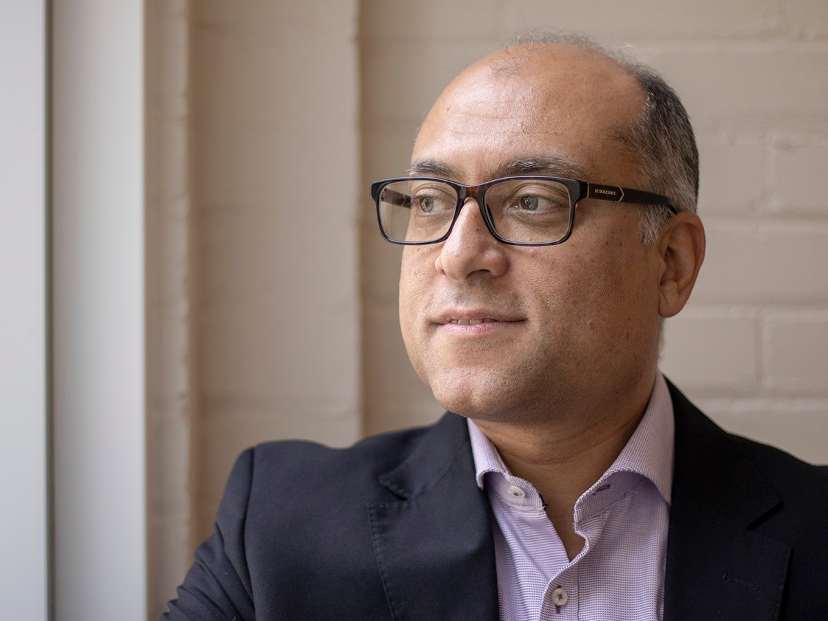
Ahmed Shaker is a Professor in the Department of Civil Engineering at Toronto Metropolitan University, where he also serves as Associate Dean for International Affairs in the Faculty of Engineering and Architectural Science (FEAS) and Director of the Remote Sensing Innovation Lab (RSIL). His work bridges advanced remote sensing technologies with civil engineering applications. Education: PhD, The Hong Kong Polytechnic University, 2004 MASc, Cairo University, 1998 BSc, Cairo University, 1993 Dr. Shaker's research centers on remote sensing, particularly in multispectral LiDAR data processing, image registration, radiometric correction, and data fusion. He explores how sensor data can be used to map and classify land surfaces with high precision, enabling applications in urban planning, environmental monitoring, and infrastructure assessment. His work emphasizes innovation in 3D laser scanning and the integration of spectral and spatial data for improved surface characterization. His recent publications reflect a strong focus on extracting meaningful information from complex remote sensing datasets. Themes include land/water discrimination, artifact correction in LiDAR intensity data, and the use of geospatial regression models for environmental quality assessment. The research spans disciplines such as environmental science, urban studies, and cultural heritage, demonstrating the versatility of remote sensing in solving real-world engineering problems. Scientific Awards: Dean’s Teaching Award, Ryerson Award, 2015 Bronze Medal Award, Canadian Remote Sensing Society (CRSS), 2011 Faculty Scholarly, Research and Creative Activity Award, Toronto Metropolitan University, 2011 Marie Curie Incoming International Fellowship, European Commission, 2006 Dr. Shaker has secured significant research funding and leads the Remote Sensing Innovation Lab, where he mentors students and collaborates on international projects. He has supervised numerous research initiatives and is actively involved in academic service, including leadership roles in ISPRS and the Canadian Remote Sensing Society. His advisory work supports the advancement of geospatial technologies in engineering practice. He is associated with the Remote Sensing Lab at Toronto Metropolitan University, which focuses on developing cutting-edge methodologies for processing and analyzing LiDAR and satellite imagery. The lab fosters interdisciplinary collaboration and innovation in geospatial data science.