معرفی
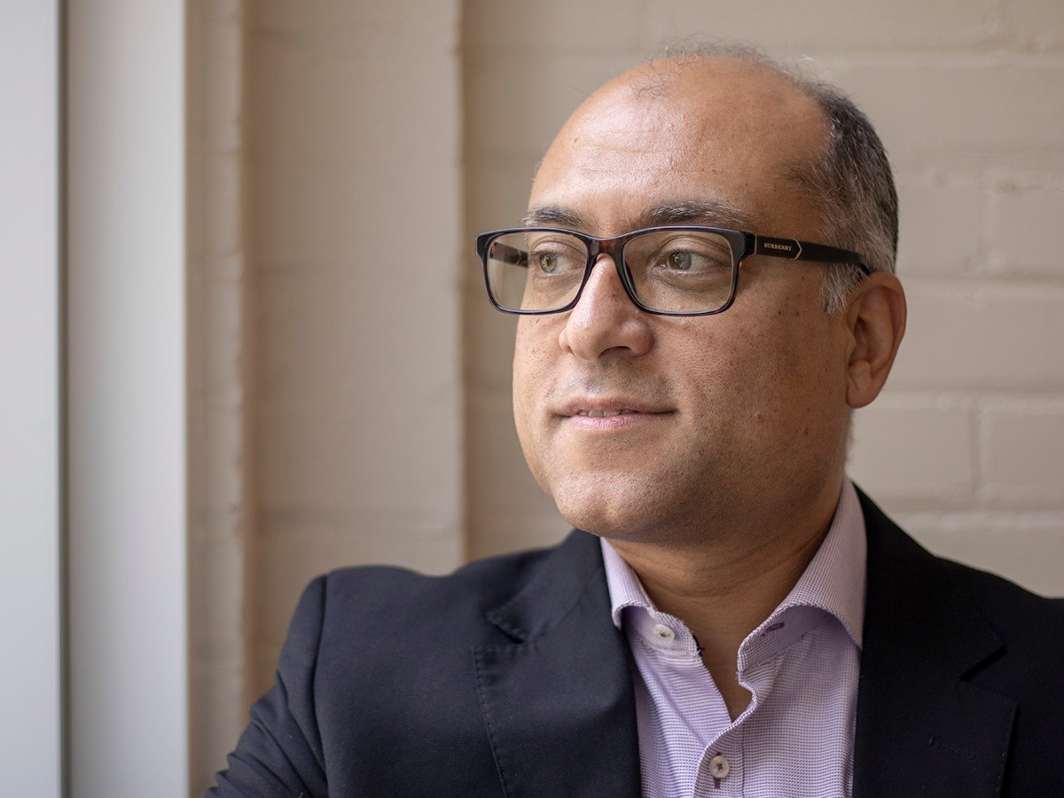
Ahmed Shaker is a Professor in the Department of Civil Engineering at Toronto Metropolitan University, where he also serves as Associate Dean for International Affairs in the Faculty of Engineering and Architectural Science (FEAS) and Director of the Remote Sensing Innovation Lab (RSIL). His work bridges advanced remote sensing technologies with civil engineering applications.
Education:
- PhD, The Hong Kong Polytechnic University, 2004
- MASc, Cairo University, 1998
- BSc, Cairo University, 1993
Dr. Shaker's research centers on remote sensing, particularly in multispectral LiDAR data processing, image registration, radiometric correction, and data fusion. He explores how sensor data can be used to map and classify land surfaces with high precision, enabling applications in urban planning, environmental monitoring, and infrastructure assessment. His work emphasizes innovation in 3D laser scanning and the integration of spectral and spatial data for improved surface characterization.
His recent publications reflect a strong focus on extracting meaningful information from complex remote sensing datasets. Themes include land/water discrimination, artifact correction in LiDAR intensity data, and the use of geospatial regression models for environmental quality assessment. The research spans disciplines such as environmental science, urban studies, and cultural heritage, demonstrating the versatility of remote sensing in solving real-world engineering problems.
Scientific Awards:
- Dean’s Teaching Award, Ryerson Award, 2015
- Bronze Medal Award, Canadian Remote Sensing Society (CRSS), 2011
- Faculty Scholarly, Research and Creative Activity Award, Toronto Metropolitan University, 2011
- Marie Curie Incoming International Fellowship, European Commission, 2006
Dr. Shaker has secured significant research funding and leads the Remote Sensing Innovation Lab, where he mentors students and collaborates on international projects. He has supervised numerous research initiatives and is actively involved in academic service, including leadership roles in ISPRS and the Canadian Remote Sensing Society. His advisory work supports the advancement of geospatial technologies in engineering practice.
He is associated with the Remote Sensing Lab at Toronto Metropolitan University, which focuses on developing cutting-edge methodologies for processing and analyzing LiDAR and satellite imagery. The lab fosters interdisciplinary collaboration and innovation in geospatial data science.