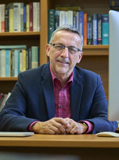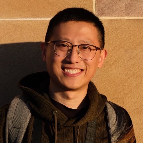
Yongjing Maoمشاهده پروفایل
عضو هیئت علمی
Dr. Yongjing Mao serves as an Associate Lecturer at the Water Research Laboratory within the School of Civil and Environmental Engineering at the University of New South Wales (UNSW). His academic journey includes a PhD in Remote Sensing and Coastal Geomorphology from The University of Queensland (2022), an MSc in Coastal and Marine Engineering and Management from Delft University of Technology (2018), and a BSc in Harbour, Coastal and Offshore Engineering from Hohai University (2016). Mao specializes in integrating coastal morphology with advanced remote sensing and machine learning techniques to address critical shoreline monitoring challenges. His research focuses on developing SAR-Optical satellite image fusion methods for cloud-contaminated imagery, implementing data assimilation for shoreline modeling, and creating deep learning spatio-temporal models (such as ConvLSTM and PredRNN) for predicting future shoreline changes at regional to global scales. His work significantly contributes to understanding coastal responses to sea-level rise and improving satellite-derived shoreline mapping accuracy. Mao's publication portfolio demonstrates consistent high-impact contributions to coastal remote sensing, with recent work benchmarking shoreline prediction models and developing innovative fusion techniques. His research bridges theoretical advancements with practical applications for coastal management, particularly in vulnerable regions like the Great Barrier Reef catchments. UQ Dean's Award for Outstanding HDR Theses (2022) Erasmus Mundus Partner Country Scholarship (€49,000) (2016) Mao actively contributes to coastal research through the Water Research Laboratory at UNSW, where he applies cutting-edge computational methods to real-world coastal challenges. His teaching responsibilities include CVEN9620 Rivers, Estuaries and Wetlands and ENGG2500 Fluid Mechanics for Engineers, where he integrates his research expertise into curriculum development. Current projects focus on spatio-temporal deep learning applications for shoreline change prediction and satellite-derived environmental monitoring systems.