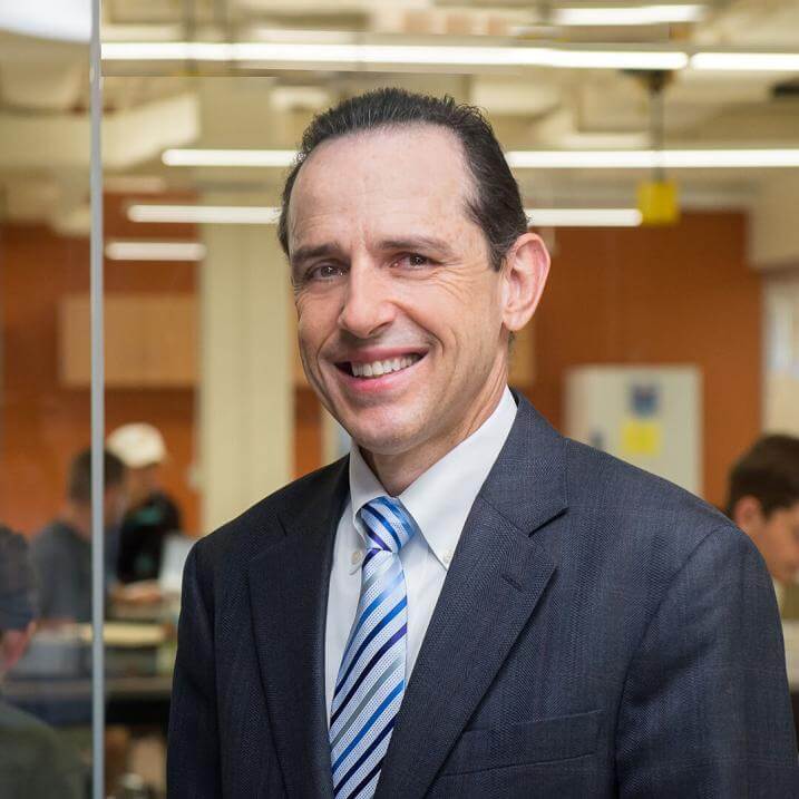
Luis Garcia is a Professor in the Department of Civil and Environmental Engineering at the University of Vermont (UVM). He holds a B.S., M.S., and Ph.D. in Civil Engineering from Texas A&M University and the University of Colorado, Boulder. His research focuses on water resources, agricultural water use, and decision support systems, leveraging remote sensing, GIS, and hydrological modeling. Educationally, he teaches courses such as Civil Engineering Principles I and II , Advanced Engineering using GPS and GIS , and Strategies for Engineering Problem Solving . His expertise bridges environmental engineering, precision agriculture, and sustainable water management. Dr. Garcia's awards include multiple ASCE Best Research Paper Awards (2015, 2014, 1999), the Gold Key Award for Professor of the Year (2003), and recognition from Colorado State University for academic excellence and service (e.g., 2000 ASAE Outstanding Faculty). His work emphasizes interdisciplinary collaboration, particularly in irrigation systems, soil salinity management, and climate change impacts. He contributes to professional societies like the American Society of Civil Engineers (ASCE) and the American Society for Engineering Education (ASEE).
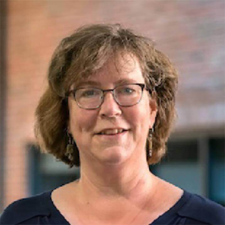
Kristen Underwood is a Research Professor in the Department of Civil and Environmental Engineering at the University of Vermont (UVM), affiliated with the College of Engineering and Mathematical Sciences. Her work bridges water resources engineering, aquatic ecology, and advanced computational methods to address environmental challenges. She holds a Ph.D. in Environmental Engineering and an M.S. in Geosciences from UVM and Penn State University, respectively. Education: Ph.D., Environmental Engineering (UVM); M.S., Geosciences (Penn State) Her research focuses on applying machine learning, Bayesian inference, and geostatistical tools to study catchment dynamics, fluvial geomorphology, and sediment-nutrient flux in rivers. She explores sustainable infrastructure design and floodplain restoration to mitigate hazards and enhance ecological compatibility. Recent work emphasizes floodplain functionality, including sediment deposition patterns and phosphorus retention in restored wetlands. She collaborates on projects like the Functioning Floodplain Initiative and Vermont’s Water Resources Monitoring Network. Publications highlight innovative applications of AI in turbidity forecasting, flood routing models, and snow hydrology using LIDAR data. She also investigates the impact of climate change on water systems and interdisciplinary approaches to Critical Zone science. Dr. Underwood teaches courses in Applied River Engineering and Data Analytics for Water Resources, reflecting her commitment to integrating theory and practical solutions in environmental engineering.
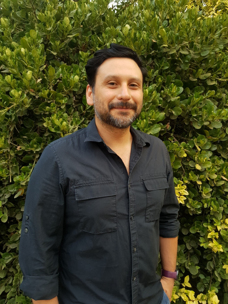
Luis Reyes Rojas is a Postdoctoral Research Associate at Washington State University's Department of Crop and Soil Sciences, affiliated with the College of Agricultural, Human, and Natural Resource Sciences. He is stationed at the General Campus – Mount Vernon. His research focuses on soil science, remote sensing, and machine learning applications in environmental systems. Education: PhD in Soil Science, University of Wisconsin-Madison Undergraduate and Master's studies at the University of Chile, focusing on water and saline stress impacts on tree crop physiology and production. Research Interests: Luis specializes in digital soil mapping, legacy data rescue, and remote sensing techniques for land use/land cover analysis. His work integrates machine learning to study rock glaciers and agricultural systems. He has explored evapotranspiration dynamics in tree crops under saline and water stress conditions, contributing to sustainable land management strategies. Labs/Teams: Prior to his current role, Luis conducted research at the University of Chile’s Center of Mathematical Modeling, emphasizing interdisciplinary approaches to environmental challenges.
Dr. Jia Yang is an Assistant Professor in the Department of Natural Resource Ecology & Management at Oklahoma State University, part of the Division of Agricultural Sciences and Natural Resources (DASNR). His research focuses on ecosystem responses to climate change and wildfires, employing process-based modeling and remote sensing. He holds a Ph.D. in Forestry from Auburn University (2015) and a B.S. in Biology/Applied Meteorology from China Agricultural University (2007). Research Interests: Wildfire impacts, climate adaptation, ecohydrology, geospatial modeling, and water resource dynamics. Teaching: Courses include Geospatial Technologies for Natural Resources, Ecosystem Modeling, and Natural History. Active in advising doctoral and master’s students. Grants: Includes studies on wildfire risk mapping, afforestation effects on water resources, and climate resilience in rural communities. Recent funding from NSF and state agencies. Publications: Over 80 peer-reviewed articles in journals like Ecological Indicators, Journal of Hydrology, and Global Biogeochemical Cycles, focusing on climate-fire interactions, hydrological modeling, and land-use change impacts.
Abia Katimbo is an Assistant Professor and Irrigation Management Specialist at the University of Nebraska-Lincoln, affiliated with the Daugherty Water for Food Global Institute. Her research focuses on sensor-based irrigation management, smart scheduling, and developing decision support tools to optimize water use in agriculture. Precision Irrigation Soil Water Dynamics Artificial Intelligence in Agriculture IoT for Agricultural Systems Her work leverages machine learning, wireless sensor networks, and crop modeling to address water conservation challenges in the US Midwest and sub-Saharan Africa. Recent publications highlight AI-driven evapotranspiration estimation, edge-cloud computing for irrigation, and off-grid water solutions. Scientific Awards : 2021 Black Trailblazer in Engineering and Fellow at Purdue University 2017 MasterCard Scholar at University of British Columbia She is a member of the American Society of Agricultural and Biological Engineers (ASABE) and Tri-Society (ASA, CSSA, SSSA).
Manoochehr Shirzaei is an Associate Professor of Geophysics and Remote Sensing at Virginia Tech's Department of Geosciences (College of Science). His research focuses on satellite geodesy, inverse theory, and modeling techniques to understand crustal deformation processes, including seismic/aseismic faulting, anthropogenic hazards, groundwater dynamics, and sea-level rise impacts. He develops advanced InSAR and numerical modeling methods to quantify deformation mechanisms and mitigate natural hazards. Education: PhD (2010) in Potsdam University (Germany), M.S. (2003) in Geodesy from Tehran University, and B.A. (2001) in Surveying Engineering from Amir-Kabir University of Technology. His work bridges geophysical observations with theoretical models to address real-world challenges like subsidence, induced seismicity, and coastal vulnerability. Research Interests: Remote Sensing of Earth Deformation Induced Seismicity from Fluid Injection Subsidence Mitigation Strategies Climate-Driven Coastal Hazards Poroelastic Stress Modeling Recent Work Trends: His publications emphasize interdisciplinary approaches to quantify subsidence risks in US coastal regions, groundwater depletion impacts, and geothermal operations' seismic effects. He advocates for rigorous data integration and policy-relevant research through initiatives like the International Panel on Land Subsidence (IPLS). Labs/Teams: Leads the Earth and Atmospheric Dynamics Analysis Research (EADAR) Lab at Virginia Tech, focusing on innovative geodetic methods for environmental monitoring.
Andreas Savakis is a Professor in the Department of Computer Engineering at the Kate Gleason College of Engineering, Rochester Institute of Technology (RIT). His expertise spans Artificial Intelligence, Computer Vision, and Machine Learning with a focus on domain adaptation, deep learning, and aerial imagery analysis. He holds a BS and MS from Old Dominion University and a PhD from North Carolina State University. His research emphasizes robust algorithms for object detection, tracking, and domain adaptation in challenging environments like aerial surveillance and medical imaging. Notable contributions include resilient deep networks, Grassmann manifold optimization, and semantic pose estimation frameworks. He has published extensively in top venues such as CVPR, ICIP, and IEEE journals. Key achievements include recognition in Stanford’s top 2% scientists (2022) for citation impact. His work bridges theoretical advancements with practical applications in autonomous systems, healthcare, and environmental monitoring. Current teaching includes machine learning fundamentals and analytical methods in computer engineering. Research trends in his articles highlight domain adaptation for varying conditions (e.g., weather, sensors), efficient neural network quantization, and multi-person pose estimation in complex scenes. His lab explores cross-modal learning (e.g., SAR-optical fusion) and continual learning frameworks for evolving data distributions.
Malte Müller is an Associate Professor at the Section for Meteorology and Oceanography (MetOs) at the University of Oslo , specializing in Arctic climate dynamics, numerical weather prediction, and ocean-ice-atmosphere interactions. His research spans from high-resolution forecasting systems to climate change impacts on polar regions. Key Projects: Copernicus Arctic Marine Forecasting Center, FOCUS, IcySea, Nansen Legacy, SALIENSEAS, PRISMAS Teaching: GEO4902 – Weather Systems Research Themes include: Sea Ice Modeling: Developing kilometer-scale forecasting systems, analyzing marginal ice zone dynamics, and applying machine learning to sea ice drift predictions. Climate Extremes: Studying circulation pattern changes affecting Norwegian precipitation, atmospheric river-induced floods, and tidal evolution under climate change. Observational Networks: Designing open-source oceanographic instruments like OpenMetBuoy for Arctic wave and drift measurements. Publication Trends reveal focus areas in Arctic Meteorology , Sea Ice Dynamics , Tidal Energy Conversion , and Climate Risk Assessment through collaborations with institutions like NASA, Copernicus, and international universities. Collaborations span institutions including: NASA Goddard Institute for Space Studies Nansen Environmental and Remote Sensing Center Copernicus Marine Service UiO Meteorology and Oceanography Department
Désirée Treichler is a Researcher at the University of Oslo's Section of Physical Geography and Hydrology. Her work focuses on Earth observation, particularly remote sensing of the cryosphere and climate change impacts. She holds a PhD (2017) in Geosciences from the University of Oslo and an MSc (2009) in Geography/Remote Sensing from the University of Zurich. Her research interests include snow depth measurement techniques, glacier dynamics in High Mountain Asia, and data fusion from remote sensing and climate models. She leads the SNOWDEPTH project (NFR Young Talent) and contributes to initiatives like MASSIVE and PATCHES . She is affiliated with the Software Carpentry@UiO as an instructor and participates in gender equality initiatives within the MN faculty and Geoscience Department. Her recent publications address global glacier mass changes, snow data assimilation, and governance for Earth system tipping points. She actively collaborates on projects involving ICESat-2 laser altimetry, radar sensors, and deep learning approaches for cryosphere monitoring. Education: PhD (2017), University of Oslo: Measuring mountain glaciers and snow with a spaceborne laser MSc (2009), University of Zurich: Spectral discrimination of snow and avalanche deposits Projects: SNOWDEPTH: Global snow depth estimation from spaceborne remote sensing MASSIVE: Machine learning and surface mass balance of glaciers PATCHES: Probabilistic analysis of the terrestrial cryosphere Awards: None explicitly mentioned. Her work bridges remote sensing technologies with climate science, emphasizing applications for permafrost studies, high-elevation precipitation, and climate reanalyses. She actively engages in fieldwork in Norway, the Himalayas, and Central Asia.
Mysiak Jaroslav is a Researcher at the Euro-Mediterranean Center on Climate Change (CMCC Foundation) , focusing on climate risk management , multi-hazard assessment , and disaster risk reduction . His work spans flood adaptation , nature-based solutions , and socio-ecological system modeling . Affiliated with the CMCC Foundation, a leading institution in climate science and policy. Active in developing frameworks for multi-risk governance and climate service tools for urban and financial sectors. Research Trends: Over the last six years, Mysiak has published extensively on climate risk assessment , flood hazard mapping , and nature-based solutions , with a focus on European policy and cross-border systemic risks . His methodological contributions include machine learning in hydrological modeling and Bayesian networks for damage evaluation. Scientific Leadership: Coordinated deliverables for EU projects like MYRIAD-EU and Climateurope2, emphasizing transboundary climate risks and community-driven adaptation . Developed Safer_RAIN and Smart Climate Hydropower Tool , integrating DEM-based algorithms and AI forecasting .
Ryan L. Sriver is an Associate Professor in the Department of Climate, Meteorology & Atmospheric Sciences at the University of Illinois at Urbana-Champaign (UIUC), with a joint appointment at the National Center for Supercomputing Applications (NCSA). He joined UIUC in 2012 following a NOAA Climate and Global Change postdoctoral fellowship at Penn State. Dr. Sriver holds a Ph.D. in Earth and Atmospheric Sciences from Purdue University. Education: Ph.D. Earth and Atmospheric Science, Purdue University (2008) M.S. Physics, Purdue University (2003) B.S. Physics, Purdue University (2001) Research Focus: Dr. Sriver's work integrates observational data, statistical methods, and numerical models to understand climate variability, extreme weather events, and future climate projections. Key areas include: Climate dynamics and Earth system modeling Uncertainty quantification in climate risk Tropical cyclones and sea-level rise impacts Machine learning applications for climate prediction His research addresses physical drivers of climate extremes and their societal implications through multi-scale modeling approaches. Publication Trends: Recent articles (2019–2025) demonstrate a strong focus on uncertainty quantification in climate projections, extreme event analysis (wildfires, floods, cyclones), and methodological innovations in downscaling and machine learning. Over 60% of recent publications address climate risk assessment methodologies. Awards: NOAA Climate and Global Change Postdoctoral Fellowship Research Leadership: Dr. Sriver leads the Climate Dynamics and Variability Group at UIUC, which develops advanced modeling frameworks to analyze climate extremes and decision-relevant risks. The group collaborates with interdisciplinary teams on projects spanning climate science, statistics, and impacts modeling.
Laura Bowling is a Professor in the Department of Agricultural and Biological Engineering at Purdue University's College of Engineering with a courtesy appointment in Agronomy. She leads the Purdue Hydrologic Impacts Group (PHIG), which investigates hydrologic impacts of environmental change through integrated data analysis, sensor networks, remote sensing, and process-based modeling. Her research focuses on: Quantifying human-induced water cycle alterations across scales and ecosystems Open-access hydrologic model development using observational data Climate and land-use change impacts on water resources Digital agriculture applications for water management Machine learning integration in environmental informatics Bowling's team conducts field operations including real-time wetland monitoring via LoRa technology, subsurface drip irrigation studies at the Agronomy Center for Research and Education, and collaborative tribal research in Wisconsin. The group actively participates in professional forums including UCOWR/NIWR conferences and Indiana Water Resources Association meetings, with recent work featured in the 2025 Annual Conference proceedings.
Prof. Dr. R Fleischer is an Endowed Professor in the Faculty of Science at Vrije Universiteit Amsterdam, specializing in (Astro)-Particles Physics. He holds a senior staff physicist position in Nikhef's Theory Group (NWO-I) since 2012. His research focuses on CP violation, lepton physics, quantum chromodynamics, and muon physics, contributing to UN Sustainable Development Goals through particle physics advancements. Research interests include precision measurements in quark mixing parameters, theoretical predictions for B-meson decays, and experimental methodologies. His work bridges particle physics with astrophysical phenomena, emphasizing symmetry violation studies and high-energy particle interactions. Recent publications highlight advancements in CP violation analysis, B-physics precision measurements, and theoretical frameworks for interpreting experimental data. Collaborative efforts involve international teams exploring particle physics frontiers and astrophysical applications. Supervised 5 PhD theses Key affiliations: Vrije Universiteit Amsterdam, Nikhef (Netherlands Institute for Subatomic Physics) Editorial roles in peer-reviewed journals
Quoc-Hy Dao serves as a Full Professor and Vice-Director of the Institute of Environmental Sciences at the University of Geneva, where he leads research in geospatial technologies and environmental governance. He also heads the Metadata and Socioeconomics Unit at GRID-Geneva (United Nations Environment Programme), demonstrating his significant international impact. His academic journey includes a postgraduate degree from the International Institute for Aerospace Surveys and Earth Sciences (ITC, Netherlands) and a PhD in human geography from the University of Geneva. Professor Dao's research spans critical environmental domains with three primary axes: Planetary Boundaries breakdown at the territorial scale, Territorial cohesion through indicator development, and Environmental risks via spatial and quantitative modeling. His work integrates Geographic Information Systems, cartographic semiology, risk assessment, population mapping, and sustainable territorial development. He has pioneered applications of Big Data and geospatial technologies in environmental monitoring, particularly through the TRACES project addressing Sustainable Development Goals 13, 14, and 15. His publication record reveals a consistent focus on planetary boundaries frameworks, environmental risk modeling, and geospatial data infrastructure. Recent work shows increasing emphasis on semantic enrichment of Earth Observation data, flood risk assessment using innovative platforms like Google Earth Engine, and climate vulnerability analysis in urban settings. His research bridges technical geospatial innovations with practical environmental governance applications. As an educator, Professor Dao teaches core courses including Cartography, Geographic Information, Remote Sensing, and Spatial Analysis in Geography. He also co-directs advanced programs such as the Master of Advanced Studies in Urban Planning and the Certificate of Advanced Studies in Geographic Information in Urban Planning. He actively mentors doctoral students across diverse topics including geospatial technologies in illegal gold mining monitoring, ecosystem services policy analysis in West Africa, and smart city development in Rwanda. His leadership extends to directing the Complementary Certificate in Geomatics and representing the University of Geneva at the Geneva Territorial Information System. Professor Dao leads significant research projects including TRACES (2021-2025, Swiss National Science Foundation) on semantic environmental trajectories of territories, and CATI-GE Geoportal for territorial analysis of inequalities in Geneva. His work connects academic research with practical environmental governance applications through his dual roles at the University of Geneva and UNEP/GRID-Geneva.
Clement P. Bataille is an Associate Professor in the Department of Earth and Environmental Sciences at the University of Ottawa, where he leads the SAiVE (Spatiotemporal Analysis of Isotopic Variations in the Environment) Laboratory. His research focuses on applying isotope geochemistry, GIS, and data science to address environmental sustainability challenges, including geolocation of organisms, climate change impacts on river systems, and paleoenvironmental reconstruction. With a PhD from the University of Utah and postdoctoral experience at the University of North Carolina, he previously worked at Chevron Corporation, gaining private-sector insights. His interdisciplinary work bridges geology, ecology, and archaeology. Education: PhD in Geology, University of Utah, 2014 MSc in Environmental Sciences, Institut National Polytechniques de Toulouse, 2008 Research Interests: Isotope geolocation tools for wildlife and forensic science Chemical weathering dynamics in rivers and subarctic regions Paleoenvironmental reconstruction using isotopic records Migration patterns of insects and megafauna Labs/Teams: SAiVE Laboratory at the University of Ottawa, collaborating with departments of Earth and Environmental Sciences and Biology. The lab develops isotope-based solutions for environmental sustainability, including IsoBank, a global isotopic data repository.