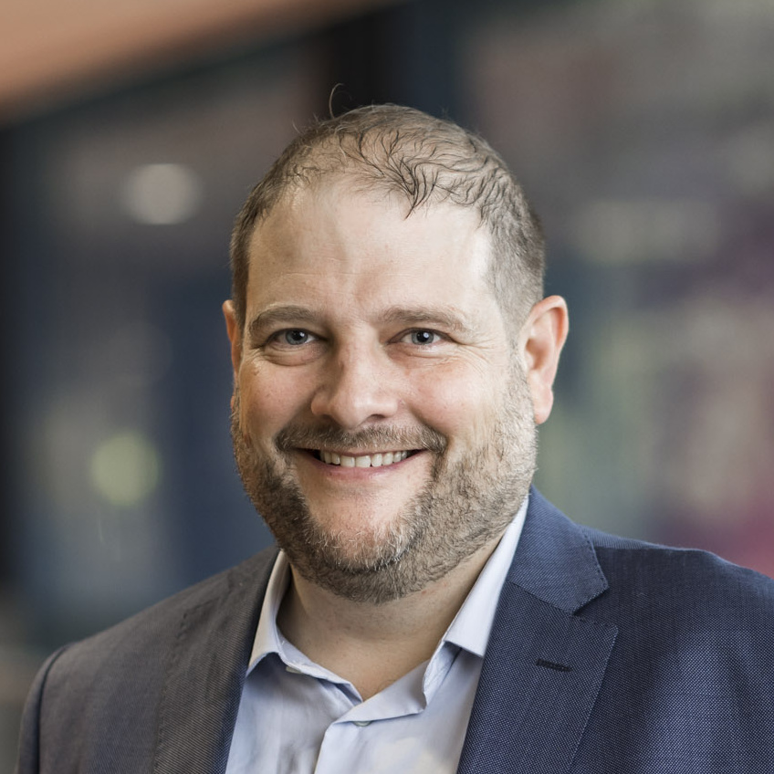
Prof. Tao Chen is a faculty member at the School of Geophysics and Geomatics , China University of Geosciences , specializing in advanced remote sensing and data analysis techniques. His research bridges Image Processing , Machine Learning , and Geo-environmental Monitoring . Focus on Geo-hazards (e.g., flood mapping, landslide susceptibility) Develops hybrid methods for texture enhancement and spatiotemporal change detection Active in IEEE GRSS professional networks Recent publications highlight multi-source data fusion (e.g., SAR + social media) and model interpretability in geospatial risk assessment. Collaborates with experts like Jun Li and Antonio Plaza .
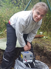
Dr. Stefanie Donner is a Researcher in Seismology affiliated with the Department of Earth System Sciences at the University of Hamburg (Faculty of Mathematics, Informatics and Natural Sciences, MIN). She serves as a seismologist for the Federal Seismological Survey and National Data Center at the Federal Institute for Geosciences and Natural Resources (BGR) in Hannover, Germany, where she leads the Monitoring and Verification unit (B4.3) . Research Focus: Observational seismology, earthquake source dynamics, rotational seismology, and applications of machine learning in geophysical contexts. Contact: Office at Geomatikum Room 1304, Bundesstrasse 55, 20146 Hamburg; Phone: +49 40 42838 4921; Email: stefanie.donner@bgr.de .
Dr. Chung-Ru Ho is a Professor in the Department of Marine Environmental Informatics at National Taiwan Ocean University. With a Ph.D. in applied ocean science from the University of Delaware (1994), he serves on international committees including COSPAR and IUGG. His research focuses on ocean dynamics, typhoon–ocean interaction, and climate variability. Education: Ph.D. in Applied Ocean Science, University of Delaware, USA (1994) Research Trends: Recent publications highlight applications of remote sensing in ocean observation, analysis of wind-wave relationships in Taiwan waters, and innovative data reconstruction techniques for sea surface temperature. These works connect to broader disciplines like marine science, environmental informatics, and climate dynamics. Committee Memberships: Active member of COSPAR (Committee on Space Research) and IUGG (International Union of Geodesy and Geophysics).
Dr. Vásárhelyi Balázs is an Associate Professor at the Department of Engineering Geology and Geotechnics, Budapest University of Technology and Economics (Faculty of Civil Engineering). He has been teaching courses such as Engineering geological and geotechnical project , Geology , Tunneling , and Rock Mechanics since the early 2010s, with a focus on rock mass characterization and geotechnical stability. Position: Associate Professor Department: Engineering Geology and Geotechnics Email: vasarhelyi.balazs@emk.bme.hu Office Hours: Mondays 11-12 His research connects geological strength parameters with engineering applications through projects like the Mátra Gravitational and Geophysical Laboratory measurements. He has explored the relationships between Geological Strength Index (GSI) , Hoek-Brown criterion , and Q-system for rock mass classification, with particular emphasis on granitic and sedimentary rocks. Recent publications analyze: Stress thresholds for crack initiation in granitic rocks using machine learning Thermal effects on limestone and sandstone mechanical properties Modified RQD applications for rock mass characterization Brittle-to-ductile transition stress in rock masses Impact resistance correlations with compressive strength Scientific recognition includes the Építő250 Scholarship . His work spans empirical, analytical, and numerical approaches to geotechnical challenges in tunneling and slope stability.
Dr Rebecca Dell is an Assistant Professor in Glaciology at the Scott Polar Research Institute (SPRI), University of Cambridge, and a Director of Studies and Geography Fellow at Trinity Hall, Cambridge. She specializes in remote sensing and fieldwork-based studies of Antarctic ice shelves , focusing on meltwater dynamics and stability. Her research integrates machine learning with satellite data to advance understanding of polar environments. PhD in Polar Studies (2021), University of Cambridge MPhil in Geography (2017), Newcastle University BSc (First Class) in Geography (2016), University of Durham Dr Dell's research explores the spatio-temporal variation of ice shelf meltwater using remote sensing and machine learning. She developed a Random Forest Classifier to detect slush and ponded water across Antarctica, improving climate models. Her work spans collaborations with NSF/NERC projects and ESA's Climate Change Initiative. Recent publications highlight her contributions to Antarctic surface hydrology , including studies on meltwater-induced fracture, slush detection, and SAR/optical satellite integration. She has conducted fieldwork in Antarctica and Iceland. NERC Field Spectrometry Facility Loan (2022) ESA Climate Change Initiative Fellowship (£83,000) (2020) NERC PhD Studentship (~£78,000) (2017) Dr Dell supervises postgraduate students on topics like ice shelf stability and supraglacial hydrology. She is affiliated with Trinity Hall, Cambridge, and previously held roles at Newnham College and the European Geosciences Union.
Dr. Caiyun Zhang is a Professor in the Department of Geosciences at Florida Atlantic University . She holds a Ph.D. in Geospatial Information Sciences from the University of Texas at Dallas, and a Master’s and Bachelor’s degree in Marine Geology from Ocean University of China. Her research focuses on advanced geospatial methodologies, including hyperspectral and LiDAR remote sensing, machine learning applications, and object-based image analysis for environmental monitoring. Education: Ph.D. in Geospatial Information Sciences, University of Texas at Dallas MS in Marine Geology, Ocean University of China BS in Marine Geology, Ocean University of China Her research spans critical environmental challenges such as coastal vulnerability to sea level rise and hurricanes, permafrost thaw assessment in Alaska, and vegetation dynamics in subtropical wetlands. She integrates multi-sensor systems (LiDAR, hyperspectral, and thermal data) to model complex ecological processes. Recent publications emphasize machine learning-driven climate modeling for permafrost active layer thickness, fire-induced thaw quantification , and vegetation-carbon flux relationships . Her work bridges remote sensing technology with environmental science to address global climate change impacts. Dr. Zhang teaches graduate courses including Hyperspectral Remote Sensing (GIS 6127C) and LiDAR Remote Sensing (GIS 6032C), fostering advanced geospatial education.
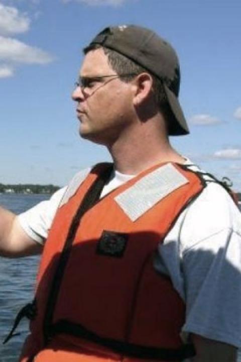
Kurt Schwehr serves as Affiliate Associate Research Professor at the University of New Hampshire's Center for Coastal and Ocean Mapping (CCOM) while concurrently holding the position of Head of Ocean Engineering at Google. His distinguished career spans NASA's Jet Propulsion Laboratory, NASA Ames Research Center, Carnegie Mellon University's Robotics Institute, and the United States Geological Survey, demonstrating exceptional cross-disciplinary expertise in marine and space systems. His educational foundation includes a Ph.D. in Marine Geology and Geophysics from Scripps Institution of Oceanography and a B.S. in Geology from Stanford University. These qualifications underpin his innovative approach to solving complex environmental challenges through technological integration. Dr. Schwehr's research program uniquely bridges computer science, geology, and geophysics to develop robotic systems and real-time visualization tools for extreme environments. His work focuses on applying computer graphics and autonomous systems to marine conservation and planetary exploration, with signature projects including the Chart-of-the-Future initiative, maritime Automatic Identification System applications, and Mars mission visualization software. The Right Whale AIS Project exemplifies his commitment to practical conservation, using acoustic networks to prevent ship-whale collisions in Boston Approaches. Analysis of his publication trajectory reveals a strategic evolution from Mars exploration software (2000s) toward ocean-focused geospatial technologies. Recent work emphasizes cloud-based big data processing (Google Earth Engine), high-resolution land cover mapping, and AIS-driven marine spatial planning, reflecting his dual focus on environmental monitoring infrastructure and actionable conservation tools. His publications consistently integrate open-source methodologies with real-world maritime safety applications. As a mission-critical contributor to NASA's Mars exploration program, Dr. Schwehr developed visualization systems for Pathfinder through Mars Science Laboratory missions. His leadership of the Right Whale AIS Project demonstrates applied innovation in marine conservation technology. An active open-source advocate, he develops and maintains software libraries using Python, C++, and Emacs org-mode while contributing to major geospatial projects like GDAL and Google Earth Engine.
Professor Stuart Raymond Clark is a geophysicist and computational geoscientist at the University of New South Wales (UNSW), where he currently serves as Professor in Civil and Environmental Engineering and Director of Governance for the Faculty of Engineering. Previously, he held roles at Simula Research Laboratory and Kalkulo AS, focusing on plate tectonics, paleogeography, and numerical simulations. PhD in Geophysics, University of Sydney (2007) Graduate Certificate in University Learning and Teaching, UNSW (2022) Master of Arts, University of Melbourne (2004) BSc.(Hons)/B. Arts, University of Sydney (2002) Stuart's research explores the interplay between deep Earth processes and sedimentary basin development, with a focus on applying machine learning and numerical modeling to geological problems. He works on topics including subduction dynamics, sediment transport, and geophysical fluid dynamics, often in collaboration with industry and international partners. His recent projects include Kinematica: Inference-Based Rapid Resource Exploration Scenario Testing (Australian Research Council, 2020-2023) and Geodynamical Assessments of Subsidence in the North West Shelf in Australia (2024-2025, Australian Lead CI). He has published 48 journal articles, with 14 in top 10% journals over three years. Scientia Professor (UNSW, 2025) ARC Postgraduate Council's Supervisor Award (2021) UNSW Vice Chancellor's Teaching Excellence Award - Rising Star (2019) UNSW Engineering Hero Award (2020) Stuart supervises PhD and research master's students in geophysics, structural geology, and machine learning applications. He teaches undergraduate and postgraduate courses in geology, sedimentary resources, and seismic imaging. His research is supported by grants from the Australian Research Council, CSIRO, and industry partners like Lundin Energy.
Volker Oye is an Associate Professor in the Department of Meteorology and Oceanography at the University of Oslo . His work spans seismology, geophysics, and applied machine learning, with a focus on seismic hazard assessment, induced seismicity from subsurface fluid injection, and ambient seismic noise analysis. He actively contributes to CO 2 storage safety, geothermal energy monitoring, and urban seismic risk mitigation. Research Interests: Seismology, Geophysics, CO 2 Storage Monitoring, Fault Reactivation, Ambient Noise Analysis, Machine Learning Applications. Recent Publications highlight trends in seismic event relocation, induced seismicity from geothermal and CO 2 projects, urban construction monitoring with low-cost sensors, and planetary acoustic signal detection. His work integrates field observations, laboratory experiments, and advanced signal processing. Scientific Contributions: No explicit awards listed, but his collaborative projects and peer-reviewed articles demonstrate leadership in seismic risk assessment and geophysical technology innovation.
Dr Jefferson Gomes , Senior Lecturer at the University of Aberdeen since 2023, is a computational physicist specializing in multi-fluid dynamics and nuclear engineering. His research spans energy technologies, environmental hazards, and geophysical systems. Education: PhD (Imperial College London, 2004), MSc (State University of Rio de Janeiro, 1999), BSc in Chemical Engineering (Federal University of Rio de Janeiro, 1996) Research Interests: Focus on computational multi-fluid dynamics (CMFD) and multi-physics modeling, with applications in nuclear reactor safety, unconventional shale gas, CO₂ migration, and geothermal energy. Expertise in finite element methods (FEM), machine learning, and reduced-order models. Recent Publications: 2025 work on multifluid reactor dynamics and shale gas adsorption; 2024 studies on CO₂ sequestration and corium flow during accidents. Earlier work includes nuclear reactor design optimization and granular flow modeling. Awards: Fellow of the Higher Education Academy (FHEA). Teaching: Offers courses in Chemical Thermodynamics, Process Engineering, and Computational Fluid Dynamics at undergraduate and postgraduate levels. Collaborations: Partnerships with Imperial College London, Federal University of Rio de Janeiro, and industry projects for BNFL, BP, and JAEA.
János Török is an Associate Professor at the Department of Theoretical Physics, Budapest University of Technology and Economics, affiliated with the Morphodynamics group. His research spans granular materials, social network modeling, and morphodynamics of pebbles. Granular materials: Quasi-static shearing, shear band formation, particle shape effects, hopper flow Social science: Conflicts on Wikipedia, consensus modeling, social network dynamics Morphodynamics: Collective abrasion, fragmentation of pebbles His recent publications focus on computational modeling of granular physics and social dynamics, with applications in machine learning for malaria detection. Articles highlight interdisciplinary approaches to phase transitions, network analysis, and material deformation. Shear zones in granular materials Deep learning for social network parameters Malaria detection software He is involved in open-source projects (WWM, Mozi) and teaches courses in mathematical methods, mechanics, and scientific programming.
Nishtha Srivastava is a Research Fellow at the Frankfurt Institute for Advanced Studies (FIAS) under the Theoretical Sciences school. Her work bridges Seismology and Artificial Intelligence, focusing on enhancing Earthquake Early Warning Systems (EEWs) and seismic event detection through AI/ML models. Her research explores seismic stress release patterns, deep learning architectures for earthquake magnitude estimation (e.g., CREIME, PolarCAP), and automated volcanic event analysis. Key projects include the BMBF-funded Seismology and Artificial Intelligence (SAI) initiative, which develops tools like AWESAM for real-time volcano monitoring. She collaborates with PhD students (Jonas Köhler, Abel Daniel Zaragoza Alonzo) and postdocs (Wei Li, Claudia Quinteros) at FIAS, contributing to advancements in seismic phase picking, P-wave detection, and industrial AI applications. Her work emphasizes rapid warning systems in high-risk regions like Southern California and Indonesia.
Dr. Jeremy Maurer is an Assistant Professor in the Department of Geosciences and Geological and Petroleum Engineering at Missouri University of Science and Technology since January 2020. His research focuses on earthquake science, geodetic data analysis, and predictive modeling using tools like InSAR, GNSS, and machine learning. Ph.D. in Geophysics and Seismology, Stanford University (2018) M.S. in Geosciences, Indiana University - Bloomington (2013) M.A. in Exegetical Studies, Grace College and Seminary (2011) B.A. in General Science, Grace College and Seminary (2010) Dr. Maurer's research bridges geophysics, seismology, and geo-data science. He specializes in quantifying earthquake hazards through geodetic strain rate estimation, fault slip deficit modeling, and InSAR validation with lidar/GPS. His work spans Californian groundwater systems, Caribbean plate boundaries, and Central American tectonic zones. Recent publications (2024-2025) address subsidence modeling in agricultural regions, seismic hazard frameworks for New Zealand, and advanced InSAR calibration techniques. Themes include fault mechanics, strain rate dynamics, and cross-disciplinary applications of quantitative tools. Dr. Maurer is a member of the American Geophysical Union and Seismological Society of America . His work has been featured in 19 media outlets, including studies on directional shaking from the 1976 Guatemala earthquake and the launch of the first U.S. geospatial engineering master's degree.
Ali Gurbuz is an Assistant Professor in the Department of Electrical and Computer Engineering at Mississippi State University's College of Engineering, specializing in smart sensing systems and machine learning applications. His research integrates signal processing with autonomous systems for environmental monitoring and medical imaging. His educational background includes a Bachelor's degree from Bilkent University (Turkey), and Master's/Doctoral degrees in Electrical and Computer Engineering from Georgia Institute of Technology. Since joining MSU in 2018 after a position at the University of Alabama, he has established himself as a leading researcher in sensing technologies. Gurbuz's research focuses on developing intelligent front-end sensing systems that optimize data acquisition using machine learning, addressing critical bottlenecks in processing capabilities for applications ranging from autonomous vehicles to precision agriculture. His work emphasizes efficient data collection through radar, lidar, and camera systems, with particular attention to soil moisture estimation and medical imaging applications. His publication portfolio demonstrates strong trends in UAS-based remote sensing, RF interference mitigation, and deep learning for signal processing. Key research areas include GNSS reflectometry for soil moisture mapping, radar-based sign language recognition, and seafloor gas seep detection using sonar data. NSF CAREER Award recipient (2021) for $500,000 to advance smart sensing systems research Gurbuz co-directs the Information Processing and Sensing (IMPRESS) research group at MSU, collaborating extensively with the Center for Advanced Vehicular Systems and Geosystems Research Institute. His work bridges theoretical signal processing with practical implementations in agricultural monitoring, environmental sensing, and medical applications, with several projects demonstrating hardware-software co-design approaches for next-generation sensing systems.
Bénédicte Fruneau is an Associate Professor at Université Gustave Eiffel and a member of the ACTE research team within LASTIG (Laboratory of Studies and Research in Geomatics). She serves as co-coordinator of the Master 2 Geographical Information, Spatial Analysis and Remote Sensing program. Her expertise lies in radar interferometry for ground deformation monitoring and seismic cycle studies. Research Interests : DInSAR and MTInSAR techniques Seismic cycle deformation analysis Urban and suburban displacement monitoring Residual mining subsidence characterization Publications focus on satellite radar interferometry applications for glacier monitoring , forest phenology , anthropogenic deformation , and post-mining subsidence . Her work spans geophysics, remote sensing, and geotechnical risk assessment across France, Taiwan, Mexico, and India. Education : Habilitation (HDR) in Radar Interferometry, Université Paris-Est (2011) PhD in Geophysics, Université Paris 7 (1995) MSc in Signal/Image/Parole, Grenoble INP (1991) Electrical Engineering degree, Grenoble INP (1991)