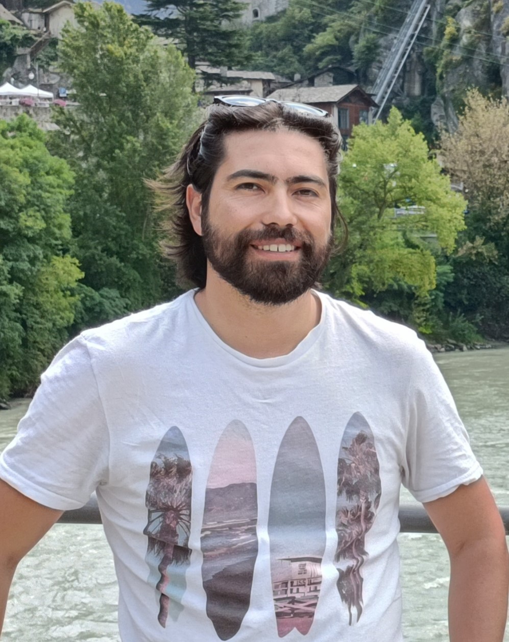
Andrea Ajmarمشاهده پروفایل
دانشیار
Andrea Ajmar is an Associate Professor at the Politecnico di Torino, affiliated with the Interuniversity Department of Territorial Sciences, Planning and Policies (DIST). He serves as the contact person for the University Language Centre (CLA) and leads research in geomatics, spatial data science, and emergency management. His work is aligned with UN SDG 11: Sustainable Cities and Communities, and he contributes to major EU-funded projects such as LEXIS (H2020). Scientific Disciplinary Sector: CEAR-04/A - Geomatics (Area 0008 - Civil Engineering and Architecture) Research Laboratory: SDG11Lab (DIST) ERC Sectors: PE10_14, SH2_10, PE10_4, SH2_9 Andrea Ajmar's research focuses on applying Spatial Data Science techniques to transportation, urban planning, and disaster response. His work leverages GIS, remote sensing, and spatial data infrastructures to analyze urban resilience, environmental change, and emergency workflows. He has published extensively on topics including climate adaptation in cities, glacier monitoring, flood modeling, and post-disaster assessment tools. The recent publications of Andrea Ajmar demonstrate a strong trend in integrating high-performance computing, AI, and big data with geospatial technologies for urban and environmental applications. His work spans climate resilience, disaster impact modeling, and satellite-based environmental monitoring, reflecting a multidisciplinary approach to sustainable development. Scientific Awards and Recognitions: BEST POSTER PAPER AWARD, ISPRS (2008) Teaching and Advising: Andrea Ajmar is actively involved in teaching and mentoring. He supervises multiple PhD students in the Urban and Regional Development and Architectural and Landscape Heritage programs. He teaches advanced courses such as "Advanced Geospatial Data Management" and "Geomatics for Urban and Regional Planning." He has also earned teaching certifications including Learning to Teach (L2T), Mentoring Polito Project (M2P), and Learning to Teach with Innovative Teaching Project (L2T_ITP). Research Projects: He served as the Scientific Manager for the EU H2020 LEXIS project, focusing on HPC and Big Data enabled large-scale test-beds and applications in disaster management and urban planning. Professional Service: Ajmar has held leadership roles in international organizations, including Vice-President of the International Working Group on Satellite Emergency Mapping (2013–2014), Secretary of ISPRS ICWG IV/VIII (2008–2012), and member of the ASITA Scientific Committee (2008–2012). He also served as Guest Editor for the journal Remote Sensing (2019–2021) and participated in conference program committees such as GISTAM 2019 and 2020.