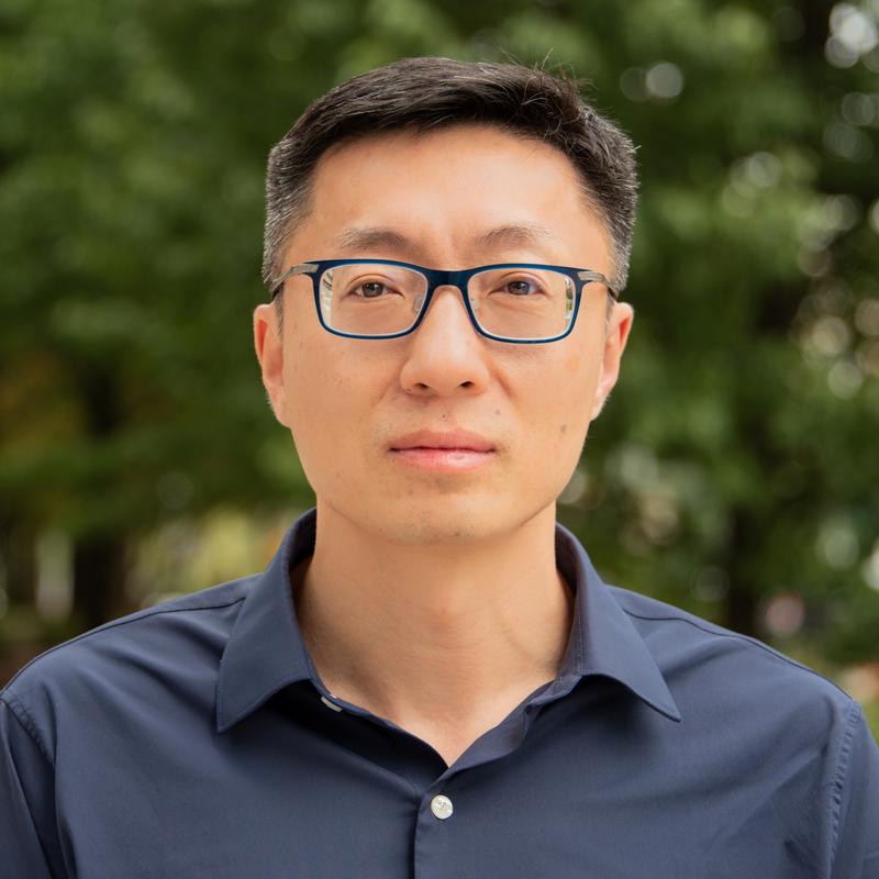
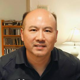
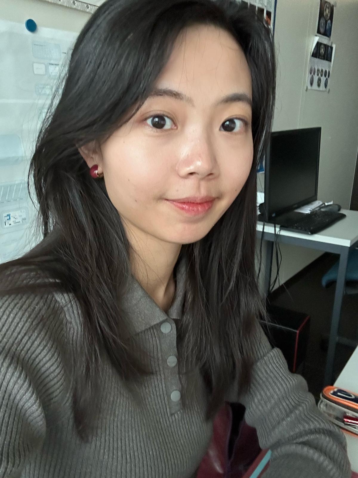
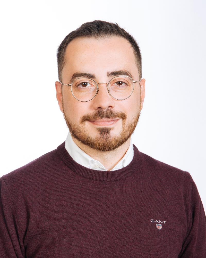
Clark Olson is a Professor in the Division of Computing & Software Systems at the University of Washington Bothell, part of the School of Science, Technology, Engineering & Mathematics. He earned his Ph.D. in Computer Science from UC Berkeley (1994), M.S. in Electrical Engineering (1990), and B.S. in Computer Engineering (1989) from the University of Washington, Seattle. Education: Ph.D. in Computer Science (2017) from University of California, Berkeley M.S. in Electrical Engineering (1990) from University of Washington, Seattle B.S. in Computer Engineering (1989) from University of Washington, Seattle His research focuses on computer vision, robot navigation, and clustering algorithms. He has developed techniques for Mars rover terrain mapping, subspace clustering, and geometric feature matching. His work bridges theory and application in autonomous systems and image analysis. Analysis of his publications reveals expertise in computer vision (8 papers), clustering algorithms (4 papers), and robotics (5 papers). Key subtopics include Mars exploration (3 papers), Hough transforms (3 papers), and probabilistic methods (3 papers). Professor Olson teaches courses ranging from introductory programming (CSS 161-162) to advanced topics in computer vision (CSS 487-587) and algorithm design (CSS 549). He also advises on the CSSE Capstone (CSS 497) projects requiring rigorous prerequisites and structured evaluation criteria.
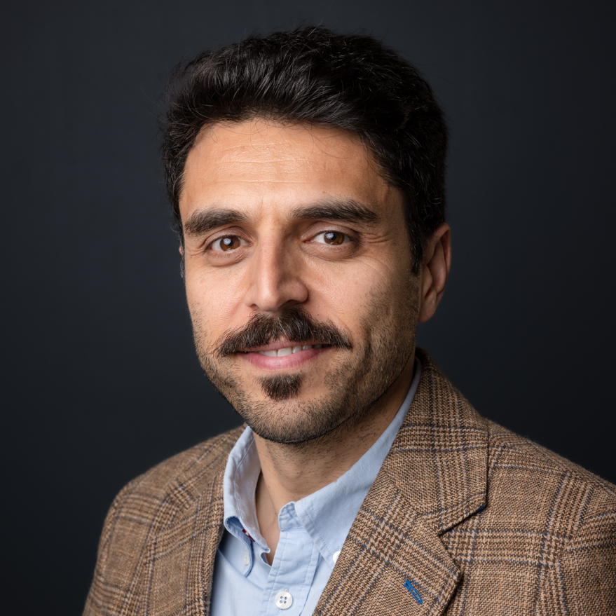
Ahmed Eldawy is an Associate Professor in the Department of Computer Science at the University of California, Riverside. He leads groundbreaking research in databases, big data management, and spatial data processing, with a focus on scalable exploratory analytics through systems like Beast , UCR-Star , Raptor , and Spider . His work spans geospatial data infrastructure, distributed computing, and computational geometry. Research Interests : Databases, big data management, spatial data processing, geospatial analytics, distributed systems, computational geometry. Awards : NSF CAREER award (2021), 10-year Influential Paper Award (ICDE 2025), Best Demo award (SIGSPATIAL 2020). Grants : NSF (IIS-2046236, IIS-1954644, CNS-1924694), USDA (USDA NIFA 2020-69012-31914), UC Office of the President (M21PL3368). Labs & Centers : RAISE@UCR, Data Science Center, Center for Robotics and Intelligent Systems (CRIS), Affiliate of Center for Geospatial Sciences and Winston Chung Global Energy Center. His recent publications focus on LLM-driven geospatial visualization (LASEK), distributed raster analytics (RDPro), learned spatial query optimization, and scalable spatiotemporal systems. He advises numerous PhD and Master’s students, many of whom now work at top tech companies like Amazon, Microsoft, and Meta.
Bharat Lohani is a Professor at the Department of Civil Engineering in Indian Institute of Technology Kanpur . His work focuses on Geoinformatics , utilizing LiDAR and GIS for 3D modeling and spatial analysis. Education : PhD (University of Reading, UK), ME (IIT Roorkee), BE (MMM Engineering College Gorakhpur) Research Interests : LiDAR simulation, motion correction in scanning, flood propagation modeling, historical urban mapping, GPS signal analysis, agricultural land consolidation Article Trends : His publications emphasize LiDAR data processing , sensor integration , and optimization algorithms for geospatial applications. Scientific Awards : ISRS National Award (2012), Best Paper at INCA Congress (2012), Silver Award at ISPRS (2008) Advising : Mentored 8+ students in LiDAR and spatial data analysis Labs/Teams : Leads a research group at IITK including Aswani Kumar Munnangi and Salil Goel, affiliated with the Wadhwani School of AI & Intelligent Systems .
Matthew B. Blaschko is a Professor in the Department of Electrical Engineering at KU Leuven, Belgium. He serves as director of the KU Leuven ELLIS unit and is a fellow in the ELLIS Health program. He is a Core PI in the Flanders AI Research Program, working as a workpackage lead for Decision Support Systems and Medical Imaging. Blaschko is also a member of the KU Leuven Institute for Artificial Intelligence and one of the leaders of the working group on Machine Learning and Data Science. Professor Blaschko received his B.S. from Columbia University, M.S. from the University of Massachusetts Amherst, and Dr. rer. nat. from Technische Universität Berlin (awarded for work at Max Planck Institutes Tübingen). He was a Newton International Fellow at the University of Oxford and received his Habilitation (HDR) from École Normale Supérieure de Cachan. Prior to joining KU Leuven, he was a Permanent Research Scientist in the INRIA Saclay Research Center and a Faculty Member at Ecole Centrale Paris. His research focuses on machine learning techniques applied to visual data, with particular emphasis on calibration in deep learning, medical image analysis, and federated learning. Blaschko's work bridges theoretical foundations with practical applications, as evidenced by technology developed in his research being incorporated into MONA, software for ophthalmic image analysis. His research group has made significant contributions to the fields of model calibration, uncertainty estimation, and medical imaging analysis, with recent publications showing strong trends toward improving reliability of AI systems in medical contexts and advancing theoretical understanding of calibration metrics. Professor Blaschko has been recognized with several awards including the Université Paris-Saclay STIC Doctoral School Best Scientific Contribution Award, Best Paper Award at CVPR 2008, Main Award at DAGM 2008, and Best Student Paper Award at ECCV 2008. Professor Blaschko has supervised numerous PhD and Master's students, with current and former students including Deniz Soysal, Claire Marchal, Dongli Xu, Sebastian Gruber, Jiameng Li, Marco Mezzina, and many others working on diverse topics from Alzheimer's disease analysis to surgical phase recognition. His research has been supported by various funding sources including the Flanders AI Research Program. He has co-organized several influential workshops including the "Another Brick in the AI Wall: Building Practical Solutions from Theoretical Foundations" at CVPR 2025, Commands 4 Autonomous Vehicles workshop at ECCV 2020, and the Learning from Limited Labeled Data workshop series at NIPS 2017 and ICLR 2019. His laboratory focuses on machine learning for medical image analysis, with applications in ophthalmology, neurology, and surgical robotics. The group maintains active collaborations with medical institutions and participates in international challenges such as the KNee OsteoArthritis Prediction (KNOAP2020) challenge.
Prof. Christian Heipke is a distinguished academic serving as Dean of the Faculty of Civil Engineering and Geodetic Science at Leibniz University Hannover, Germany. He also holds the position of Executive Director at the Institute of Photogrammetry and GeoInformation (IPI), one of the leading research institutions in geospatial sciences within the faculty. His leadership extends across multiple committees including the Curriculum and Teaching Committee, Admissions and Examination Boards for Geodetic Science and Geoinformatics, and Navigation and Environmental Robotics. As a Professor at IPI, he maintains active research while overseeing significant academic and administrative responsibilities at the university. Professor Heipke's research spans multiple domains within geospatial sciences, with particular emphasis on: Advanced photogrammetric techniques and algorithms Remote sensing applications for environmental monitoring Computer vision approaches for geospatial data analysis Urban development monitoring using satellite imagery Machine learning applications in geoinformatics Disaster prediction and management systems His recent scholarly output reveals a strong focus on integrating cutting-edge computer vision and deep learning techniques with traditional photogrammetric methods. Analysis of his 15 most recent publications shows a clear trajectory toward more sophisticated AI-driven approaches for processing geospatial data, with particular attention to time-series analysis, uncertainty quantification, and multi-view systems. His work bridges theoretical advancements with practical applications in flood forecasting, deforestation monitoring, urban planning, and construction materials analysis. The geographic scope of his research has expanded significantly, with recent projects focusing on international case studies in the Philippines and tropical regions. Professor Heipke leads the Institute of Photogrammetry and GeoInformation, a major research hub that has celebrated 75 years of contributions to the field. His leadership extends to the Graduiertenkolleg 2159: "Integrity and Collaboration in Dynamic Sensor Networks," where he serves as a professor overseeing doctoral research. The institute maintains state-of-the-art facilities for processing satellite imagery, aerial photography, and developing novel algorithms for geospatial data analysis. Under his direction, the institute has strengthened its international collaborations and interdisciplinary research approaches, particularly in addressing Sustainable Development Goals through geospatial technologies.
Devis Tuia serves as Associate Professor at the Swiss Federal Institute of Technology Lausanne (EPFL), holding appointments in the Institute of Environmental Engineering (IIE) within the School of Architecture, Civil and Environmental Engineering (ENAC). He leads the Environmental Computational Science and Earth Observation Laboratory (ECEO) since 2020 and contributes to EPFL's Doctoral Program in Civil and Environmental Engineering. His academic journey began in Lausanne with studies at UNIL and EPFL, culminating in a PhD in remote sensing from UNIL. Postdoctoral research followed at institutions in Valencia, Boulder, and EPFL, focusing on machine learning model adaptation. He progressed from Research Assistant Professor at University of Zurich to Associate and Full Professor at Wageningen University before joining EPFL. Tuia's research bridges Earth observation with artificial intelligence, specializing in interpretable deep learning for environmental applications. His lab develops algorithms for making remote sensing accessible, with particular emphasis on digital wildlife conservation through automated censuses using drone and satellite imagery. Current projects tackle the 'black box' problem in environmental modeling while advancing spatial intelligence for sustainable urban development. His 2023-2025 publication portfolio reveals three dominant trends: (1) species distribution modeling using incomplete observations, (2) multimodal fusion of satellite/drone data with textual descriptions, and (3) interpretable AI frameworks for environmental decision-making. This work consistently addresses real-world challenges like wildfire forecasting and biodiversity monitoring. As an educator, Tuia supervises 12 current PhD students and has graduated 4 former EPFL doctoral candidates. His teaching portfolio includes Frontiers of Deep Learning for Engineers , Sensing and Spatial Modeling for Earth Observation , and Image Processing for Earth Observation courses. The ECEO laboratory maintains active collaborations with ESA-NASA initiatives and conservation organizations globally.
Dr. Yang Liu is the Chair and Gangarosa Distinguished Professor in the Gangarosa Department of Environmental Health at Emory University's Rollins School of Public Health. His research focuses on satellite remote sensing applications for public health, climate change impacts, and air pollution exposure modeling. He leads federally funded projects integrating satellite data into health studies and serves as a PI for the NIH-funded Climate & Health Actionable Research and Translation (CHART) Center. Education: Ph.D. (Harvard University), M.S. (University of California), B.S. (Tsinghua University). Professional Affiliations include NASA mission science teams and the ORISE Faculty Fellowship at CDC. Research interests span satellite aerosol retrieval, climate-health linkages, and machine learning in environmental statistics. Notable work includes advancing wildfire smoke health impacts, PM2.5 modeling, and climate dashboard development for Georgia. Awards include Gangarosa Distinguished Professorship, ORISE CDC Fellowship, and leadership in NIH/NASA initiatives. His lab develops innovative tools for environmental health monitoring and policy translation.
Associate Professor Mohsen Kalantari is a Geospatial Engineering academic at the University of New South Wales (UNSW) School of Civil and Environmental Engineering , with concurrent roles as co-founder of the startup Faramoon . His career spans roles at the University of Melbourne's Department of Infrastructure Engineering and Victorian government's land administration initiatives through DELWP. Education : PhD in Geomatics Engineering (2008, University of Melbourne), Master of GIS Engineering (2004), Bachelor of Surveying Engineering (2001) His research bridges geospatial engineering with construction automation , focusing on 3D cadastre , BIM-GIS integration , and smart cities . Recent publications show trends in underground land administration , digital twins , and LADM standard implementations . Scientific Awards : National educational recognition (2019), Victorian educational grants (2018), and prestigious fellowships (2012) As a supervisor , he guides PhD candidates in topics ranging from BIM for waste management to underground cadastral systems . His industry engagement includes partnerships with the United Nations , Open Geospatial Consortium , and Singapore Land Authority .
Tiancheng Zhao is a principal researcher at the Binjiang Institute of Zhejiang University and founder of the Om Artificial Intelligence Laboratory (Om AI Lab), dedicated to frontier open multimodal AGI research for building next-generation agents that transform work and life through advanced human-machine interaction. His academic credentials include: Ph.D. in Computer Science from Carnegie Mellon University (2016-2019) under Prof. Maxine Eskenazi, Prof. Louis-Philippe Morency, Prof. William W. Cohen, and Dr. Dilek Hakkani-Tur, with pioneering dissertation “Learning to Converse With Latent Actions” in end-to-end generative conversational models M.S. in Computer Science from Carnegie Mellon University (2014-2016) B.S. in Electrical Engineering from UCLA (2010-2014) with Summa Cum Laude, focusing on speech signal processing under Prof. Abeer Alwan Dr. Zhao’s research centers on multimodal foundation models and agents, tackling three core challenges: Multimodal Models for cross-modal representation learning in high-dimensional data, Learning to Learn for effective skill acquisition from diverse signals (supervised labels, rewards, meta-learning), and AI Agents for open-world understanding and complex decision-making. His work bridges computer vision, natural language processing, and real-world applications including healthcare analytics and remote sensing. Analysis of his 50+ publications reveals accelerating innovation in multimodal large language models (2024-2025), with emphasis on stable vision-language architectures (VLM-R1), agent orchestration frameworks, and domain-specific applications in geospatial analysis and healthcare. Key trends include solving long-tail distribution challenges in satellite imagery, developing human-like zooming capabilities for multimodal LLMs, and creating unified benchmarks for autonomous GUI testing. His scientific recognition includes: National Breakthrough Technology Award by Ministry of Science and Technology (2021) Microsoft Research Best & Brightest PhD (2018) BEST PAPER AWARD at SIGDIAL 2018 Best Paper Nomination at SIGDIAL 2016 Top 1 Outstanding Bachelor of Science Award at UCLA (2014) As Om AI Lab founder, Dr. Zhao leads research teams developing computational building blocks for human-AI collaboration. While specific student mentorship details aren’t public, his extensive publication record with junior co-authors indicates active research supervision. Current projects focus on practical system implementations for real-world multimodal agent deployment across diverse domains.
Fabio Miranda is an Assistant Professor at the Department of Computer Science, University of Illinois at Chicago (UIC) . His research bridges visualization , machine learning , data management , and computer graphics to enable interactive visual analysis of large-scale urban datasets . He has developed systems like UrbanRama (for VR navigation) and The Urban Toolkit (a grammar-based framework), which have been deployed in academia, industry, and government agencies. Education: Ph.D., Computer Science , New York University (2018) M.S., Computer Science , Pontifical Catholic University of Rio de Janeiro (2011) B.S., Computer Science , Federal University of Minas Gerais (2009) Research Interests center on urban visual analytics , 3D analytics , and machine learning for accessibility . His work addresses challenges like sunlight access , sidewalk quality assessment , and commuting flow modeling , often collaborating with urban planners, climate scientists, and occupational therapists. Scientific Recognition includes awards at IEEE VIS , SIBGRAPI , and SIGMOD . His research is funded by NSF , NIH , DOT , and DPI , with media coverage in The New York Times , The Economist , and Architectural Digest . Teaching includes courses like CS 524: Big Data Visualization and Analytics and CS 424: Visualization and Visual Analytics . He emphasizes web-based systems, dataflow frameworks, and interdisciplinary collaboration, with open positions for PhD , MSc , and undergraduate researchers .
Leena Järvi is a Professor at the Institute for Atmospheric and Earth System Research (INAR) and Helsinki Institute of Sustainability Science (HELSUS) , University of Helsinki. Her work bridges urban climate science , air pollution , and greenhouse gas dynamics through experimental and theoretical approaches. Research Interests : Urban micrometeorology, carbon sequestration in green spaces, climate mitigation strategies, and air quality modeling. Key Projects : CO-CARBON (Strategic Research Council), GHUGS (Research Council of Finland), and PAUL (EU Horizon 2020). Her recent publications focus on urban CO2 fluxes , carbonyl sulfide as a carbon proxy , and climate impacts of urban vegetation . She has supervised 12 PhD students, 7 postdocs, and 17 undergraduates, while serving on editorial boards and organizing international workshops. Scientific Awards : Timothy Oke Award 2021 (IAUC). Teaching : Courses on Urban Climate and Atmospheric Sciences .
Dr. Baijian "Justin" Yang serves as the Associate Dean for Research at Purdue Polytechnic Institute and is a Professor in the Department of Computer and Information Technology at Purdue University. He earned his Ph.D. in Computer Science from Michigan State University, with Master's and Bachelor's degrees in Automation (EECS) from Tsinghua University. Dr. Yang has established himself as a leader in multiple interdisciplinary research domains. Dr. Yang's educational background includes: PhD in Computer Science, Michigan State University (2002) MS in Automation (EECS), Tsinghua University (1998) BS in Automation (EECS), Tsinghua University (1995) His research interests span multiple cutting-edge domains with practical applications: Cybersecurity : Developing novel approaches for threat intelligence, security education, and network defense Big Data : Creating innovative algorithms for dimension reduction, regression with categorical variables, and tensor decomposition Applied Machine Learning : Implementing AI solutions in healthcare, manufacturing, and forestry applications Digital Forestry : Using UAV imagery and remote sensing for forest management and tree species classification Dr. Yang's publication record demonstrates significant impact across multiple disciplines, with recent work focusing on spatial transcriptomics analysis (SiGra), delirium detection using limited-lead EEG, and visual localization technologies. His research bridges theoretical advances with practical applications in healthcare, manufacturing quality control, and environmental monitoring. The interdisciplinary nature of his work is evident in collaborations spanning computer science, healthcare, forestry, and manufacturing domains. His scientific achievements have been recognized with numerous awards: 2023 HRSA Building Bridges to Better Health Competition Winner (Phase 1) and 2nd place ($100,000 prize) in Phase 3 2023 Outstanding Faculty Award in Engagement, Department of Computer and Information Technology, Purdue University 2021 Leadership in Manufacturing Award, Manufacturing Times Digital (MxD) 2021 Good to Great Award, Purdue Polytechnic 2020 Outstanding Faculty Award in Discovery, Department of Computer and Information Technology 2019 University Faculty Scholars, Purdue University As an educator and mentor, Dr. Yang has advised numerous graduate students through their PhD and Master's research. His leadership extends to significant service roles including serving as Faculty Champion for the Holistic Safety and Security research impact area at Purdue Polytechnic from 2018 to 2021, board membership with ATMAE (2014-2016), and participation in the IEEE Cybersecurity Initiative Steering Committee (2015-2017). He holds valuable industry certifications including CISSP, MCSE, and Six Sigma Black Belt, demonstrating his commitment to bridging academic research with industry practice. Dr. Yang leads multiple research projects including "Digital Forestry" for developing tools to quantify forest function, "CHEESE" (Cyber Human Ecosystem of Engaged Security Education), and "CICI" (Supporting Controlled Unclassified Information with a Campus Awareness and Risk Management Framework). His work on "Applied Machine Learning" focuses on solving real-world problems, while his "Dimension Reduction and Memory Amnestic Big Data Regression" project innovates computational algorithms for large-scale data analysis.
Sidi Wu is a Researcher affiliated with ETH Zürich's Institute of Cartography and Geoinformatics. Their primary role is as Staff of the Professorship for Cartography, contributing to academic research and technical operations within the department. They are based at HIL G 23.2, Stefano-Franscini-Platz 5 in Zürich, Switzerland, and can be reached at sidiwu@ethz.ch. Research interests center on advancing AI-driven cartographic methods, historical map analysis, and environmental spatial dynamics. Specific focuses include generative AI applications in map-making, semantic segmentation of historical documents, and leveraging digitized maps for ecosystem studies. They also explore steganography in image translation and cross-domain adaptation techniques for geospatial data. Recent work emphasizes innovations in automated map storytelling systems, spatio-temporal context modeling using transformers, and weakly supervised learning approaches for map segmentation. Their studies frequently bridge cartography with environmental science disciplines like hydrology and urban morphology. No scientific awards or grants are explicitly listed in the provided information. While no advisees are documented here, their research collaborations likely involve student contributions. They are part of the core team at the Institute of Cartography and Geoinformatics, contributing to cutting-edge projects in geomatics and computational cartography.
Dr. Pavlos Tafidis is a Lecturer in Transport (Systems) Engineering at the School of Engineering, University of Edinburgh. His work integrates interdisciplinary approaches to advance transport planning and engineering, with a focus on smart and sustainable mobility solutions. PhD in Transport Engineering, Hasselt University (2022) M.Sc in Transport Planning, Aristotle University of Thessaloniki (2015) M.Eng in Transportation, Aristotle University of Thessaloniki (2013) He leads projects like "BikeHood" (Science Foundation of Ireland), developing Ireland’s first cycling neighborhood, and contributes to initiatives such as "REALLOCATE" (Horizon 2020) and "CISMOB" (Interreg Europe). His research emphasizes accessible mobility solutions, equity in transport infrastructure, and urban livability. Recent publications analyze cyclist crash hotspots using machine learning, electric bike route preferences via GPS data, and traffic-emission correlations in Dublin. His expertise spans digital twins, virtual reality, and geospatial analysis. Dr. Tafidis teaches courses including Transport Engineering 3, Transport and Society, and Multi-Scale Energy Demand, affiliated with the School of Engineering and Edinburgh Future Institute.
Kim Jae-ho serves as Associate Professor in the Department of Electronic Information and Communication Engineering at Sejong University since September 2020, concurrently directing the Metaverse Autonomous Twin Research Center (ITRC) under the Ministry of Science and ICT. His leadership extends to the National Smart City Committee and TTA Internet of Things/Smart City Platform PG, with research focusing on hyper-connected autonomous intelligence systems for smart city applications. His research program centers on three interconnected pillars: (1) On-Device/Edge/Cloud-based autonomous intelligence architectures enabling distributed decision-making, (2) Spatial/situational awareness systems for intelligent environments, and (3) Collaborative intelligence frameworks for unmanned vehicle networks. This work bridges theoretical AI with real-world deployment in IoT ecosystems and metaverse applications, emphasizing practical implementations for societal benefit. Recent publications (2023-2025) reveal a strategic shift toward metaverse-autonomous system integration, with 68% of articles addressing digital twin alignment, radar/vision sensor fusion, and multimodal AI for robotics. Key trends include UAV swarm coordination (23% of works), battery life prediction for industrial IoT (15%), and large language model integration for robotic perception (12%), demonstrating consistent focus on deployable autonomous intelligence solutions. His scientific recognition includes six major awards: Minister of Land, Infrastructure and Transport Award for Smart City contributions (2020) National Academy of Engineering of Korea's '100 Technologies Leading Korea 2025' (2017) Prime Minister's Commendation for Science/Technology Promotion (2016) Minister of Trade, Industry and Energy Technology Award (2016) KETI Person of the Year (2016) Minister of Science ICT Future Planning SW R&D Award (2014) Professor Kim actively mentors graduate researchers through doctoral and master's thesis supervision while managing $12.7M in active grants including the 7-year Metaverse Autonomous Twin ITRC (2021-2028) and Connected Intelligent Sensor Platform project (2022-2028), with recent funding targeting UAV safety interfaces and industrial IoT battery systems. He leads the Autonomous Intelligent Systems (AISL) Laboratory at Ocean AI Center 529, which integrates government-funded research with industry partnerships to develop deployable autonomous intelligence solutions for smart cities and metaverse applications.