

معرفی
Associate Professor Mohsen Kalantari is a Geospatial Engineering academic at the University of New South Wales (UNSW) School of Civil and Environmental Engineering, with concurrent roles as co-founder of the startup Faramoon. His career spans roles at the University of Melbourne's Department of Infrastructure Engineering and Victorian government's land administration initiatives through DELWP.
- Education: PhD in Geomatics Engineering (2008, University of Melbourne), Master of GIS Engineering (2004), Bachelor of Surveying Engineering (2001)
His research bridges geospatial engineering with construction automation, focusing on 3D cadastre, BIM-GIS integration, and smart cities. Recent publications show trends in underground land administration, digital twins, and LADM standard implementations.
- Scientific Awards: National educational recognition (2019), Victorian educational grants (2018), and prestigious fellowships (2012)
As a supervisor, he guides PhD candidates in topics ranging from BIM for waste management to underground cadastral systems. His industry engagement includes partnerships with the United Nations, Open Geospatial Consortium, and Singapore Land Authority.
Mohsen Kalantari در سایتهای دیگر
جستوجوهای مرتبط
شاید اینها هم برایتان مناسب باشند
- RRohan BennettSwinburne University of Technology · استاد
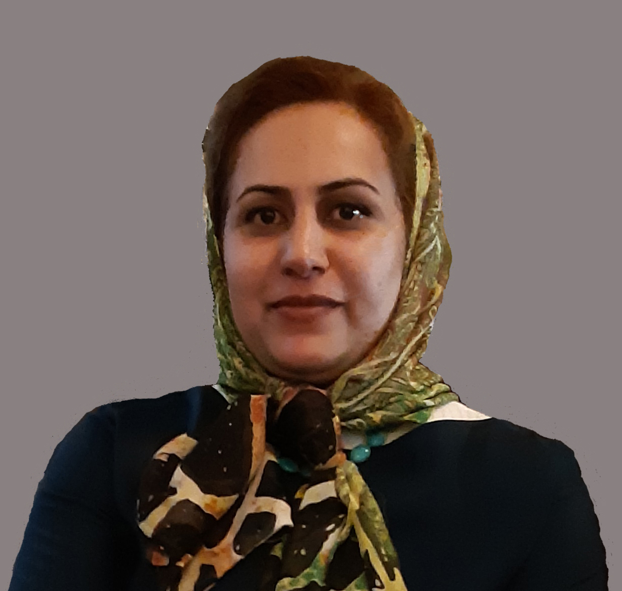 Sara ShirowzhanUniversity of New South Wales · مدرس ارشد
- BBilal AtakAhi Evran University · مدرس
- CCaner GüneyIstanbul Technical University · دانشیار
- MMusa Nehir SÖZENKastamonu University · مدرس
- GGheorghe M. BadeaTechnical University of Civil Engineering Bucharest · استاد